Manitou Springs, Colorado
Looking for the best photography in Manitou Springs? We've got you covered with the top trails, trips, hiking, backpacking, camping and more around Manitou Springs. The detailed guides, photos, and reviews are all submitted by the Outbound community.
Top Photography Spots in and near Manitou Springs
-
Castle Pines, Colorado
Explore Daniel's Park
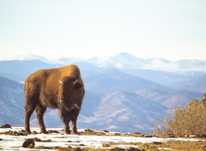
Daniel's Park is a small park in Douglas County that offers unparalleled views of the front range. There is a small walking trail that follows the road if you choose to go on foot, or you can stay in the car and drive the length of Daniel's Park Road. There is a bison herd that calls Daniels Park...Read more -
Jefferson, Colorado
Backpack Lost Creek
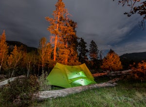
4.05 miI included a trail map of where I camped. There are many sites all throughout this area. From the Lost Park Campground Parking lot follow the Lost Creek for 2.4 miles. At the 1 mile mark was the best place that we found to cross the creek (there are two logs that make a bridge across the creek). ...Read more -
Pueblo, Colorado
Mountain Bike Lake Pueblo State Park
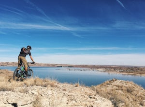
5.013 mi / 350 ft gainThe Basics: Pueblo Reservoir is one of the largest bodies of water on the Front Range, which isn't saying much, but in my opinion this is the best recreation area around Pueblo! Thanks to Southern Colorado Trail Builders, there are dozens of miles of well-maintained trails throughout 3 main arms ...Read more -
Littleton, Colorado
Winter Hiking and Wildlife in Waterton Canyon
3.712.4 miWaterton Canyon is the beginning of the Colorado Trail which stretches 500 miles from Denver to Durango. Camping is allowed on the Colorado Trail but is not allowed in the first 6 miles section of Waterton Canyon, which is managed by Denver Water. The gravel road is great for running, biking, hi...Read more -
Littleton, Colorado
Hike the Eagle's View Trail
4.34.3 mi / 900 ft gainReynolds Park is part of the Jefferson County Open Space system. Located a few miles south of Conifer, off Hwy 285 on S. Foxton Road, it is a foothills park geared for families, groups, and the casual hiker. The network of trails on the west side of the road offers hikers and equestrians anything...Read more -
Lone Tree, Colorado
Hike Bluffs Regional Park Trail
2.7 mi / 200 ft gainThis loop trail is 2.7 miles long but has several options for overlooks that add 0.8 miles to the trip. This is an easy hike with minimal elevation gain and is a great option for the whole family. Every time I've done this hike I've seen numerous deer which only adds to the hike!Read more -
Littleton, Colorado
Hike the Meadowlark Plymouth Trail
4.06 mi / 1197 ft gainFrom the parking lot, you can take the Meadowlark trail to the west or the Plymouth Creek Trail to the southeast. It does not matter which trail you take because it ends up becoming loop. For a more gradual slope up the hill, take the Meadowlark trail. After a little more than a mile, it intersec...Read more -
Littleton, Colorado
Hike or Bike Hildebrand Ranch
4.05.1 mi / 324 ft gainHildebrand Ranch Park is often overshadowed by the other nearby Jeffco Parks, but for the few that it does attract the trails do not disappoint. The Two Brands Trail starts at about 5600ft just off of Deer Creek Canyon Rd. It is a relatively flat trail that tops out at about 5821ft making it a...Read more -
Bailey, Colorado
Payne Creek Trail via Brookside McCurdy Trailhead
4.517.98 mi / 3773 ft gainDay 1: Park at the Payne Creek/Brookside Trailhead (8,040 ft.) right outside Bailey. You'll go on the trail for about a mile before the trail parts to Craig Meadows or Craig Park. If you start this in the nighttime, it's best to camp before you part ways on the trail as it's a little more spaciou...Read more

