Nathrop, Colorado
Looking for the best hiking in Nathrop? We've got you covered with the top trails, trips, hiking, backpacking, camping and more around Nathrop. The detailed guides, photos, and reviews are all submitted by the Outbound community.
Top Hiking Spots in and near Nathrop
-
Meredith, Colorado
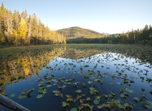
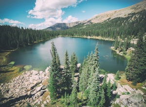
Hike to Chapman Lake
1.6 miFrom downtown Basalt, drive up the Fryingpan River Road 28 miles and turn right on CR #504, also known as Elliot Way, just before Norrie Colony. Drive across the river and up the switchbacks for approximately 3 miles. Take the left fork, continue 1 mile and take the right fork approximately 1/2 m...Read more -
Jefferson, Colorado
Backpack Lost Creek
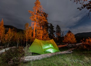
4.05 miI included a trail map of where I camped. There are many sites all throughout this area. From the Lost Park Campground Parking lot follow the Lost Creek for 2.4 miles. At the 1 mile mark was the best place that we found to cross the creek (there are two logs that make a bridge across the creek). ...Read more -
4402 Garden Park Road, Colorado
Mountain Bike at Oil Well Flats
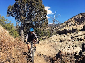
13 mi / 1200 ft gainThe Basics: Picture this: Winter on Colorado's Front Range. It snowed yesterday. You're stir crazy because today it's 60 degrees and sunny outside, but the trails are a muddy mess! Cue Oil Well Flats. Located just an hour outside of Colorado Springs, this trail network rarely sees precipitation, ...Read more -
Cañon City, Colorado
Hike Temple Canyon
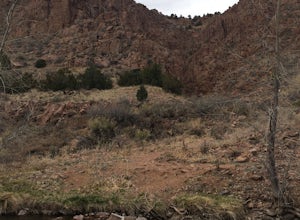
5.01 mi / 400 ft gainTake 1st Ave heading south out of Canon City and you'll come to Temple Canyon Road. You'll take 7 miles of dirt road to Temple Canyon Park. It is free to enter and there is a decent campground there where you can camp for free for up to 14 days. The trail begins at Temple Ridge Campground. The tr...Read more -
Cañon City, Colorado
Hike Tunnel Drive
3.8 mi / 521 ft gainThis 3.8 mile out and back trail is a very easy hike but can have moderate to high foot traffic depending on the season and time of day. I recommend doing this hike early in the morning to not only beat the heat, but to beat the other hikers. What I love about this hike is the chance to see the t...Read more -
Divide, Colorado
Hike to Rock Pond
4.04.76 miThis hike begins at the east side of the Visitor's Center parking lot. The Visitor's Center keeps a record of any recent wildlife sightings, so its a good idea to check in the building if your goal is to see some animals. Otherwise, head to the end of the parking lot and take trail #5 down the hi...Read more -
Crested Butte, Colorado
Upper Westside to Crested Butte
5.010.92 mi / 2730 ft gainUpper Westside to Crested Butte is an out-and-back trail where you may see beautiful wildflowers located near Crested Butte, Colorado.Read more -
Breckenridge, Colorado
Mount Guyot Snow Climb
5 mi / 2500 ft gainFrom Jefferson follow 35 north to 54 and drive up 54 as far as possible ending a few miles before Georgia pass. Depending on the snowpack and drifts on the unplowed road, you could hike as few as 5 miles round trip or as many as 10. If the snow blocks you from driving past Michigan Creek Campgro...Read more -
Leadville, Colorado
Savage Lakes Trail
5.03.97 mi / 1299 ft gainThe majority of this hike traverses through the beautiful forest that is part of the Holy Cross Wilderness. No significant views are to be had until you've climbed 1,300 ft over 2. miles and reach lower Savage Lake. The trail is easy enough to follow with no junctions along the way, and is adjace...Read more -
Jefferson, Colorado
Colorado Trail: Kenosha Pass to FR 130
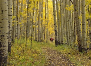
4.66.81 mi / 938 ft gainThe Colorado Trail (http://www.coloradotrail.org) is 500 miles long and stretches from Denver to Durango. Perhaps the most-traveled portion of the Colorado Trail is at Kenosha Pass. Kenosha Pass is well-known for its thick, colorful stands of aspen in the fall. During peak leaf season (late Septe...Read more -
Aspen, Colorado
Conundrum Hot Springs via Conundrum Creek
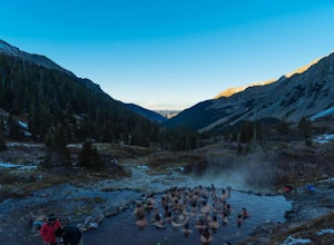
4.316.77 mi / 2717 ft gainAfter picking up your required overnight permit, start your morning with a coffee in Aspen, then drive out 15 min to the trailhead at the end of Conundrum Creek road. The trail is a straight shot 9 miles up the valley, through expansive meadows and an always incredible view of the mountains and ...Read more -
Minturn, Colorado
Hike to Fancy Pass
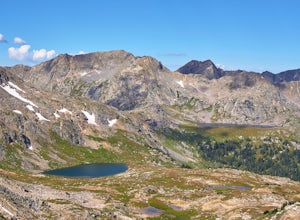
5.06 mi / 2373 ft gainThe Fancy Pass Trail near Red Cliff is an excellent option for those looking to experience hiking in the rugged and pristine conditions of a wilderness area. This 6 mile roundtrip trail will take you into the Holy Cross Wilderness and up close and personal with towering peaks, verdant meadows, an...Read more -
Breckenridge, Colorado
Hike Baker's Tank Loop
3.86 mi / 645 ft gainWhen the aspens are sporting their golden hues of autumn, Baker's Tank Loop is a perfect fall hike. The trailhead is about ten minutes from downtown Breckenridge. For part of the hike, you may have the world to yourself. But, for the road portion, you'll likely have to share with the leaf peep...Read more -
Aspen, Colorado
Ute Trail to Ute Rock
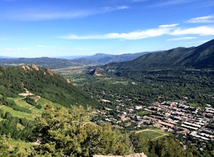
4.71.75 mi / 1122 ft gainThis shady trail of switchbacks ascends steadily (over a thousand feet in under a mile) to a rock outcropping at 9,185 feet. Yes, you can expect your heart to be pounding and to be huffing and puffing as you climb Ute Trail. But the view of Aspen that rewards you is spectacular. The trail is pre...Read more -
Aspen, Colorado
Backpack to Copper Lake
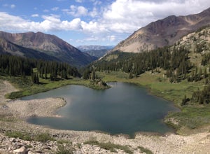
10 miLooking for a wildflower hike, we decided on Copper Lake in the Maroon Bells Wilderness as a place to base camp for 4 nights. It is 5 miles from the Trailhead, which is off Gothic Road above Crested Butte (2WD Accessible).Copper Lake is this beautiful alpine lake, situated right at treeline, with...Read more -
Crested Butte, Colorado
Drive Kebler Pass for Fall Colors
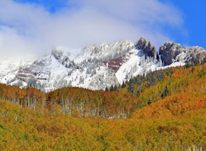
5.0Kebler Pass, or Gunnison County Road (GCR) 12, is an excellent place to see fall colors in Colorado. You won't get nearly as much congestion as on Independence Pass in Aspen, but you get just as many yellow and amber leaves. The road is dirt but passable by any vehicle–although because it's at ov...Read more

