Park County, Colorado
Looking for the best photography in Park County? We've got you covered with the top trails, trips, hiking, backpacking, camping and more around Park County. The detailed guides, photos, and reviews are all submitted by the Outbound community.
Top Photography Spots in and near Park County
-
Georgetown, Colorado
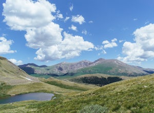
Hike to Square Top Lakes
4.3 mi / 1080 ft gainStarting from Guanella Pass, right across from the Bierstadt trailhead, Square Top Lakes is definitely a hidden gem. Most people here are attempting to do the 14er, but if you've already bagged that one (or are just looking for some high altitude hiking to get you ready for it), Square Top Lakes ...Read more -
Cripple Creek, Colorado
Drive Gold Camp Road
4.35 miGold Camp Road is a road that begins near Bear Creek Regional park. As you drive up the winding road, the road will turn to dirt. Continue driving down the dirt road, turn the corner and BAM, you're hit with some mountain views that will take your breath away. As you continue to drive Gold camp r...Read more -
Evergreen, Colorado
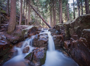
Maxwell Falls
3.43.95 mi / 928 ft gainLocated just outside of Evergreen, this beginner hike is a great escape from the city for a few hours. There are three different options to hike to the falls: Maxwell Falls Lower Trail (4 miles), Upper Maxwell Falls Trail (1.1 miles), and Maxwell Falls Bluffs Cliffside Trail Loop (5 miles). On th...Read more -
Dillon, Colorado
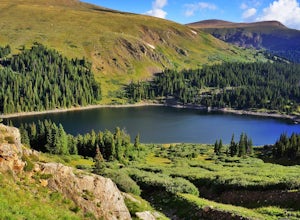
Silver Dollar Lake Trail
5.03.93 mi / 945 ft gainGuanella Pass, which connects the charming and historic town of Georgetown in the north to the blink-and-you’ll-miss-it Grant to the south, is a recreational outdoorsman’s dream. Volumes could be written on what this 22-mile scenic byway has to offer. Silver Dollar Lake Trail is just one tiny po...Read more -
Leadville, Colorado
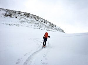
Backcountry Ski at Fremont Pass
Starting at 11,319 feet of elevation, you can choose which direction to head into the backcountry. Park at the pull-off area at the bend in the road. From here, you can head into the woods to the right (there are usually tracks from other skiers to follow) or follow Trail Rd. to reach some peaks ...Read more -
Littleton, Colorado
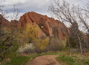
Hike the Fountain Valley Trail at Roxborough State Park
4.82.3 mi / 100 ft gainThe Fountain Valley Trail at Roxborough State Park is a very easy trail that's perfect for those that want to enjoy the outdoors but not subject themselves to the rigors of climbing a 14er. This very well maintained trail is wide and flat and perfect for groups, families, or for taking visitors t...Read more -
Littleton, Colorado
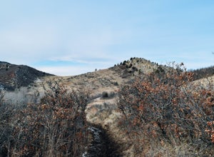
Hike to Carpenter Peak
4.56.2 mi / 1171 ft gainCarpenter Peak stands at 7,166 feet above sea level. While that altitude might not exactly take your breath away, the views from the top certainly will. Starting at the Visitor's Center, the trail to Carpenter's Peak begins as a relatively flat, well-traveled trail. A little less than a mile into...Read more -
Littleton, Colorado
Walk the Willow Creek Loop
1.4 miRoxborough State Park is located on the outskirts of Littleton, Colorado. Boasting incredible red rock formations and abundant wildlife, it is the perfect place for a quick escape outside.The Willow Creek Loop connects to the two parking lots in the park, so it is impossible to miss. With only th...Read more -
Dillon, Colorado
Sunset Views from Morgan Peak
8.42 mi / 2900 ft gainHow you get to Morgan Peak and the other 13ers in the area depends on if you have a 4-wheel drive with good clearance or not. If so, drive the rough Santa Fe road from the small town of Montezuma (just outside Keystone). The road is also known as Forest Service 264 and is a left at the stop sign ...Read more -
Dillon, Colorado
Off-Road to Glacier Mountain
5.07.4 mi / 2100 ft gainThe trail begins just past historical Main Street Montezuma. You will see a sign on your right for St. Johns road. This road is officially marked as 275 on a map. The original road lead to St. Johns but not much of the town remains.You will cross the Snake River almost immediately after you turn ...Read more -
Buena Vista, Colorado
Hike to the Historical Interlaken Resort
5.06 mi / 500 ft gainFollow Colorado Highway 24 South from Leadville for 14 miles, then turn right onto Colorado 82 towards Aspen. Turn left onto County Road 25, then follow the road for 1 mile to a small parking area for the Colorado Trail. You have arrived!This trail starts near 9,200 feet of elevation and while yo...Read more -
Cañon City, Colorado
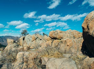
Climb at Shelf Road
4.41.5 mi / 400 ft gainShelf Road is secluded, rural, and has great climbing. There are so many areas to choose from and it has a great diversity of route levels (mostly sport routes). My personal favorite area is "The Gallery" and "The Bank." Everyone is friendly and gives each other a hand.Sand Gulch Campground, righ...Read more -
Evergreen, Colorado
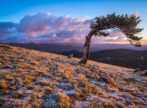
Photograph Ancient Bristlecone Pines on Mt. Goliath
5.0On the way to the summit of Mt. Evans sits a small 160 acre preserve of some of the world's oldest living trees. The Mount Goliath Natural Area protects a rare site of Bristlecone Pines that make excellent photographic subjects.Immediately after parking you're surrounded by a miniature forest ful...Read more -
Cañon City, Colorado
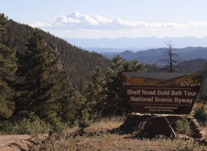
Shelf Road
5.0Shelf Road, which was once a toll road from Cripple Creek to Canon City, is now a maintained dirt road that most high clearance two wheel drive cars can make. It will take over an hour to travel the 25 miles or so, and it can be completed going from north to south or the opposite. I will explai...Read more -
Littleton, Colorado
Winter Hiking and Wildlife in Waterton Canyon
3.712.4 miWaterton Canyon is the beginning of the Colorado Trail which stretches 500 miles from Denver to Durango. Camping is allowed on the Colorado Trail but is not allowed in the first 6 miles section of Waterton Canyon, which is managed by Denver Water. The gravel road is great for running, biking, hi...Read more -
Frisco, Colorado
Hike to Mayflower Gulch
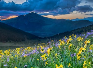
4.74 mi / 1000 ft gainGetting to the Mayflower Gulch is pretty easy, you can either hike an easy 2 mile forest road or drive all the way to end (you need decent clearance for the drive). At the end of the hike you are greeted with a stunning view of the Old Boston mining site. During the summer, wildflowers are abunda...Read more

