Walden, Colorado
Looking for the best hiking in Walden? We've got you covered with the top trails, trips, hiking, backpacking, camping and more around Walden. The detailed guides, photos, and reviews are all submitted by the Outbound community.
Top Hiking Spots in and near Walden
-
40.407117,-105.626146
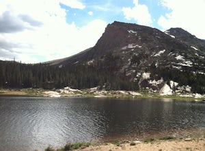
Hike to Lawn Lake, Rocky Mountain NP
12.9 mi / 2558 ft gainThis 4 to 8 hour day hike leads to Lawn Lake, located inside a large basin at tree line, and surrounded by Fairchild Mountain, Hagues Peak, and Mummy Mountain. Lawn Lake is among the largest subapline lakes in Rocky Mountain National Park. As you ascend into the sub-alpine zone, you will be gree...Read more -
Estes Park, Colorado
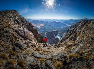
Hike The Mummy Kill (a.k.a. Mummy Mania)
14.31 mi / 5600 ft gainWanna kill some mummies!? Of course you do! Who doesn't? Mount Chapin: 12,454 feet; Mount Chiquita: 13,069 feet; Ypsilon Mountain: 13,514 feet; Fairchild Mountain: 13,502 feet; Hagues Peak: 13,560 feet; Mummy Mountain: 13,425 feet The Mummy Kill is the perfect all-day hike for those seasoned h...Read more -
Carbon County, Wyoming
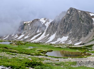
Hike to the Summit of Medicine Bow Peak
4.41.6 miMedicine Bow Peak (12,014ft) is the highest summit in the Snowy Range of Wyoming. There is a network of quality alpine trails leading around the mountain and up to the summit. Stop in at the Visitor Center in Centennial for a free map of the area and pick your route. Options exist from a direct 1...Read more -
Carbon County, Wyoming
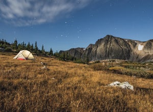
Backpack the Medicine Bow Peak Trail in the Snowy Range Mountains
7 mi / 1679 ft gainTake the Snowy Range Scenic Byway to Lake Marie trail head. Lake Marie trail head is the farthest west trailhead and parking area in the immediate Snowy Range Area. Parking in the lot there. I went on a Friday evening and there was one vehicle there. Double check you gear and tighten your hikin...Read more -
Allenspark, Colorado
Backpack to Lake Verna
5.013.5 mi / 2500 ft gainWant to get away it from it all and enjoy some high alpine lakes? The East Inlet Trail is just outside Grand Lake, on the westside of Rocky Mountain National Park, 2.35 miles east of Highway 34 on West Portal Road. From the trailhead, one can access 8 different campsites. The campsites are as ...Read more -
Allenspark, Colorado
Hike to Verna, Spirit, Fourth, and Fifth Lakes
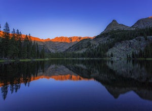
19 mi / 2460 ft gainThis summer backpacking trip provides plenty of opportunities for exploration and endless moments to take in awe-inspiring scenery. On our visit, after setting up camp at the Lake Verna backcountry site, I quickly made my way to the next lake (Spirit Lake) to photograph the sunset. The symmetry a...Read more -
Allenspark, Colorado
Hike to Spirit Lake
15.8 mi / 2000 ft gainOne can reach spirit lake as a day hike, however it is most often visited as part of backpacking trip. Either way the route is the same and it starts at the East Inlet trail. To park you are supposed to pay or show your park/national lands pass. From the East Inlet trailhead you will soon pass Ad...Read more -
Allenspark, Colorado
Hike to Adams Falls
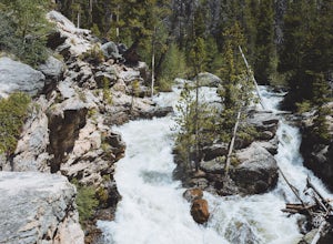
4.81 mi / 113 ft gainAdams Falls is one of the most popular hikes in the Grand Lake area, and one of the easiest. If you are just hiking to the falls, you will not need to bring much with you besides a camera, due to the distance. If you plan to venture past the falls, pack accordingly. Once you park in the trail...Read more -
Allenspark, Colorado
Hike to Lone Pine Lake (Grand Lake, CO)
5.010.44 mi / 1494 ft gainStarting at the East Inlet Trailhead, with an elevation of 8,391 feet, the trail is on a nice dirt path and you're immediately greeted with the sight of Adams Falls on your right, just 0.3 miles in. After continuing on after Adams Falls, the next 1.5 miles lead you out into the sunlight with brea...Read more -
40.387035,-105.610770
Rocky Mountain NP's Trail Ridge Road
4.939.06 miStart by entering Rocky Mountain National Park through Estes Park, Colorado. After acquiring a map start your ascent on Trail Ridge Rd (the road is closed in winter). The Road will take you up in elevation into the mountains so a good car is strongly recommended. As you wind up the switch backs,...Read more -
Estes Park, Colorado
Hike Deer Mountain
6.03 mi / 1200 ft gainBeginning in Rocky Mountain National Park near the Deer Ridge Junction (where US 34 & US 36 meet), park your car in one of the 20 spots on either side of the road. Start at the trailhead booth and head north, keeping to the right-side trail at the first intersection about a tenth of a mile fr...Read more -
Estes Park, Colorado
Camp at Aspenglen Campground
5.0Aspenglen is one of the four main campgrounds within the park boundaries. The campground is for car camping and there are areas just for tents and then broader areas for tents and campers. There are 53 sites at this campground and it fills up quickly each year. Reservations are available six mont...Read more -
Estes Park, Colorado
Hike along Tombstone Ridge
4.3 mi / 3250 ft gainTombstone ridge can be accessed via the ute trail from two directions. The lower trail starts at upper beaver meadows and is ~4.3 miles with 3250 feet of elevation gain. It can also be accessed at the Ute trail crossing along trail ridge road, which leaves you a 1.1 mile hike with just under 300 ...Read more -
Estes Park, Colorado
Backpack to Odessa Lake via Fern Lake Trailhead
4.09.65 mi / 1890 ft gainOdessa Lake seems to be one of the true hidden gems of Rocky Mountain National Park. Don't get me wrong, you will likely see some folks there, but it is a far cry from the other crowded Bear Lake trailhead lakes. There are two ways to reach Odessa; one, from the Bear Lake Trailhead, and the oth...Read more -
Livermore, Colorado
Mt. McConnel Summit Trail Loop
4.26 mi / 1453 ft gainThis 4.3-mile round trip hike gains 1300 feet of elevation before reaching the Mt. McConnel summit. The primitive trail is rated as difficult and has an ascent of many switchbacks, leading up to a wild flower-covered summit. The trail winds along the ridge line around 8,000 feet, offering panoram...Read more -
Centennial, Wyoming
Hike Sheep Lake Trail
6 mi / 1000 ft gainThere are a few ways to get you to Sheep Lake Trail, this particular one will take you to the trailhead via the Lewis Lake Trailhead near the picnic area. It makes it a longer hike, but trust, it's a beautiful one, and definitely not a hike you'll want to miss. The hike starts at an approximate e...Read more

