Ward, Colorado
Looking for the best photography in Ward? We've got you covered with the top trails, trips, hiking, backpacking, camping and more around Ward. The detailed guides, photos, and reviews are all submitted by the Outbound community.
Top Photography Spots in and near Ward
-
Dillon, Colorado
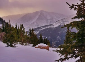
Snowshoe or Ski Watrous Gulch
4.04 mi / 1200 ft gainDespite sharing a trailhead with the popular Herman Gulch, I had not heard of Watrous Gulch until I stumbled across it while researching something else. Knowing that Herman Gulch is filled with spectacular views and deep snow ideal for snowshoeing/skiing, I had to discover if the smaller, lesser-...Read more -
Dillon, Colorado
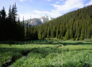
Wildflowers, Lakes, and Peaks, Oh My!
5.0Herman Gulch is one of those special places that makes you fall in love with Colorado all over again. This spectacular wildflower hike that ends at an alpine lake will have your head swiveling from start to finish. Wildflower season is July and August, with peak season being mid-to-late July. Ple...Read more -
Dillon, Colorado
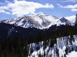
Backcountry Snowshoe and Ski Paradise
5.07 mi / 1700 ft gainA popular wildflower hike in summer, Herman Gulch is arguably even prettier covered in snow. The north-south trail offers views of the impressive Mount Sniktau to the south and Pettingell Peak to the north--with much to see along the way. Officially, the trail weaves in and out of the forest and ...Read more -
Loveland, Colorado
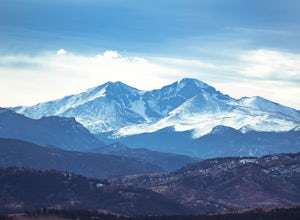
Climb Green Ridge in the Roosevelt National Forest
9.8 mi / 2400 ft gainGreen Ridge is a fantastic series of summits in the Front Range that make for excellence training hikes, but is often forgotten as it lies outside of the nearby Bobcat Ridge Natural Area and just inside of Roosevelt National Forest. The summit itself at 7,402' is fantastic, featuring a nearly 900...Read more -
Loveland, Colorado
Hike the Valley Loop Trail in the Bobcat Ridge Natural Area
4.4 mi / 500 ft gainThe Valley Loop Trail in the Bobcat Ridge Natural Area begins at the main entrance of the Natural Area, just off W County Road 32 C near Masonville, west of Fort Collins and the Horsetooth Reservoir.To get there take West County Road 38 E west from Fort Collins over and around the Horsetooth Rese...Read more -
Loveland, Colorado
Hike the D.R. Trail in the Bobcat Ridge Natural Area
3.76.2 mi / 1050 ft gainD.R. Trail, named for David Rice Pulliam who donated the land to create the Bobcat Ridge Natural Area, is a 3.1 mile spur off the Valley Loop Trail that climbs roughly 1,000' into Mahoney Park before it intersects with the Powerline and Ginny Trails. To get to the start of the trail, take the Val...Read more -
Loveland, Colorado
Hike the Powerline Trail in the Bobcat Ridge Natural Area
3.8 mi / 1100 ft gainPowerline Trail is a 1.9 mile spur off the Valley Loop Trail in the Bobcat Ridge Natural Area that climbs 1,100 feet from the valley floor to Mahoney Park.To get to the start of the trail, take the Valley Loop Trail .9 miles in the Bobcat Ridge Natural Area from the main entrance of the Natural A...Read more -
Silver Plume, Colorado
Grays and Torreys Peaks
4.37.97 mi / 3458 ft gainAt about an hour's drive from Denver, Grays Peak (14,270 ft./4338m) and its sister mountain, Torreys Peak (14,267 ft./4337m), are two of the most popular 14ers in the state. Because of this, a wealth of information is available on the internet. Rather than go into all the details of the technical...Read more -
Silver Plume, Colorado
Torrey's Peak via Kelso Ridge
5.05.79 mi / 2982 ft gainThe start of this route up the Kelso Ridge is the same as doing the standard route of Gray's and Torrey's peaks. From the trailhead cross the large metal bridge and continue on the great trail as it slowly climbs away from the parking lot and trailhead. This first section is not steep, but prov...Read more -
Silver Plume, Colorado
Grays Peak Trail
4.57.25 mi / 2995 ft gainThe first challenge you'll face on your way to the summit of Gray's peak is Steven's Gulch Road. My Corolla rolled up to the start of what I’ve seen described as a “4x4 road that should probably not be attempted in a low clearance vehicle”. But what the heck, it was late, and I didn't feel like w...Read more -
Evergreen, Colorado
Evergreen Mountain Loop
4.75.89 mi / 0 ft gainThe way up Evergreen Mountain is actually a few different trails stitched together throughout Alderfer/Three Sisters Park. The trail connects to both parking lots in the park, so if one is full you can just start from the other one, giving you lots of options for a quick day-hike. If you start ...Read more -
Lakewood, Colorado
Green Mountain Mountain Bike Loop
4.06.9 mi / 1047 ft gainSkip the bar and spend happy hour hiking/biking this fun and easy loop. With convenient access from the Denver-Metro Area, this spot is perfect for a quick ride after work, or hike with your dog. The park has three parking lots, and the trail can be completed as a loop system (in either directio...Read more -
Morrison, Colorado
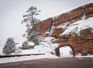
Explore Red Rocks Park in Winter
4.3Red Rocks is a bustling park in the summer when its famous amphitheater is filled with concerts. In winter though, the park dies down and becomes even more quiet when snow is falling. Grab your camera and head to the park during a winter storm to truly enjoy the beautiful red sandstone formations...Read more -
Evergreen, Colorado
Pence Park's Independence Mountain Trail
4.42.09 mi / 869 ft gainPence Park, part of the Denver Mountain Parks system, is nestled between the mountain communities of Indian Hills and Kittredge on Myers Gulch Road. It's one of those places I always drove right past without bothering to check it out. From the road, it looks the same as any other place in the foo...Read more -
Evergreen, Colorado
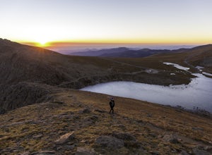
Mount Evans and Mount Spalding Loop
4.38.47 mi / 1706 ft gainMount Evans is a simple, yet drop dead gorgeous 14er. That being said, no 14er is easy by any means. However as far as 14er's go, this is a cake walk. Coming in at a rating of class 2, there tends to be some scrambling but nothing a well balanced person can't handle. To begin this adventure, we ...Read more -
Dillon, Colorado
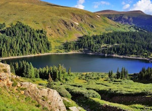
Silver Dollar Lake Trail
5.03.93 mi / 945 ft gainGuanella Pass, which connects the charming and historic town of Georgetown in the north to the blink-and-you’ll-miss-it Grant to the south, is a recreational outdoorsman’s dream. Volumes could be written on what this 22-mile scenic byway has to offer. Silver Dollar Lake Trail is just one tiny po...Read more

