Hampton, Connecticut
Looking for the best hiking in Hampton? We've got you covered with the top trails, trips, hiking, backpacking, camping and more around Hampton. The detailed guides, photos, and reviews are all submitted by the Outbound community.
Top Hiking Spots in and near Hampton
-
Berlin, Connecticut
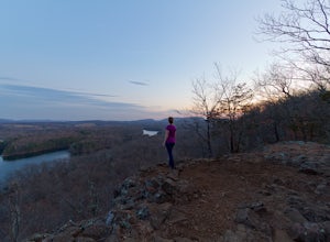
Hike the Ragged Mountain Memorial Preserve
4.55.5 mi / 560 ft gainRagged Mountain main loop is approximately 5.5 miles long, and is known for its expansive bare-rock vistas, vertical cliff faces, and scenic views overlooking cliff-side reservoirs and ponds. The trail is rated moderate, with some flat stretches among the trees, mixed with some uneven rocky foot...Read more -
Southington, Connecticut
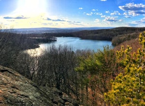
Hike the Crescent Lake & Metacomet Trail Loop
4.02.4 mi / 269 ft gainThe hike to view Crescent Lake is peaceful. You can either walk through the woods where you will be blessed with natures finest birds and wildlife or you can take the trail along the lake edge. Both are similar distances and lead to the same hill at the end! Once you get to the top take a left on...Read more -
Holyoke, Massachusetts
Whiting Street Reservoir Loop
3.74 mi / 138 ft gainWhiting Street Reservoir Loop is a loop trail that takes you by a lake located near Holyoke, Massachusetts.Read more -
Meriden, Connecticut
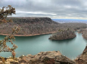
Hike the Metacomet, Blue, and Yellow Loop
5.04.5 mi / 976 ft gainStart from the Castle Craig road entrance. Walk until you're greeted by a beautiful reservoir. You'll notice the strange but beautiful Mine Island in the middle of all this. You'll also notice markers for White Trails and Yellow Trails. The White Trail is an easier/wider trail. The Yellow Trail C...Read more -
Ashland, Massachusetts
Hike the Ashland Reservoir Trail
5.03.2 mi / 68 ft gainPark in the lot on State Park Road (see map) to access the trail. It's a popular trail that is dog-friendly. Pay attention to the trail as at parts it is not well marked.Read more -
Granby, Connecticut
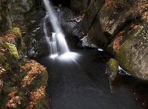
Hiking Enders Falls
4.0Enders State Forest sprawls over approximately 2000 acres, and is found within the towns of Granby and Barkhamsted in Connecticut. Enders has a good sized parking lot directly on Route 219. From the junction of Route 219 and Route 20, visitors will proceed west on Route 219 for 1.2 miles and tu...Read more -
Newport, Rhode Island
Take a Stroll on the Newport Cliff Walk
4.63.5 miThe 3.5 mile Cliff Walk is a National Recreation Trail in a National Historic District. I chose to start at the western end of Easton's or First Beach at Memorial Blvd. and walk south. The first two-thirds of the walk is very easy walking conditions. Parts of the southern half of the walk are...Read more -
New Shoreham, Rhode Island
Walk to North Lighthouse
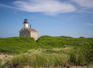
1 mi / 0 ft gainIn order to reach the Lighthouse you must walk along the trail that begins at the end of Corn Neck Rd. This walk is along the beach and then veers off to the left once you get closer to the light house (the seventh picture shows the start of the walk). It's only a half mile to the light house, bu...Read more -
Middletown, Rhode Island
Birdwatch at Sachuest Point
1.5 miA trip to Aquidneck Island would not be complete without a quick walk around Sachuest Point. I highly recommend this hike at sunrise, but any time of the day (or year) is great! This nature preserve is home to a large population of tourist-friendly deer, and is visited every winter by at least tw...Read more -
Marlborough, Massachusetts
Hemingway Street Trail
1.73 mi / 197 ft gainHemingway Street Trail is an out-and-back trail that provides a good opportunity to view wildlife located near Marlborough, Massachusetts.Read more -
New Shoreham, Rhode Island
Explore Block Island
5.0Block Island, a small island off the coast of the Rhode Island mainland, is well-known as a local summer playland. Tourists typically go to the quaint New England island in the summer months for the biking, hiking, sailing, kayaking, fishing and 17 miles of beaches.Although you can bring a car o...Read more -
Westminster, Massachusetts
Summit Mt. Wachusett via the West Side Trail
5.01.2 mi / 750 ft gainSet your GPS to Wachusett Mountain ski area. Coming from Rt. 2 turn onto Mile Hill Rd and look for your first right to take Bolton Rd. Take this road all the way until it intersects with West Princeton Rd. Turn left. and drive down W Princeton Rd for 1.2 miles and there should be a small parkin...Read more

