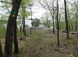
Naugatuck, Connecticut
Top Spots in and near Naugatuck
-
Franklin, Connecticut
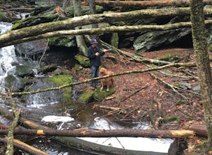
Hike Baileys Ravine at Ayer's Gap Preserve
1.6 mi / 314 ft gainIt's steep and rocky in the beginning but it levels out after a while! When standing in the parking lot, the trailhead is hidden! Look to the right. The trail ends on Ayer's Road so you have to walk back a little ways on the road.Read more -
Cortlandt, New York
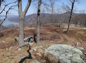
Hike the Camp Smith Trail
4.55.92 mi / 1759 ft gainThis approximately 3-hour hike borders the Hudson River, and is one of the best in Westchester County. Start off at the parking area at the Bear Mountain Tollhouse, or at a small parking area farther up Bear Mountain Road, if you want a slightly shorter hike. The trail is fairly steep in places, ...Read more -
Beacon, New York
Explore Long Dock and Dennings Point Parks
4.0Long Dock and Dennings Point are two of the most popular parks in Beacon, that just so happen to be connected by a train track turned trail. Plenty of parking is available at Long Dock, and its a perfect spot to picnic, launch your kayak into the Hudson, or cast your line hoping to reel in the bi...Read more -
Mansfield, Connecticut
Hike Nipmuck Trail
5.08.3 mi / 748 ft gainNipmuck Trail is a 8.3 mile out and back hike that takes you past wildlife located near Mansfield Center, Connecticut.Read more -
Mount Washington, Massachusetts
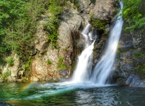
Explore Bash Bish Falls
4.21 miOne of my favorite walks to a spectacular falls. The trail is easy to follow and one mile from NY parking lot and 0.5 from the parking lot. The apparent place to swim. There are several very nice, family safe swimmable pools in the creek above and after the falls. There are signs at the top of t...Read more -
Philipstown, New York
Anthony's Nose via Appalachian Trail
4.61.95 mi / 682 ft gainParking for the trail runs along both sides of 9D right up until the Bear Mountain Bridge. It can be busy on the weekends so just make sure you're as far off the road as you can and be especially careful unloading kids and dogs. The trailhead is located at approximately 41.322571, -73.975949 and ...Read more -
Cornwall, New York
Storm King Mountain Loop
4.52.44 mi / 400 ft gainThis is an easy, yet very rewarding hike with a lot of viewpoints on the way up. Technically you scale up two mountains, Butter Hill and Storm King, but most people just describe it as Storm King Mountain. This is a great hike for families with younger kids, those who don't have much time but wan...Read more -
Cornwall, New York
Hike the North Point Loop
6.5 mi / 1400 ft gainThere is three different trailheads to access the North Point Loop. I chose the trailhead that would give me the longest hike. That would be the Butter Hill parking area on Route 9W north. From the parking lot, start on the connector trail designated with white markers. Follow this for about ...Read more -
Southampton, New York
Paddle Peconic Bay
4.0While there are many ways to access the Peconic Bay, I have found the best direction to explore is north west after launching and during the sunset. If you head to the public beach on Towd Point Rd. you can launch from there and make your way out toward Robins Island. Like most places the water i...Read more -
Rye, New York
Hike the Marshlands Conservancy Loop
4.01.55 mi / 125 ft gainLocated along the Long Island Sound, this 147-acre conservancy is home to a plethora of different birds, including marsh wrens, seaside sparrows, and American woodcocks. The conservancy has 3 miles of trails, all easy to navigate. Starting out from the visitor's center, take the trail to the rig...Read more -
Cornwall-on-Hudson, New York
Hike the Stillman - Bluebird Loop
5.4 mi / 1200 ft gainThis loop hike starts at the northern trailhead of the park where the Stillman Trail begins. The parking area has enough space for only 6 or 7 cars. Start off on a wide maintained carriage road. After about a half mile, the Stillman Trail (yellow markers) breaks of to the left. However, stay ...Read more

