Sharon, Connecticut
Looking for the best hiking in Sharon? We've got you covered with the top trails, trips, hiking, backpacking, camping and more around Sharon. The detailed guides, photos, and reviews are all submitted by the Outbound community.
Top Hiking Spots in and near Sharon
-
Haines Falls, New York
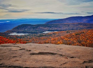
Summit North Mountain
4.56 mi / 855 ft gainHave you ever wanted to feel as if you were hiking two different locations at once? If so, then North Mountain is definitely somewhere to check out. Take the birch tree forests around Aspen, CO and pair it with the spruces/pines of the Adirondacks and you'll have this route in the Catskills.Parki...Read more -
Elka Park, New York
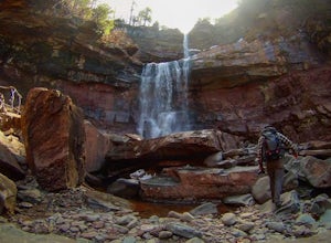
Layman's Monument and Kaaterskill Falls
3.05 mi / 892 ft gainLayman's Monument and Kaaterskill Falls is an out-and-back trail that takes you to one of New York's tallest waterfalls at 231 feet and to the historical monument for Frank D. Layman, who passed away in 1990 while fighting a forest fire. This trail is located near Haines Falls, New York.Read more -
Haines Falls, New York
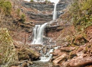
Kaaterskill Falls
4.52.57 mi / 719 ft gainAlthough this is a super short hike, it is definitely a tough one! The quick, steep climb is totally worth it once you reach the 260 foot cascade and pool at the end. Hike along the trail, hugging Spruce Creek all the way to the falls. If you hike in the spring, the creek and the falls will be ra...Read more -
3197 U.S. 44, New York
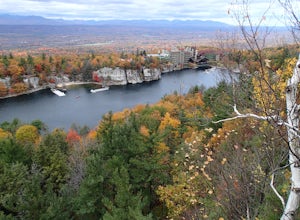
Hike to Sky Top via the Undercliff Road
7.3 mi / 900 ft gainStarting from the East Trapps parking area ascend the East Trapps connector trail marked with yellow blazes. You can also park at the Mohonk Preserve visitor center where you can purchase your access pass ($15 per person) and pick up a free map of the presere trails and carriage roads. The conn...Read more -
Gardiner, New York
Hike the Dickie Barre, Peters Kill and Awosting Falls Loop
3.07.8 miThis loop hike takes you to Awosting Falls (65 ft.), as well as to great valley views along the ridge of Dickie Barre, and across Peters Kill, on the way.Start out on West Trapps Connector Trail (yellow blazes) at the east end of the West Trapps parking lot (get their early because the lot will ...Read more -
Gardiner, New York
Hike The Millbrook Mountain Ridge Trail
5.07 mi / 1400 ft gainWant to walk on the edge? visit Millbrook Mountain in the Catskills of NY. This loops hike follows the mountains ridge line most of the way to the summit with multiple viewpoints and cliff ledges to walk out on. This hike is recommended those in the area.Park at West Trapps Parking Lot and head ...Read more -
Gardiner, New York
Hike the Overcliff - Undercliff Road Loop
5.3 mi / 350 ft gainFrom the West Trapps parking lot ($15 for hikers), walk to the end of the parking lot and past a large kiosk. The trail connects the parking lot to the Overcliff Road/Undercliff Road junction. The loop can be done in either direction. I turned left on the Overcliff Road. This takes you behind...Read more -
Beacon, New York
Sugarloaf Mountain via Wilkinson Memorial Trail
5.02.15 mi / 820 ft gainTrail is currently closed. Get updates at parks.ny.gov. Sugarloaf Mountain is part of the Hudson Highlands State Park, along with Breakneck Ridge, Bull Hill, and Mt Beacon. Though the views are just as impressive as its sister trails, it is never as crowded and it's one of my favorite spots in ...Read more -
Beacon, New York
Sunset Point - South Beacon Mountain Loop
4.08.92 mi / 2470 ft gainThis loop hike form the Notch Trail northern trailhead on Route 9D. There is enough parking at this trailhead for about 5-6 cars. The Notch Trail is identified with blue trail markers. It is well maintained and plenty of markers to guide your way. This is important because there are m...Read more -
Cold Spring, New York
Sugarloaf Mountain and Breakneck Ridge Loop
4.74.33 mi / 1562 ft gainThe Breakneck Ridge to Sugar Loaf Loop gives rise to various bypasses that offer hikers moderate to advanced terrain and multiple rock scrambles. The loop entails a total elevation gain of 1,670 feet and a total distance of 5.5 miles. The start of the trail begins at the (white blazes) at the no...Read more -
Cold Spring, New York
Breakneck Ridge Loop
5.05.91 mi / 1526 ft gainThis short but steep loop hike in Hudson Highlands State Park offers multiple panoramic views of the Hudson River along the way. Please note that only experienced hikers should attempt this route – although the hike seems short, the elevation gain and steep rocky scrambles offer serious technical...Read more -
Cold Spring, New York
Hike the Washburn/Nelsonville/Undercliff Loop
7.2 mi / 2000 ft gainThis is a difficult loop hike that has several different starting points. I chose to start at the Washburn Trail Head, which is the lowest starting point you can select. Nearly on the Hudson River, the trail ascends immediately along a well maintained road designated by white disc markers. Aft...Read more -
Cold Spring, New York
Hike the Cornish/Brook/Notch/Washburn/Undercliff Loop
8 mi / 1500 ft gainThis loop is a great option to avoid crowds on the west side of the Washburn trail. Start at the same trailhead for the Washburn Trail. The Cornish Trail is on the left and there is an obvious sign at the trail split a few feet from the parking area. The Cornish Trail is an old road from about...Read more -
Woodstock, New York
Sugarloaf Mountain via Blue Trail
6.54 mi / 2297 ft gainSugarloaf Mountain, is one the 35 highest peaks in New York's Catskills at 3806 ft. There are many ways to approach this peak, and this is an out-and-back hike via Mink Hollow. The parking area is located at the end of Milk Hollow Rd (42.10405386879072, -74.17148500019927). From here, get on the...Read more -
Cold Spring, New York
Photograph Indian Brook Falls
2.8This is about as short a walk and as little effort as you can put in for a beautiful waterfall. You can barely call it a hike, but I'll list it as such since you do walk through the woods for 5 minutes. The trail is extremely well built, and is pretty easily accessible through the winter.The trai...Read more -
Cold Spring, New York
Mt. Taurus (Bull Hill)
4.53.52 mi / 1375 ft gainMt. Taurus (or Bull Hill) is a short, family and dog friendly, hike just outside the town of Cold Spring, easily accessible by car or taking the train into town. It snakes along the edge of an old quarry that is just now being retaken by nature and provides lookouts towards the Hudson, other near...Read more

