LaFayette, Georgia
Looking for the best photography in LaFayette? We've got you covered with the top trails, trips, hiking, backpacking, camping and more around LaFayette. The detailed guides, photos, and reviews are all submitted by the Outbound community.
Top Photography Spots in and near LaFayette
-
Chatsworth, Georgia
Hike the Gahuti Trail
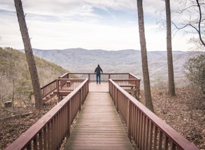
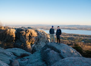
4.08.1 mi / 1223 ft gainFort Mountain rises prominently from the plateau to the West, serving as the start of the Blue Ridge Mountain range in Georgia. The Gahuti Backcountry Trail circumnavigates the mountain, with several overlooks with views in all directions. At 8.1 miles, this hike is moderately difficult, but can...Read more -
Chatsworth, Georgia
Emery Creek Falls
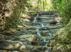
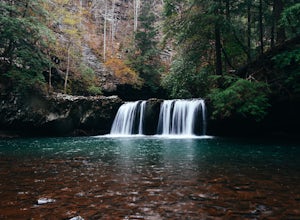
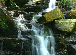
5.05.9 mi / 833 ft gainThe hike to the five waterfalls on the Emery Creek trail is one of the most spectacular hikes in Georgia. This trail is moderate in climb, yet secluded in the Cohutta Wilderness and challenging enough to keep crowds away. Two things to note about this trail: it is wet (there are 20 creek crossing...Read more -
Soddy-Daisy, Tennessee
Hike the Hogskin Loop to Stripmine Falls
2.51.3 miStripmine Falls is not the biggest waterfall in the area, but it is both beautiful and accessible with just a short and easy out-and-back (or loop) hike. The additional attraction of cool swimming pools along Chickamauga creek make this an ideal destination for a day full of relaxation and adven...Read more -
Soddy-Daisy, Tennessee
Hike the Hogskin Upper and Lower Loop
5.01.4 miAfter an easy 25 minute drive from Chattanooga you will reach North Chickamauga Gorge on Montlake Road in Soddy Daisy. Park any where in the gravel loop just make sure other cars can get through. From the Montlake Road Trailhead Kiosk the trail begins on an old mining road. Hogskin Upper Loop Tr...Read more -
Ellijay, Georgia
Hike the Tumbling Waters Trail
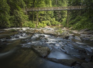
5.01.3 mi / 160 ft gainJust North of Carters Lake lies one of its tributaries, Tails Creek. The Tumbling Waters Trail follows along a scenic stretch of this creek as it cascades its way towards the lake. This trail is moderately trafficked and considered a local favorite. The Tumbling Waters trailhead also contains a...Read more -
Scottsboro, Alabama
Explore Tumbling Rock Cave
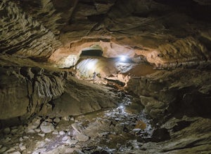
5.02.4 mi / 200 ft gainAs Tumbling Rock Cave is a private property owned and controlled by SCCI, a permit is required to access the cave. Permits can only be applied for online here, and once granted, SCCI will provide the exact location of the cave. Caving is not only an inherently dangerous activity due to difficul...Read more -
Copperhill, Tennessee
Hike the Beech Bottom Trail to Jacks River Falls
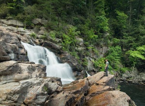
5.09 mi / 315 ft gainJacks River Falls is one of Georgia's most impressive waterfalls. Containing several cascades that combine to an 80 foot waterfall, this destination provides spectacular views and refreshing pools to take a dip in. You can approach the falls from either Jacks River Falls trail or the Beech Bott...Read more -
Tracy City, Tennessee
Sycamore Falls
4.52.18 mi / 236 ft gainSycamore Falls is located in the Fiery Gizzard region of South Cumberland State Park. The trailhead is located just past Tracy City Elementary School on Fiery Gizzard Road. There is a large parking lot with restrooms at the trailhead. Start your hike at the south end of the parking lot. This ...Read more -
Benton, Tennessee
Watch the Sunset from Sugarloaf Overlook
The overlook is easily accessible from a parking circle located off Oswald Road. Follow U.S. Highway from Ocoee, Tennessee for 8 miles then turn left onto Oswald Road. Follow Oswald Road for 2.5 miles until you encounter the overlook on your left. The overlook will be clearly marked with signage....Read more -
Benton, Tennessee
Take in the View at Chilhowee Overlook
5.0Catch the sunset, bring friends and a picnic, or gaze at the stars from this classic Tennessee overlook! To reach Chilhowee Overlook, follow U.S. Highway from Ocoee, Tennessee for 8 miles then turn left onto Oswald Road. Follow Oswald Road for 3.75 miles until you encounter the overlook on your r...Read more -
Leesburg, Alabama
Camp at Sand Rock
5.01 mi / -100 ft gainWe camped in a rooftop tent, but many people used traditional tents and hammocks. After purchasing a camping permit, drive right up to your campsite. There are three general camping areas.First is the more exposed (to the often strong winds) campsites along the tops of the cliffs that are closest...Read more -
Leesburg, Alabama
Climb Sand Rock
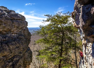
4.5Sand Rock is a unique set of rock outcropping that erupts from Shinbone Ridge overlooking scenic Lake Weiss. The climbable rock runs for about a quarter of a mile along the ridge and is a maze of trails, small caves and literally wall-to-wall climbing.You can find just about any climb to satisfy...Read more -
Cartersville, Georgia
Pine Mountain Loop
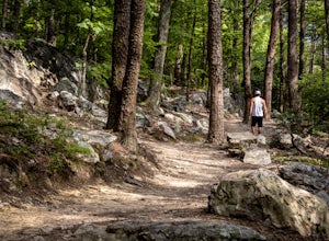
4.62.11 mi / 597 ft gainThe Pine Mountain Trail winds and climbs its way to awesome summit views, along massive granite outcrops and serene forest. Hike over wooden bridges, across sparkling streams, past misty waterfalls & rock outcroppings, varied forest, scenic overlooks, & leaping deer. This local gem is tuc...Read more -
Reliance, Tennessee
Hike the Scenic Spur Trail
5.03.9 mi / 426 ft gainVery little elevation gain leads to an easy hike along a river right outside of the Ocoee river region. First .7 miles is very flat, then leads to some slight elevation gain but nothing too serious. This trail traverses through the lush forest for a short distance when you come across a small cre...Read more -
Estillfork, Alabama
Walls of Jericho via Alabama Trailhead
4.05.8 mi / 1417 ft gainAround 5pm, we hiked down the only clearly marked trail that departs from the parking lot. The path begins with gentle switchbacks and great views of the forest, occasionally passing by small waterfalls, sinkholes, and caves; and arriving at the Hurricane Creek crossing (log with handrail) after ...Read more

