Pāhoa, Hawaii
Top Spots in and near Pāhoa
-
Pāhoa, Hawaii
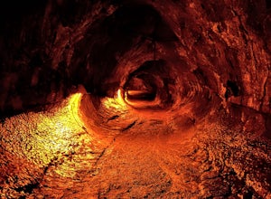
Thurston Lava Tube Trail
4.50.46 mi / 66 ft gainThurston Lava Tube Trail is a loop trail where you may see beautiful wildflowers located near Pahala, Hawaii, Hawaii.Read more -
Pāhoa, Hawaii
Hike The Kilauea Iki Trail
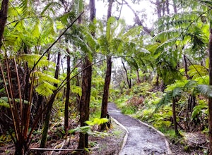
5.03.23 mi / 472 ft gainThe trail begins at the Kīlauea Iki parking lot on Crater Rim Drive. You may go either way from the trailhead. Going left will take you to the Thurston Lava Tube parking lot and then down to the floor of Kīlauea Iki. Going right will take hikers through the rain forest on the crater rim and down ...Read more -
Mountain View, Hawaii
Drive Chain of Craters Road
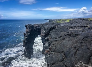
5.037.6 miStarting at the Kilauea Visitor Center, this 18.8 mile drive begins its 3,700 foot elevation change by meandering through the rainforest. Follow signs from the visitor center (near the entrance of the park) to Crater Rim Drive. Chain of Craters Road begins off of Crater Rim Drive, 3.3 miles south...Read more -
Pāhoa, Hawaii
Halema'uma'u Steam Bluff and Sulfur Banks
4.01.42 mi / 92 ft gainHalema'uma'u Steam Bluff and Sulfur Banks Trail is a loop hike that takes you by a hot springs located near Volcano, Hawaii, Hawaii.Read more -
Pāhoa, Hawaii
Halema‘uma‘u Trail
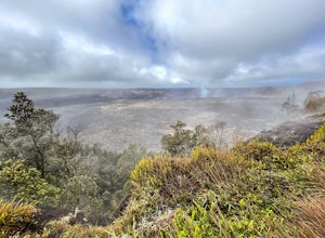
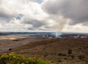
3.50.92 mi / 36 ft gainEveryone knows that Hawaii was formed from a series of volcanoes over millions of years. But did you know that you can experience one of them up close? Well, as close as you can while staying safe, obviously. The Halema'uma'u Crater has been active since 2008 when the vent first erupted. Since t...Read more -
Pāhoa, Hawaii
Bike to the Kalapana Lava Flow
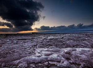
4.09.85 mi / 341 ft gainWhen we chose to visit the volcanic big island of Hawaii, we knew that seeing an active lava flow was a must do. We decided to go at sunset and into the evening, as the lava flow would be spectacular under the dark night sky - we were right. Start by driving to Kalapana, south of Hilo, on the e...Read more -
12-7194 Kalapana - Kapoho Road, Hawaii
Swim at Kehena Black Sand Beach
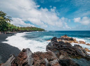
5.0This beach lives up to Hawaii’s stunning fame. You can park in the curved area that is set away from the road, or along the street. Follow the little signs down the trail to the beach. It’s a bit of a scamper down some lava rocks to get there, so be careful. A highlight of this beach is that it ...Read more -
Rainbow Falls, Hawaii
Explore Rainbow Falls
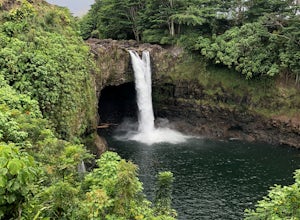
4.50.1 mi / 0 ft gainRainbow Falls is a gorgeous and easily accessible pull-off from Highway 11. This is not really a hike - just a short walk from the parking lot to a gorgeous 80 foot waterfall (making this fun for all ages!). Hit up Cafe Pesto in Hilo for a meal after. If you want to learn about the mythology sur...Read more -
Hilo, Hawaii
Run at Liliʻuokalani Park and Gardens
1 miWithin walking distance of downtown Hilo, jog around Liliʻuokalani Park and Gardens for beautiful views of Mauna Kea, the Pacific, and Eastern art! A loop around the park, including Coconut Island, is approximately 1 mile. On your jog, you will see lots of people walking and running in addition t...Read more -
Hilo, Hawaii
Swim at Carlsmith Beach
5.0A beautiful beach for swimming less than 10 minutes from downtown Hilo! Because Hilo is more rocky and jungly than the western side of the island, this beach is more of a swimming hole than a traditional beach. Carlsmith is also frequented by big turtles (like the ones in Finding Nemo!), but plea...Read more -
Hilo, Hawaii
Surf at Honoli'i Beach
Honoli'i Beach Park is a favorite spot among locals for surfing, especially if you are a good surfer! Park along the street and walk down the stairs to the shower area. To the left leads to the black sand beach where surfers will leave from, but if you are just looking to hangout, you can also go...Read more -
Pepeekeo, Hawaii
Explore the Old Mamalahoa Hwy
5.03 miRunning or biking on Old Mamalahoa Hwy is a treasure! The path is marked as a 'Scenic Drive' but you can park your car along the way and run, or bike through. This area is north of Hilo's downtown so you'll follow Mamalahoa Hwy north (the only highway that goes around the north side of the island...Read more -
Hawaii County, Hawaii
Hike Mauna Kea via Humuula Trail
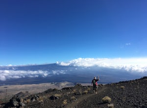
12 mi / 4800 ft gainMauna Kea is one of the volcanoes that helped form the Big Island of Hawai’i. However, its last eruption was around 2600 BC. Mauna Kea sits at an elevation of 13,796ft above sea level making it the second highest mountain I’ve hiked as I write this post – just shy of Mt Whitney. Interestingly, mo...Read more -
Hawaii County, Hawaii
Catch a Sunset and Stargaze at Mauna Kea's Summit
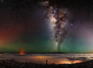
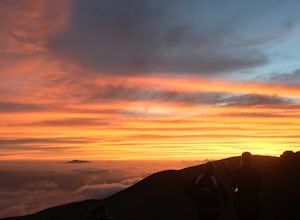
4.6While you can drive right to the summit of Mauna Kea on the 14 mile access road, the last 7 miles are on a very bumpy dirt road, so make sure your vehicle has plenty of clearance and good tires. All wheel drive will help a lot.The drive up is amazing itself. Usually there is some fog lingering ar...Read more

