Andover, Massachusetts
Top Spots in and near Andover
-
Rollinsford, New Hampshire
Scoutland Road Trail
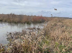
4.03.88 mi / 108 ft gainScoutland Road Trail is an out-and-back trail where you may see beautiful wildflowers located near Rollinsford, New Hampshire.Read more -
York, Maine
Photograph Nubble Lighthouse
4.8Officially named Cape Neddick Light, though more commonly known as Nubble Light, this lighthouse is part of the National Register of Historic Places and is a local favorite for photography. The lighthouse park is located just over the New Hampshire / Maine state line in New England, in York, ME....Read more -
Hanson, Massachusetts
Burrage Pond Indian Trail
5.03.39 mi / 194 ft gainBurrage Pond Indian Trail is an out-and-back trail where you may see beautiful wildflowers located near Hanson, Massachusetts.Read more -
Concord, New Hampshire
Hike to the Oak Hill Fire Tower
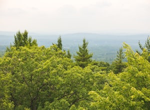
4.03 mi / 500 ft gainClimbing to the Fire Tower on Oak Hill is a great urban adventure, short enough for a lunch break trail run or a morning hike with the family. The trail is primarily wooded, with a panoramic view from the Fire Tower for those brave enough to ascend it's wooden steps.Park at the well signed dirt l...Read more -
Sutton, Massachusetts
Hike the Purgatory Chasm Trail
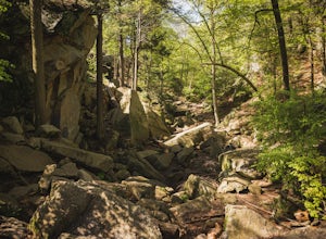
4.71 mi / 115 ft gainFor this 1-mile hike, you can park at the Purgatory Chasm Visitor Center. From there hit the trail and explore the unusual gap between the tall granite walls, which might be adorned with climbers. Great for all ages and dogs are welcome too. The trail is open March-November.Read more -
Ogunquit, Maine
Watch the Sunrise from the Marginal Way Trail
5.02 mi / 70 ft gainPark near the Oceanside Oarweed restaurant or any other public spots on the cove's peninsula. Marginal Way is a nicely paved 1.25 mile out and back path, perfect for a morning walk or run on the rocky coast. Catch fishermen, lobstermen, and recreational boats as they leave, or choose to sit at on...Read more -
Blackstone, Massachusetts
Hike the Blackstone Gorge Trail
5.00.7 mi / 72 ft gainPark at the lot at the corner of Staples Lane and County Street. From here you can access the Blackstone Gorge Trail. Dogs are allowed on leash, and you can enjoy various paths along the river or through the forest. At multiple points you can find yourself looking down at the Blackstone River fro...Read more -
Jaffrey, New Hampshire
Mount Monadnock via White Dot & White Cross Loop
4.53.7 mi / 1686 ft gainThe White Dot Trail is the shortest, steepest ascent to the summit, while White Cross has a slightly easier grade down with very little difference in distance. Therefore, per the park's rangers, the best way to conquer this loop is White Dot up, White Cross down.The White Dot Trail begins at Mon...Read more -
Jaffrey, New Hampshire
Mount Monadnock via White Dot Trail
4.43.46 mi / 1699 ft gainMonadnock State Park is located in and around the 3,165-ft. Mount Monadnock. Mount Monadnock is crisscrossed by many miles of well-maintained hiking trails. The popular White Dot Trail (2.2 miles) is the shortest but steepest ascent to the summit, accessible from the Monadnock State Park headquar...Read more


