Taunton, Massachusetts
Top Spots in and near Taunton
-
Newport, Rhode Island
Take a Stroll on the Newport Cliff Walk
4.63.5 miThe 3.5 mile Cliff Walk is a National Recreation Trail in a National Historic District. I chose to start at the western end of Easton's or First Beach at Memorial Blvd. and walk south. The first two-thirds of the walk is very easy walking conditions. Parts of the southern half of the walk are...Read more -
Ashland, Massachusetts
Hike the Ashland Reservoir Trail
5.03.2 mi / 68 ft gainPark in the lot on State Park Road (see map) to access the trail. It's a popular trail that is dog-friendly. Pay attention to the trail as at parts it is not well marked.Read more -
Boston, Massachusetts
Freedom Trail
4.72.9 mi / 121 ft gainPark along the trail and then hop on. The Freedom Trail allows you to not only see the most beautiful parts of Boston (which is an absolutely gorgeous city) but you can learn some history too! Head off the trail a bit to explore the Charles River, the waterfront near the aquarium and picturesque ...Read more -
Cambridge, Massachusetts
Bike or Run on the Charles River Path
5.010 miThe Charles River Path becomes a center of activity in Boston, especially during the summer, and you can run (or bike) it! It is a paved pathway that travels along both sides of the Charles River from the North End of the city to Allston and beyond. There are several bridges along the way with pe...Read more -
Newport, Rhode Island
Drive the Ocean Drive Historic District
5.010 miThis drive encompasses all that is Newport, RI. Known for its rocky shores and numerous sea-side mansions, this drive allows you to both view it all from the safety of your car, and has several spots to pull off to get out and get a better view. There are grassy park areas as well that are perf...Read more -
Newport, Rhode Island
Explore the Castle Hill Lighthouse
4.8Park at the Castle Hill Cove Marina and walk across the street. Follow the sidewalk left and you will see a small sign that states "Castle Hill Lighthouse" on your right. Follow the short well beaten path to the lighthouse. You will hear the waves crashing and smell the fresh ocean air. The li...Read more -
Jamestown, Rhode Island
Explore Beavertail State Park
5.0Rhode Island isn't exactly on everyone's map, I've even met strangers in other parts of the U.S. who have no idea where the tiniest state in the country is. It's usually lumped in with Connecticut and Massachusetts, but for us locals from little Rhody, Rhode Island is it's own world of adventure ...Read more -
Sutton, Massachusetts
Hike the Purgatory Chasm Trail
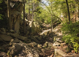
4.71 mi / 115 ft gainFor this 1-mile hike, you can park at the Purgatory Chasm Visitor Center. From there hit the trail and explore the unusual gap between the tall granite walls, which might be adorned with climbers. Great for all ages and dogs are welcome too. The trail is open March-November.Read more -
Douglas, Massachusetts
Hike the Coffeehouse Loop, Douglas State Forest
3.02.2 mi / 500 ft gainDouglas State Forest is located off of Rte 16 in south central Massachusetts. To access trails and the lake, head to the parking area on Wallum Lake Park Road. From the parking lot, you can access the Coffeehouse Loop Trail, as well as a few other shorter trails by the lake. The Coffeehouse Loop ...Read more -
Medford, Massachusetts
Hike Southern Middlesex Fells Loop
4.73.5 mi / 756 ft gainPark in the parking area near Bellevue Pond. There are multiple entrances to the reservation (some closer to the reservoir itself than others). I have spent days in there hiking around and never seeing the water and there are days when I just hiked right in to the water and sat and enjoyed it. Th...Read more -
West Tisbury, Massachusetts
Photograph Lambert's Cove
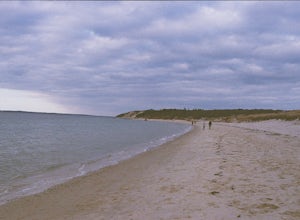
While there are a number of beaches on Martha's Vineyard, many of the more well known and popular ones can easily get over crowded. The less widely known Lambert's Cove, however, is a gem that will not disappoint. To access Lambert's Cove in the summer season, you'll need to get or borrow a pas...Read more -
Marlborough, Massachusetts
Hemingway Street Trail
1.73 mi / 197 ft gainHemingway Street Trail is an out-and-back trail that provides a good opportunity to view wildlife located near Marlborough, Massachusetts.Read more -
Concord, Massachusetts
Hike around Walden Pond
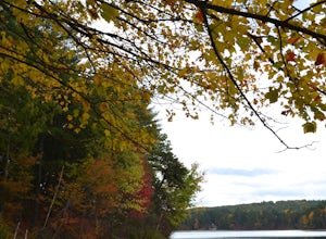
4.51.69 mi / 45 ft gainPark in the lot ($8 for MA residents) by Walden Pond to access the trail, and head out either direction on the loop around the pond. Trail is accessible from April-October.Read more -
West Greenwich, Rhode Island
Stepstone Falls via Ben Utter Trail
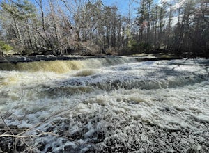
5.02.64 mi / 125 ft gainStepstone Falls via Ben Utter Trail is an out-and-back trail that takes you by a waterfall located near West Greenwich, Rhode Island.Read more -
Chilmark, Massachusetts
Menemsha Hills Reservation Loop
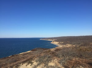
5.02.98 mi / 344 ft gainGPS service in densely wooded areas on the Vineyard is hard to come by, so plugging in Menemsha Hills Reservation before getting on the road is advised. Traveling down N Road, you'll find an unmarked gravel road located between Turtle Cove and Trustees Lane. A short 400 meter drive will take you ...Read more -
Acton, Massachusetts
Hike the Pratt's Brook Conservation Area Loop
4.01.5 mi / 85 ft gainPark in the small parking area right before the trailhead. *Notice this parking area is small and only fits about 3-4 cars so prepare to find street parking on a busy day. You can punch in the coordinates to a GPS if you need help finding it: 42.4545482, -71.4358192. The loop is very diverse wit...Read more


