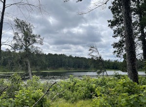
The Best Hiking in Onamia
Looking for the best hiking in Onamia? We've got you covered with the top trails, trips, hiking, backpacking, camping and more around Onamia. The detailed guides, photos, and reviews are all submitted by the Outbound community.
Top hiking spots in and near Onamia
-
Onamia, Minnesota
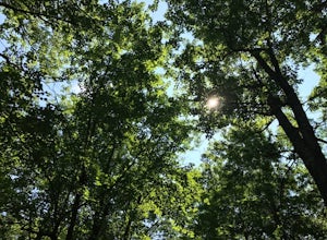
Hike the Minnesota Hiking Club Trail in Mille Lacs Kathio
3.2 miTucked away in the trees next to the popular Lake Mille Lacs and roughly 90 minutes from Minneapolis, MN, lies Mille Lacs Kathio State Park. Of great importance to the Native American tribes that originally inhabited the area, this park is a wooded oasis from the big city. With 35 miles of wood...Read more -
Onamia, Minnesota
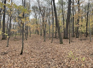
Mille Lacs Loop
5.1 mi / 305 ft gainMille Lacs Loop is a loop trail that takes you by a river located near Onamia, Minnesota.Read more -
Wahkon, Minnesota
Mile Lacs Lake Loop from Father Hennepin State Park Campgroung
2.01 mi / 98 ft gainMile Lacs Lake Loop from Father Hennepin State Park Campgroung is a loop trail that takes you by a lake located near Isle, Minnesota.Read more -
Mora, Minnesota
Moraloppet Trail
3.14 mi / 266 ft gainMoraloppet Trail is a loop trail that takes you through a nice forest located near Mora, Minnesota.Read more -
Ironton, Minnesota
Easy Street, Little Sidewinder, Sand Hog Mountain and Sidewinder Loop
6.53 mi / 778 ft gainEasy Street, Little Sidewinder, Sand Hog Mountain and Sidewinder Loop is a loop trail that takes you by a lake located near Ironton, Minnesota.Read more -
Baxter, Minnesota
Northland Arboretum
3.2 mi / 210 ft gainNorthland Arboretum is a loop trail where you may see beautiful wildflowers located near Baxter, Minnesota.Read more -
Royalton, Minnesota
Lake Woebegon Regional Trail
22.52 mi / 243 ft gainLake Woebegon Regional Trail is a point-to-point trail that takes you through a nice forest located near Royalton, Minnesota.Read more -
Askov, Minnesota
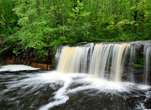
Hike to Wolf Creek Falls
3.81.2 miJust off of Highway 35 near Sandstone, Minnesota, Banning State Park provides several areas to explore including the Kettle River, Historic Sandstone Quarry, and my favorite - Wolf Creek Falls.While the Kettle River is a popular attraction for hikers as well as kayakers, the scenic hike to Wolf C...Read more -
Sandstone, Minnesota
Wolf Creek Falls Trail
1.62 mi / 164 ft gainWolf Creek Falls Trail is an out-and-back trail that takes you by a waterfall located near Sandstone, Minnesota.Read more -
Askov, Minnesota
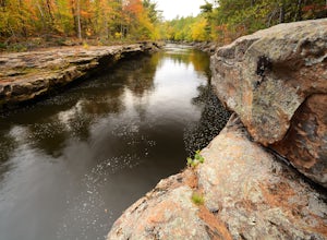
Hike the Quarry Loop Trail
5.02.4 mi / 40 ft gainThe Quarry Loop is an easy hike in Banning State Park, which draws its name from the abandoned sandstone quarry you pass along the way. The trail's rival attraction is the whitewater of the Kettle River, visible as you hike, including the Blueberry Slide, Mother's Delight, and Dragon's Tooth rapi...Read more -
Askov, Minnesota
Kettle River: Banning State Park to Old Dam Site
3.96 mi / 449 ft gainKettle River: Banning State Park to Old Dam Site is a loop trail that takes you by a river located near Finlayson, Minnesota.Read more -
Cambridge, Minnesota
Rum River Trail
2.6 mi / 272 ft gainRum River Trail is an out-and-back trail that takes you by a river located near Cambridge, Minnesota.Read more -
Askov, Minnesota
Banning Quarry Loop Trail
2.53 mi / 102 ft gainBanning Quarry Loop Trail is a loop trail that takes you by a river located near Sandstone, Minnesota.Read more -
St. Cloud, Minnesota
Jail Trail: North Loop
2.93 mi / 272 ft gainJail Trail: North Loop is a loop trail where you may see local wildlife located near St. Cloud, Minnesota.Read more -
St. Cloud, Minnesota
Beaver Island Trail
4.29 mi / 102 ft gainBeaver Island Trail is an out-and-back trail that provides a good opportunity to view wildlife located near St. Cloud, Minnesota.Read more -
Pine City, Minnesota
Kettle River Highbanks Trail
5.01 mi / 305 ft gainKettle River Highbanks Trail is an out-and-back trail that takes you by a river located near Brook Park, Minnesota.Read more