Carson City, Nevada
Looking for the best fitness in Carson City? We've got you covered with the top trails, trips, hiking, backpacking, camping and more around Carson City. The detailed guides, photos, and reviews are all submitted by the Outbound community.
Top Fitness Spots in and near Carson City
-
Tahoe City, California
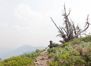
Hike the Ellis Peak Trail
5.06.3 mi / 1660 ft gainThe Ellis Peak Trail is close to North Lake Tahoe. The trail features scenic wildflowers in the spring and summer. Dogs are allowed on the trail but must be kept on leash. Directions from Truckee: Take Highway 80 south and drive to Tahoe City - continue south on Highway 89 from Tahoe City for 4....Read more -
Echo Lake, California
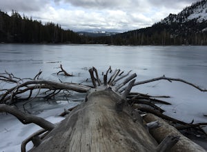
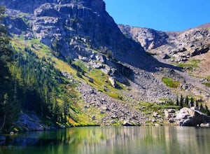
Hike the Echo Lake Trail
4.05 mi / 688 ft gainThe Echo Lakes Trail goes through California's Desolation Wilderness and features incredible views. This trail is rated as moderate, and is best for excited beginners or intermediate hikers. This hike takes roughly 3.5-4 hours. Dogs are allowed on trail if kept on leash. The trail is best used fr...Read more -
Twin Bridges, California
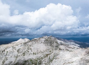
Hike Pyramid Peak via Rocky Canyon
5.07.4 mi / 4100 ft gainPyramid Peak is the tallest peak in the Crystal Range and the Desolation Wilderness, just west of Lake Tahoe. On a clear day it can be seen from the Bay Area over 150 miles away. Named for its distinct shape, Pyramid a massive heap of glaciated granite slabs and talus, and the Rocky Canyon route ...Read more -
Soda Springs, California
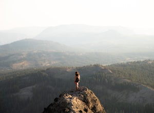
Summit Castle Peak
4.06 mi / 1800 ft gainThe trailhead is very easy to access as it is just off Highway 80 at the Boreal Mountain exit. When taking the exit, take a turn to the North, rather than to Boreal on the South side of the Highway. On busy summer weekends this trailhead can get quite crowded so you may have to park at the bottom...Read more -
Markleeville, California
Caples Lake to Emigrant Lake
5.08.71 mi / 971 ft gainThis is an awesome out-and-back hike for the weekend warrior. The trail begins at the western-most point of Caples Lake, and takes you to Emigrant Lake. The first 2/3 of the trail is rather flat and appropriate for all skill levels. The last mile up to the lake schleps up the hill, and has some ...Read more -
Amador County, California
Hike to Thunder Mountain at Carson Pass
7 miThe trailhead begins on Rt 88 just past Kirkwood Resort or Silver Lake - depending on which way you are headed. There is plenty of parking but no other amenities. The trail begins at 7,900 ft and climbs steadily up Two Sentinels then along the ridge to Martins Point, ending at the 9,408ft summit ...Read more -
Emigrant Gap, California
33mi Loop to Donner Lake
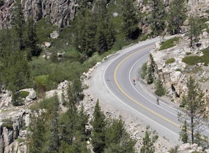
33 miWe love this 33-mile loop on old Highway 40 from Cisco Grove to Donner Lake and back. It has just about everything: a few flats, a long slow pull, rollers, a screaming downhill, a tough Alpine climb and a long, cruising downhill. Not to mention altitude. The ride starts at a little above 6,000 fe...Read more -
Arnold, California
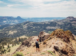
Climb Peep Sight Peak in the Carson-Iceberg Wilderness
7 mi / 1800 ft gainPeep Sight Peak in the Carson-Iceberg Wilderness off Highway 4 provides solitude and wonderful views of the surrounding Sierra Nevada including the Mokelumnee and Emigrant Wildernesses. Even on summer weekends you'll likely have the peak and surrounding area all to yourself. Peep Sight Peak can b...Read more

