Gardnerville, Nevada
Top Spots in and near Gardnerville
-
Reno, Nevada
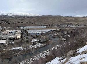
West Plateau Loop
3.03.15 mi / 312 ft gainWest Plateau Loop is a loop trail that takes you by a river located near Reno, Nevada.Read more -
39.333252,-120.289482
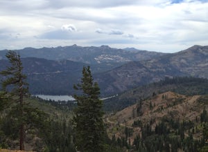
Donner Lake Rim Trail: Johnson Canyon to Trout Creek
A perfect Sunday hike on your way back from a weekend at Lake Tahoe. Exit I-80 at Donner Lake and take the dirt road on the north side of I-80 to a large parking lot. A mild climb followed by a set of tougher switchbacks leads you to great views from Donner Ridge. Although adventuring out on t...Read more -
Reno, Nevada
Dorostkar Park Nature Trail
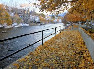
3.01.48 mi / 39 ft gainDorostkar Park Nature Trail is a loop trail that takes you by a river located near Reno, Nevada.Read more -
Truckee, California
Mt. Judah Loop Trail
5.05.5 mi / 1700 ft gainA wonderful hike in Lake Tahoe is the Mt. Judah Loop Trail that offers sweeping views of Donner Lake and the surrounding Sierra Nevada mountains on the North Shore. As a resident on the North Shore, many of my recreational activities favor this side of the Lake but there are marvelous hikes in ...Read more -
Truckee, California
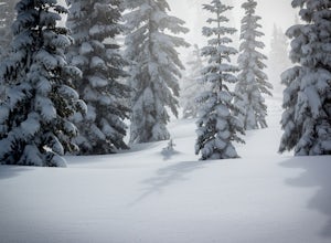
Cross-Country Ski to Drifter Hut
3.09.6 mi / 980 ft gainSet out from the Tahoe Donner Cross Country center in Truckee at 6,650 feet elevation. Day passes range from $12 to $34, depending on time of day and skier age, and provide access to over 100 kilometers of groomed trails. Leaving the day lodge, there are multiple options for skiing up to Drifter ...Read more -
Reno, Nevada
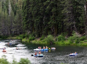
A Lazy (Fun) Float Down the River
4.5Start your day by heading to Tahoe City where the East and North Shores of Lake Tahoe meet. Be sure to grab supplies along the way including drinks, picnic lunch, sunscreen, coolers, floating devices (if you aren’t interested in renting) and maybe even some super soakers if you are planning to ...Read more -
Truckee, California
Hike the Truckee Tunnels
5.0To get here, drive along Donner Pass Rd. There is a turnoff about 100 yards away from the Donner Summit Bridge where you can park. The hike begins at a plaque for the China Wall- a large retaining wall built by Chinese railroad workers. Hike up the trail towards the tunnels. Some spots may requi...Read more -
Reno, Nevada
Oxbow Nature Study Area Nature Trail
4.00.77 mi / 23 ft gainOxbow Nature Study Area Nature Trail is a loop trail that takes you by a river located near Reno, Nevada.Read more -
Reno, Nevada
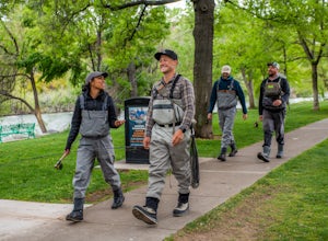
Fly Fish the Truckee River from Wingfield Park
At just 121 miles long from Lake Tahoe to Pyramid Lake, the Truckee River continues to produce the largest trout in the Lower 48. Fly fisherman commonly divide the river into two reaches – East & West, and there is excellent fishing to be found right in downtown Reno all along the Truckee and...Read more -
Reno, Nevada
Truckee River Pathway: Downtown to Dorostkar Park
4.04.42 mi / 220 ft gainTruckee River Pathway: Downtown to Dorostkar Park is a point-to-point trail that takes you by a river located near Reno, Nevada.Read more -
Sparks, Nevada
Sparks Marina Loop
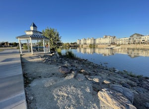
3.01.94 mi / 30 ft gainSparks Marina Loop is a loop trail that takes you by a lake located near Sparks, Nevada.Read more -
Sparks, Nevada
Stand-Up Paddleboard at the Sparks Marina
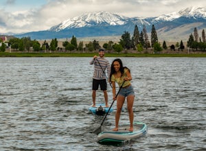
5.0The Sparks Marina, just minutes from downtown Reno, is a convenient and fun place to learn how to SUP or to spend an afternoon out on the lake. The Sparks Marina Park has ample parking and several places to put in, but there are also numerous others around the marina, including a lovely inlet on ...Read more -
Reno, Nevada
Upper Chalk Creek Trail
4.01.44 mi / 121 ft gainUpper Chalk Creek Trail is an out-and-back trail located near Reno, Nevada.Read more -
Soda Springs, California
Hike to the Peter Benson Hut
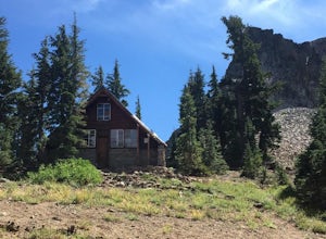
5.011.6 mi / 1800 ft gainDrive to the top of Donner Summit via the Old Hwy 40 and park at the Donner Summit PCT trailhead, just past the Sugar Bowl Academy Building. Begin hiking up-hill through a somewhat forested area for about 2 miles. Shortly after you pass the trail sign for the Mt. Judah Loop, you will come to a sm...Read more -
Reno, Nevada
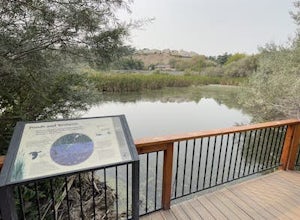
May Arboretum and Herman Pond Trail
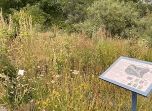
5.01.07 mi / 89 ft gainMay Arboretum and Herman Pond Trail is a loop trail where you may see beautiful wildflowers located near Reno, Nevada.Read more -
Soda Springs, California
Snowshoe to the Peter Grubb Hut
5.08 miThe Peter Grubb Hut is located below Castle Peak in Round Valley, 3 miles north of the Castle Peak trailhead near I-80. Overnight parking is available at the California Sno-Park at the Boreal-Castle Peak exit on I-80. Park on the frontage road east of the Boreal Inn and walk back under the freewa...Read more

