Verdi, Nevada
Looking for the best hiking in Verdi? We've got you covered with the top trails, trips, hiking, backpacking, camping and more around Verdi. The detailed guides, photos, and reviews are all submitted by the Outbound community.
Top Hiking Spots in and near Verdi
-
South Lake Tahoe, California
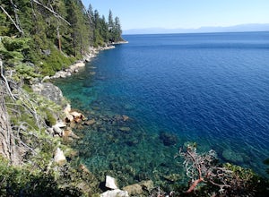
Hike the Rubicon Trail
5.07 mi / 400 ft gainThe Rubicon Trail is a through hike connecting D.L. Bliss State Park and Emerald Bay State Park. You can start at either point. I opted to start at D.L. Bliss State Park to avoid the long walk uphill to catch the Nifty Fifty shuttle. Also, there is more available parking at Bliss. Park your c...Read more -
Zephyr Cove, Nevada
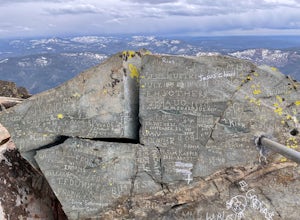
Castle Rock Loop
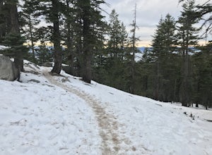
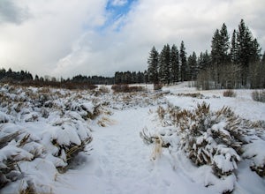
5.02.84 mi / 630 ft gainThis hike is located near Stateline, Nevada. The trail joins the Tahoe Rim Trail for part of the hike. Be aware that there will be snow on the trail from November - late May, early June depending on snowfall. Bring snowshoes / appropriate boots if you wish to use the trail in the winter. Experien...Read more -
South Lake Tahoe, California
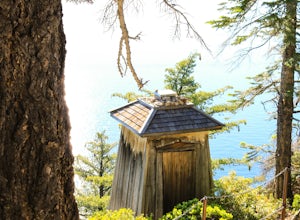
Hike the Lighthouse Trail at D.L. Bliss State Park
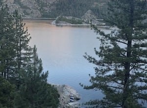
4.82.3 mi / 505 ft gainThe Lighthouse Trail is a 2.3 mile loop located in D.L. Bliss State Park on the lower west side of world famous Lake Tahoe. To get the trail, enter the park through the main entrance ($10 parking fee), the follow the road until you see two parking areas of the left side with about 6 or 7 spots e...Read more -
Sierra City, California
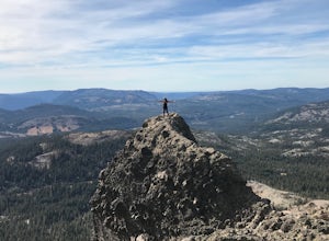
Sierra Buttes Lookout Trail
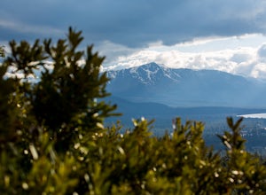
5.09 mi / 1365 ft gainSierra Buttes Lookout Trail is an out-and-back trail where you may see beautiful wildflowers located near Sierra City, California.Read more -
Glenbrook, Nevada
Castle Rock via Tahoe Rim Trail
5.01.79 mi / 407 ft gainCastle Rock via Tahoe Rim Trail (The Bench) is an out-and-back trail that takes you through a nice forest located near Zephyr Cove, Nevada.Read more -
South Lake Tahoe, California
D.L. Bliss State Park to Emerald Bay State Park via Rubicon Trail
7.21 mi / 1424 ft gainD.L. Bliss State Park to Emerald Bay State Park via Rubicon Trail is an out-and-back trail that takes you by a lake located near Tahoma, California.Read more -
Nevada City, California
Bowman Road and Meadow Lake Road to Henness Pass
3.035.45 mi / 4895 ft gainBowman Road and Meadow Lake Road to Henness Pass is a point-to-point trail that takes you by a lake located near Alta, California.Read more -
Frazier Creek Road, California
Frazier Falls
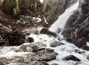
4.01.06 mi / 79 ft gainFrazier Falls is the ultimate family hike. Because the paved trail is only a mile long round trip, this trail is open to nearly anyone. Because of its relativly easy access and family friendly nature, this trail can get busy during the summer months. To reach Frazier Falls from the town of Gra...Read more -
Stateline, Nevada
Hike the Lam Watah Trail
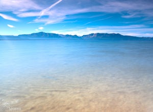
5.02.2 mi / 85 ft gainLam Watah Trail is a 2.2 mile out and back hike, that will take you through Lam Watah meadows and ends at Nevada Beach. I did the hike in December and although the best time to do it is May through October, I think it had more charm during the winter time. The trail head begins from the parking ...Read more -
Stateline, Nevada
Stroll through Rabe Meadows
1.5 miRabe Meadows is a tranquil and peaceful stroll next to Burke Creek as it flows to Lake Tahoe and Nevada Beach State Park. Very easy 1.5 mile paved trail. Perfect when there isn't any snow and a short easy hike is in need. Take in the scenery and peacefulness and be happy to be outside.Read more -
Nevada City, California
Emerald Pools
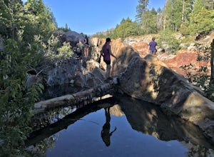
4.00.68 mi / 49 ft gainEmerald Pools is an out-and-back trail that takes you by a river located near Emigrant Gap, California.Read more -
South Lake Tahoe, California
Bike the Van Sickle Bi-State Park Trail
4.5Starting at the top of Stagecoach Lift on Heavenly Resort this trail wraps around the north slope down to the bottom of town at the casinos. It has amazing view all the way down as you make your way down the woods up top and then cruise through the burn area near the gondola fire down to the bott...Read more -
Doyle, California
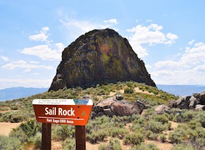
Camp at the Fort Sage OHV Area
The recreation area consists of approximately 29,000 acres of public land that is managed primarily for off highway vehicle use and winter deer range. Vehicle use within the recreation area is limited to designated roads and trails to ensure that the two primary uses remain compatible throughout ...Read more -
South Lake Tahoe, California
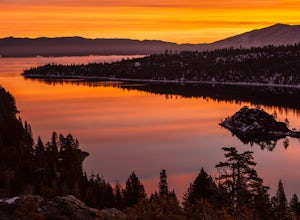
Emerald Bay
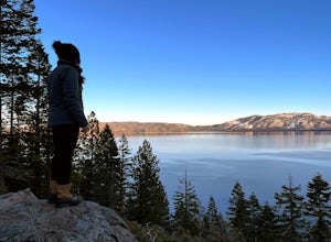
4.31.84 mi / 358 ft gainThe View at Emerald Bay is not to be missed. This is an amazing place to catch a sunrise over the lake or to see the east side of the lake lit at night. During the day, you should take the quick hike down the trail to enjoy the beach to rent a kayak and explore the dark blue water. The perspecti...Read more -
South Lake Tahoe, California
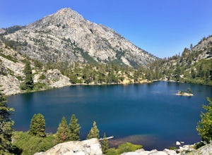
Rock Climb at Eagle Lake Cliffs
4 miTo Access Eagle Lake Cliffs Crag, head to the West Shore of South Lake Tahoe. You’ll want to park at Emerald Bay Parking Lot and head to the trail register. It’s almost always packed, so come early, or plan to park on the road and walk. Sign yourself and your party number in for the day access pa...Read more -
South Lake Tahoe, California
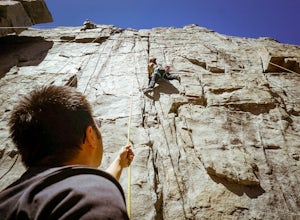
Rock Climb the 90ft. Wall
5.0Park at the Eagle Creek Canyon parking lot. If it's full, park alongside the Hwy 89, right at the entrance of the Eagle Creek Canyon parking pullout. Both parking areas fill up quickly, so if those two are full, park across the street at Emerald Bay Vikingsholm Trail parking lot. That area can fi...Read more

