Verdi, Nevada
Top Spots in and near Verdi
-
Glenbrook, Nevada
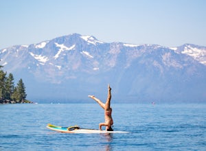
Stand Up Paddle Board Zephyr Cove
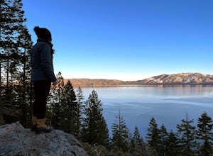
Zephyr Cove on the eastern shore of Lake Tahoe is a fantastic starting point for a host of water sports and activities and given the protected nature of the cove, a great place to do stand up paddle board. Depending on the time of year and the water level on the northern end of the beach there ar...Read more -
Glenbrook, Nevada
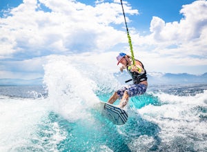
Wake Board Zephyr Cove
Zephyr Cove on the eastern shore of Lake Tahoe is a fantastic starting point for a host of water sports and activities and given the protected nature of the cove, a great place to wake surf and to *learn* to wake surf To get to Zephyr Cove take Highway 50 north for 7 miles out of South Lake Tahoe...Read more -
Glenbrook, Nevada
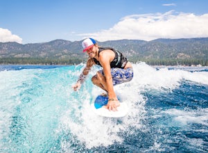
Wake Surf Zephyr Cove
Zephyr Cove on the eastern shore of Lake Tahoe is a fantastic starting point for a host of water sports and activities and given the protected nature of the cove, a great place to wake surf and to *learn* to wake surf To get to Zephyr Cove take Highway 50 north for 7 miles out of South Lake Tahoe...Read more -
Zephyr Cove, Nevada
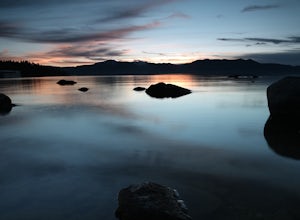
Photograph Zephyr Cove at Sunset
5.0After pulling into the parking it is only a a few minute walk right down to the beach. This place is incredible for sunrise and and sunset. The water is so calm because its tucked back in the cove which gives awesome reflections of the sky in the water. Make sure to bring a tripod and neutral den...Read more -
Placer County, California
Paddle Lake Valley Reservoir
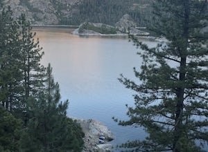
A perfect adventure spot off Highway 80, Lake Valley Reservoir offers paddlers prime parking and a paved boat launch to push off on a mountain lake with an island for picnicking. Lake speed is 10 mph so fishing boats with outboards are allowed but they have to take it slow. Post launch, head le...Read more -
Reno, Nevada
Camp at Tamarack Bay on Pyramid Lake
5.00.25 miPyramid Lake is the last remnant of the vast Pleistocene Lake Lahontan which reached its peak at the end of the last ice-age, being the terminus of many of the glaciers and ice sheets which covered much of California, Oregon, Idaho, and Nevada.Today it is an oasis in the heart of the Basis and Ra...Read more -
Nevada City, California
Backpack to Lower Rock Lake
3 mi / 713 ft gainThis adventure begins at the Lindsey Lake Campground parking lot (6,200 feet) where you leave your vehicle, takes you three miles up a trail rife with amazing photo opportunities and seasonal wildlife, and ends on the shore of Lower Rock Lake. Here you will find a dispersed camping site owned by ...Read more -
Reno, Nevada
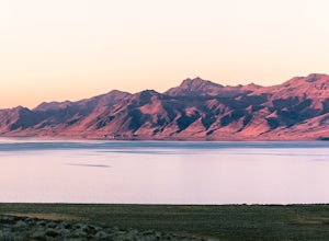
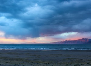
Catch a Sunset at Pyramid Lake
Catching a Sunset at Pyramid Lake is a unique experience. The high desert lake is surrounded by mountains, and strange rock formations. The reds and browns of the surrounding desert landscape light up during sunset. Combined with the blue salt water lake make for an amazing sunset. The lake will ...Read more -
South Lake Tahoe, California
Hike the Rubicon Trail
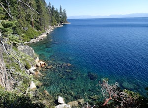
5.07 mi / 400 ft gainThe Rubicon Trail is a through hike connecting D.L. Bliss State Park and Emerald Bay State Park. You can start at either point. I opted to start at D.L. Bliss State Park to avoid the long walk uphill to catch the Nifty Fifty shuttle. Also, there is more available parking at Bliss. Park your c...Read more -
Zephyr Cove, Nevada
Castle Rock Loop
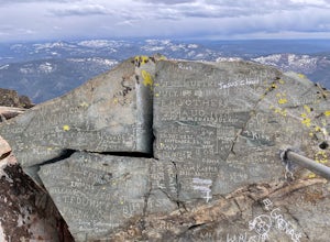
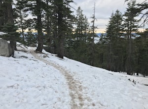
5.02.84 mi / 630 ft gainThis hike is located near Stateline, Nevada. The trail joins the Tahoe Rim Trail for part of the hike. Be aware that there will be snow on the trail from November - late May, early June depending on snowfall. Bring snowshoes / appropriate boots if you wish to use the trail in the winter. Experien...Read more -
South Lake Tahoe, California
Hike the Lighthouse Trail at D.L. Bliss State Park
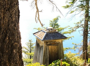
4.82.3 mi / 505 ft gainThe Lighthouse Trail is a 2.3 mile loop located in D.L. Bliss State Park on the lower west side of world famous Lake Tahoe. To get the trail, enter the park through the main entrance ($10 parking fee), the follow the road until you see two parking areas of the left side with about 6 or 7 spots e...Read more -
Sierra City, California
Sierra Buttes Lookout Trail
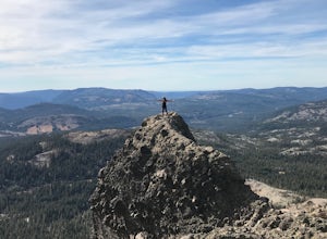
5.09 mi / 1365 ft gainSierra Buttes Lookout Trail is an out-and-back trail where you may see beautiful wildflowers located near Sierra City, California.Read more -
Glenbrook, Nevada
Castle Rock via Tahoe Rim Trail
5.01.79 mi / 407 ft gainCastle Rock via Tahoe Rim Trail (The Bench) is an out-and-back trail that takes you through a nice forest located near Zephyr Cove, Nevada.Read more -
South Lake Tahoe, California
D.L. Bliss State Park to Emerald Bay State Park via Rubicon Trail
7.21 mi / 1424 ft gainD.L. Bliss State Park to Emerald Bay State Park via Rubicon Trail is an out-and-back trail that takes you by a lake located near Tahoma, California.Read more -
Nevada City, California
Bowman Road and Meadow Lake Road to Henness Pass
3.035.45 mi / 4895 ft gainBowman Road and Meadow Lake Road to Henness Pass is a point-to-point trail that takes you by a lake located near Alta, California.Read more -
Frazier Creek Road, California
Frazier Falls
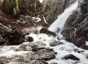
4.01.06 mi / 79 ft gainFrazier Falls is the ultimate family hike. Because the paved trail is only a mile long round trip, this trail is open to nearly anyone. Because of its relativly easy access and family friendly nature, this trail can get busy during the summer months. To reach Frazier Falls from the town of Gra...Read more

