Chaparral, New Mexico
Top Spots in and near Chaparral
-
El Paso, Texas
Hike the Mayberry Trail
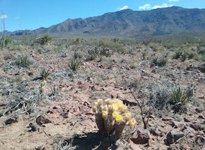
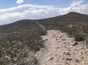
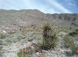
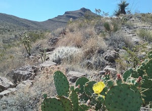
1.8 mi / 127 ft gainThis is a great trail to be able to hike year-round. Great place to see wildlife and wildflowers in the spring and summer. Also a great place to see many species of cacti. This trail connects to the numerous trails in Lost Dog system and has great views of the Franklin Mountains.Read more -
El Paso, Texas
Hike Ron Coleman Trail
1.3 mi / 606 ft gainRon Coleman Trail is a 1.3 mile out and back hike that takes you past scenic views located near Fort Bliss, TX.Read more -
Vado, New Mexico
Hike the Sierra Vista Trail from Vado to Bishop's Cap
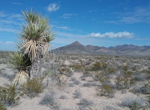
4 miStart your hike from the Sierra Vista parking lot. Proceeded NE toward Bishops Cap. At first, the trail goes through some small arroyos and is a little rocky. After about half a mile, the trail is rather flat and goes through some sandy and grassy areas. Enjoy good views of the mountains!Read more -
1700 McKinley Avenue, Texas
Hike the Ranger Peak and Directissimo Trails
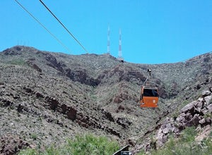
5.02.6 mi / 1230 ft gainTake the Aerial Tramway up to the top. The ride up is short but scenic. Once on the platform, hike the Ranger Peak Trail which affords you good views of the El Paso area and the Franklin Mountains. Return to the parking lot below via the Directissimo trail, which is a rather steep and difficult t...Read more -
El Paso, Texas
Hike Franklin Mountains Ridgeline Hike
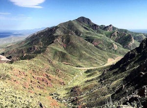
5.010.3 mi / 3946 ft gainNote that this trail is only recommended for very experienced or expert hikers. There are some short sections that require rock climbing and there are steep cliffs. Significant upper body strength is needed. If you decide to do the full trail, bring lots of water and food for hydration and energy...Read more -
El Paso, Texas
Hike the Vertigo Ridge Trail
1.1 mi / 265 ft gainStart your hike from the Stanton Street parking area. The trail starts a little steep at first but then levels out. There are several connections to other trails. There is a good view of a small canyon and also a cave. The cave is not accessible since it is on the side of a canyon. In the spring...Read more -
Las Cruces, New Mexico
Hike the Pena Blanca Trail
5.02.3 mi / 262 ft gainThe road to get here is a dirt road, but I was able to do it without a 4x4 or high-clearance vehicle. Once you park off to the left in the little gravel pull-off, you're going to follow the trail that is on the same side of the road. There will be a post that is red at the top (second picture) th...Read more -
Sunland Park, New Mexico
Hike Mount Cristo Rey Trail
4.6 mi / 649 ft gainThe trails winds its way up the mountain with several stopping places with crosses and other religious artifacts. On top of the mountain is a very large statue of Christ. This hike provides good views of the Franklin Mountains, El Paso, and Mexico. It is best to hike this trail with a group to be...Read more -
El Paso, Texas
Bouldering at Hueco Tanks State Park
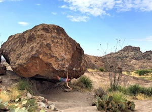
5.0Hueco Tanks is comprised of 3 mountains and 1 spur (a lateral offshoot of a mountain). North Mountain has the most dense bouldering but access requires a reservation. East and West Mountain also offer amazing climbing, but you are required to have a guide to gain entrance to those mountains. The ...Read more -
El Paso, Texas
Hike the Hueco Tanks Nature Trail
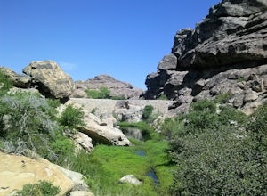
1.5 miThe nature trail is an easy trail to walk and gives you very good views of the rock formations. To see the pictographs you will have to hike up the North Mountains to get the best views. The West and East Mountains are only accessible by guided tours. During the summer and fall when there is wate...Read more -
Las Cruces, New Mexico
Hike the Picacho Mountain
3 mi / 1200 ft gainThis is a somewhat strenuous hike up Picacho Mountain. The trail is 3 miles round trip and has an elevation gain of 1200 ft. Great views from the top and also many cacti species can be seen along the trail.Read more -
Las Cruces, New Mexico
Hike the Dripping Springs Natural area
3.5 mi / 500 ft gainThis is a very scenic moderate 3,5 mile hike featuring beautiful views, rare plants and the ruins of the historic Dripping springs resort. Lots of wildflowers in the summer. In the winter you may encounter some snow and ice at the end of the trail. The trail is rather busy on week-ends but not so...Read more -
Las Cruces, New Mexico
Organ Needles Trail
5.88 mi / 3333 ft gainThe Organ Needles Trail in Las Cruces, New Mexico is a challenging hike that rewards with stunning views. This 5.88-mile round trip trail is rated as difficult, with a steep incline and rocky terrain. The trail begins at the Baylor Canyon Road trailhead and ascends to the Organ Needle Peak, the h...Read more -
Las Cruces, New Mexico
Organ Peak Trail
5.09.92 mi / 3458 ft gainOrgan Peak Trail is an out-and-back trail where you may see beautiful wildflowers located near Las Cruces, New Mexico. This is one of the longer and more challenging hikes in the Organ Mountains. An early start is recommended to keep heat down during the warmer months as well trekking poles and p...Read more -
Las Cruces, New Mexico
Hike the Sierra Vista Trail
29 mi / 500 ft gainThe trail follows the foothills of the Organ Mountains. The terrain is hilly but not very difficult to hike. There are some steep laces and also some sandy places. I have only hiked sections of the trail at different occasions . There are a lot of interesting plants along the trail. The trail is ...Read more -
Las Cruces, New Mexico
Organ Needle from Baylor Canyon Road
5.07.67 mi / 3658 ft gainOrgan Needle from Baylor Canyon Road is an out-and-back trail that provides a good opportunity for scenic views located near Las Cruces, New Mexico. Keep in mind on the trail, there isn't much in terms of shade or coverage, so please pack accordingly and with sufficient water for the trail. There...Read more

