Schroon Lake, New York
Looking for the best hiking in Schroon Lake? We've got you covered with the top trails, trips, hiking, backpacking, camping and more around Schroon Lake. The detailed guides, photos, and reviews are all submitted by the Outbound community.
Top Hiking Spots in and near Schroon Lake
-
Long Lake, New York
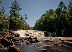
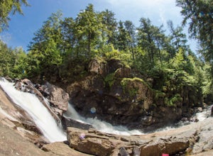
Buttermilk Falls
0.17 mi / 36 ft gainButtermilk Falls is an out-and-back trail that takes you by a waterfall located near Long Lake, New York.Read more -
Hadley, New York
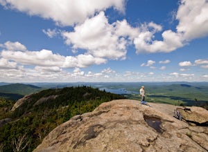
Hike the Adirondack's Hadley Mountain
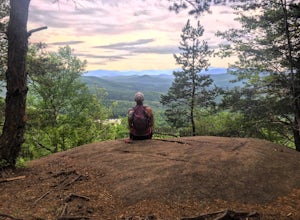
5.03.6 mi / 1545 ft gainHadley Mountain historically has faced its share of forest fires. The fires left thin soil, leading to more exposed rock on this fairly quick, scenic hike. Due to the rockiness, when you're thinking about heading out for this hike, be sure to grab a sturdy pair of hiking boots or at least your st...Read more -
Lake Clear, New York
Hike to the Summit of Ampersand Mountain
4.55.2 mi / 1775 ft gainAmpersand Mountain is part of the Saranac Lake 6er Hiking Challenge. It is one of six mountains surrounding Saranac Lake. The trail starts just across the street from the parking area. Though there is ample parking it can full up on a good day as it is a popular hike. The trail begins over most...Read more -
Lake Clear, New York
Relax at Ampersand Beach
1.1 mi / 20 ft gainLocated across from the Ampersand Mountain trailhead on NY Route 3, a trail will take you a short walk (about a half mile) to this beautiful, quiet beach on the shores of Middle Saranac Lake. Starting at the trailhead, you will continue along an unmarked but clear footpath that trails through the...Read more -
Wells, New York
Hike to Auger Falls
4.0Augers Falls is a not so well kept secret in the Wells/Speculator area of the Adirondacks. It's usually not very crowded but the people that go to take it in come from far and wide. It's an easy family friendly hike (and that includes furry family, just keep them on leash) that offers some fantas...Read more -
Castleton, Vermont
Hike around Taconic Mountains Ramble State Park
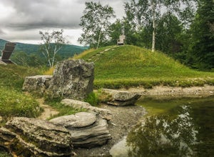
Taconic Mountains Ramble State Park is a unique collection of hiking trails and walking paths that meander more than 204 acres of fields, forests, gorges, cliffs, and gardens. The best way to explore these enchanting trails is to pack a picnic and lace up your hiking boots for a full-day ramble. ...Read more -
Saranac Lake, New York
Hike to Mount Baker in Saranac Lake
1.8 mi / 900 ft gainMount Baker (also referred to as Baker Mountain) stands at 2,457 feet and sits in the village of Saranac Lake and is part of the Saranac Lake 6ers Challenge. This is a moderate out and back 1.8 mile hike with an elevation gain of around 900 feet. It is the easiest of the 6ers and makes for a grea...Read more -
Wilmington, New York
Whiteface Mountain Summit Trail
9.45 mi / 3606 ft gainWhiteface Mountain Summit Trail is an out-and-back trail that takes you through a nice forest located near Wilmington, New York.Read more -
Salisbury, Vermont
Camp at Lake Dunmore
The campground office for Branbury state park is on the opposite side of Route 53 from the pin on the map here, but the best campsites are where the pin is. Start by going and talking to the rangers at the office, they are super friendly and very helpful for recommendations of hikes or things to...Read more -
Wilmington, New York
Hike Cobble Lookout in the Wilmington Wild Forest
4.72.6 mi / 240 ft gainPark at the trailhead located on County Route 18A just after the split from Whiteface Veteran's Memorial Highway in Wilmington, NY. There is a small parking lot for 4-5 cars and a pull off just ahead for another 3-4 cars. The trail begins at the back of the parking area. Following the contour of ...Read more -
Lake Pleasant, New York
Backpack to Cedar Lakes Lean-to #2 in the West Canada Lakes Wilderness
5.3 mi / 705 ft gainKnow before you go! It’s a bumpy road in and a bumpy road out so be sure your vehicle is ready to handle a long, winding dirt and rocky road back to the trail head. The road is approximately 7 miles to the trailhead starting on Jessup River Road off of State Route 30 in Speculator, NY. Follow Jes...Read more -
Lake Pleasant, New York
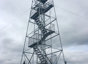
Hike Pillsbury Mountain Fire Tower
5.0Pillsbury Mountain is a fairly short but satisfying hike, ending with beautiful views of surrounding mountain ranges and lakes, and home to a defunct ranger station and fire tower. To get to the parking area within the Perkins Clearing wilderness area, head north on Route 30 out of Speculator and...Read more -
Poultney, Vermont
Camp on Mount St. Catherine
5.0Looking for the best view in all of Poultney, Vermont? Look no further than Lake St. Catherine Mountain. Located within Deane's Nature Preserve, this fast and easy hike tops as one of the best views and camping spots for the little time and energy needed to reach the summit. Only 30-45 minutes fr...Read more -
324 State Park Road, Vermont
Hike to Mount Philo
5.01.9 mi / 538 ft gainMount Philo is a great hike year-round with incredible views from the summit. Starting from the bottom, the right hand portion of the loop is ‘paved,’ while the left hand portion is more of a traditional trail hiking experience. Dogs are allowed on this trail, but must be kept on leash. Take caut...Read more -
Saranac Lake, New York
Camp at Fish Creek Pond
4.7Located in the Saranac Lake region there is a natural sand shoreline and water access for most campsites. There are countless rivers and ponds which allow use of motorized and non-motorized boats. The campsites are ideally located on Fish Creek Pond and Square Pond. The campsite offers a beac...Read more -
Tupper Lake, New York
Hike to Mount Arab Fire Tower
2.2 mi / 764 ft gainLocated just a couple miles outside of Tupper Lake this little hike is a gem. The trailhead starts just across the street from the parking area. The 1.1 mile one-way trail is marked with red discs and easy to follow. The trail has a moderate incline in areas. It follows the northern ridge of t...Read more

