Sloatsburg, New York
Looking for the best hiking in Sloatsburg? We've got you covered with the top trails, trips, hiking, backpacking, camping and more around Sloatsburg. The detailed guides, photos, and reviews are all submitted by the Outbound community.
Top Hiking Spots in and near Sloatsburg
-
Cragsmoor, New York
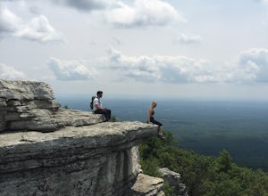
Sam's Point Overlook to Ice Cave Trail
3.47 mi / 584 ft gainSam's Point Overlook to Ice Cave Trail is an out-and-back trail with scenic views near Lake Maratanza located near Ellenville, New York. This trail is dog friendly on-leash.Read more -
Cragsmoor, New York
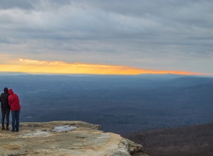
Sam's Point, Ice Cave Trail, Verkeerderkill Falls
4.96.99 mi / 1063 ft gainLocated in Sam's Point Preserve, this hike has three major attractions – panoramic views from Sam's Point, mysterious and chilly Ice Caves, and a knee-weakening perch atop Verkeerderkill Falls. Pay attention to seasonal conditions before making this trip. Spring and early summer are best for see...Read more -
Dingmans Ferry, Pennsylvania
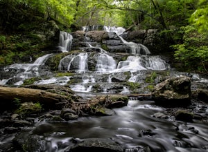
Hike to Indian Ladder Falls Along Hornbecks Creek
3.52 mi / 400 ft gainFor some time, the trail was eroded above the first falls on Hornbecks Creek, not allowing hikers to access the creek's upper falls if they were coming upstream from Route 209. I am writing this in June 2017 and that is no longer the case! You can hike from Rt. 209 all the way up the creek to Eme...Read more -
Lehman township, Pennsylvania
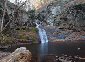
Hike to Hornbeck's Creek Waterfall
4.31.2 miGPS Coordinates: 41.187148,-74.885454Driving Directions: From 209, enter into the Delaware Water Gap and in between the 10 and 11 mile markers you will see a sign for Hornbecks Creek with a gravel road adjacent to it. Follow the road back until you reach the parking lot and the trail will be to t...Read more -
Ridgefield, Connecticut
Hike the Hemlock Hills & Pine Mountain Loop
7.5 mi / 1174 ft gainThere are several trailheads for Hemlock Hills But the least crowded is at the intersection of Ned's Mountain road and Bogus Road. I took my 3 year old black lab. There are ton's of little ponds for your dog to jump in and do dog things. For the most part the hike is flat but at some parts it c...Read more -
Dingmans Ferry, Pennsylvania
Explore George W Child's Park
4.01.4 mi / 144 ft gainOnce parked, enter the trailhead and follow the trail down Dingmans Creek to the first set of falls. Try taking pictures from off the trail to the right of these falls. Continue on to the second waterfall and again step off the trail to take pictures from the right side of the waterfall, if you d...Read more -
Washington Township, New Jersey
Hike Hacklebarney State Park's Trout Brook Riverbanks
5.0This is a relatively easy hike through Hacklebarney State Park that is great for families with younger children, rock scrambling, photography, and just hanging out in nature. There are two different ways to explore Hacklebarney, either by staying on the packed gravel path or by following the bank...Read more -
Gardiner, New York
Hike the Millbrook Mountain/Gertrude Nose loop
9 mi / 1700 ft gainThis great loop hike starts from the upper parking lot of Lake Minnewaska State Park. Walk towards Lake Minnewaska and once on that carriage road, turn left and follow the road to the to the opposite end of the lake. Along the way are great view points of the lake and several picnic areas for day...Read more -
Gardiner, New York
Lake Minnewaska Loop Trail
2.01 mi / 348 ft gainLake Minnewaska Loop Trail is a loop trail where you may see beautiful wildflowers located near Kerhonkson, New York.Read more -
Gardiner, New York
Gertrude's Nose
4.96.97 mi / 919 ft gainIt would be impossible to see all of Minnewaska’s beautiful spots in one day. Gertrude's Nose is, in my opinion, the best view in the entire park. Round trip, the hike is approximately 5 hours, and is a 7.5 mile trip. To get to the trailhead: Drive to the Minnewaska State Park entrance, pass the...Read more -
Staten Island, New York
Hike the Staten Island Greenbelt
4.07.6 miThe white trail offers one of the two more ambitious hikes, passing through Egbertville Ravine, Heyerdahl Hill and Buck’s Hollow parks on Staten Island, offering an up-close view of the forest and marshland that once covered the island. About midway, the trail also passes the Greenbelt Nature Cen...Read more -
3197 U.S. 44, New York
Hike to Sky Top via the Undercliff Road
7.3 mi / 900 ft gainStarting from the East Trapps parking area ascend the East Trapps connector trail marked with yellow blazes. You can also park at the Mohonk Preserve visitor center where you can purchase your access pass ($15 per person) and pick up a free map of the presere trails and carriage roads. The conn...Read more -
Gardiner, New York
Hike the Dickie Barre, Peters Kill and Awosting Falls Loop
3.07.8 miThis loop hike takes you to Awosting Falls (65 ft.), as well as to great valley views along the ridge of Dickie Barre, and across Peters Kill, on the way.Start out on West Trapps Connector Trail (yellow blazes) at the east end of the West Trapps parking lot (get their early because the lot will ...Read more -
Gardiner, New York
Hike The Millbrook Mountain Ridge Trail
5.07 mi / 1400 ft gainWant to walk on the edge? visit Millbrook Mountain in the Catskills of NY. This loops hike follows the mountains ridge line most of the way to the summit with multiple viewpoints and cliff ledges to walk out on. This hike is recommended those in the area.Park at West Trapps Parking Lot and head ...Read more -
Gardiner, New York
Hike the Overcliff - Undercliff Road Loop
5.3 mi / 350 ft gainFrom the West Trapps parking lot ($15 for hikers), walk to the end of the parking lot and past a large kiosk. The trail connects the parking lot to the Overcliff Road/Undercliff Road junction. The loop can be done in either direction. I turned left on the Overcliff Road. This takes you behind...Read more -
New Paltz, New York
Hike Mohonk Preserve's Gatehouse to Skytop Tower
5.09 mi / 1268 ft gainBegin at the intersection of Gatehouse Rd and Mohonk Private Rd. There is a small shoulder to park on here. Begin hiking into the preserve along the gatehouse road. There will be signs stating you need a membership or pass to enter. Don't worry about these, there will be a place on the trail ...Read more

