Barnardsville, North Carolina
Top Spots in and near Barnardsville
-
Green Mountain, North Carolina
5.0
2.13 mi
/ 1277 ft gain
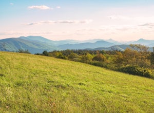
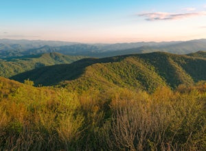
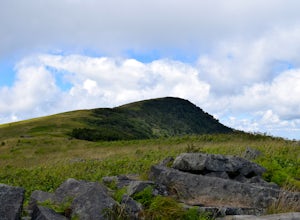
Beauty Spot Gap is located on the Appalachian Trail on the border of North Carolina and Tennessee. The bald offers a panoramic view of Cherokee National Forest and the city of Erwin. This is a popular destination for hikers of the AT to set up camp and watch the sunset.
From the Tennessee side, t...
Read more
-
Green Mountain, North Carolina
4.0
8.05 mi
/ 1165 ft gain
Appalachian Trail: Indian Grave Gap to Chestoa is a point-to-point trail that takes you by a river located near Unicoi, Tennessee.
Read more
-
Hot Springs, North Carolina
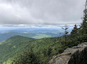
Rich Mountain fire tower is located in the Cherokee National Forest just outside of Hot springs North Carolina. Getting there is pretty easy once you get off of US 25W you drive up a gravel road for about 5 miles until you get to the tower. Once you get to the top its about a 100 foot walk until ...
Read more
-
Marshall, Tennessee
Appalachian Trail: Jones Meadow to Jerry Cabin Shelter is an out-and-back trail that provides a good opportunity to view wildlife located near Greeneville, Tennessee.
Read more
-
Unicoi, Tennessee
5.0
6.35 mi
/ 1654 ft gain
Appalachian Trail: Beauty Spot to Unaka Mountain is an out-and-back trail that provides a good opportunity to view wildlife located near Green Mountain, North Carolina.
Read more
-
Erwin, Tennessee
3.0
2.06 mi
/ 522 ft gain
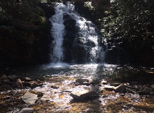
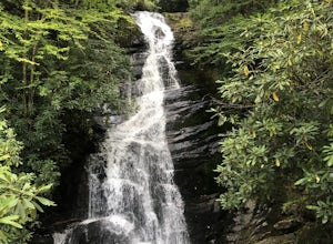
Martin's Creek Falls is an out-and-back trail that takes you by a waterfall located near Erwin, Tennessee.
Read more
-
Hendersonville, North Carolina
Park at the end of The World's Edge Road, but be aware that parking is very limited. There is a private residence up to the right so do not block their driveway/gate. Begin your hike by going through the leftmost gate, and continue straight until you reach the first view less than half a mile in....
Read more
-
Unicoi, Tennessee
Unaka Mountain Overlook is one of the highest locations in the Cherokee National Forest. Easily accessibly by vehicle, the overlook towers over the surrounding mountains, including Beauty Spot Gap, and is an ideal spot to camp overnight.
Take Rock Creek Road until you meet the border of North Car...
Read more
-
Greeneville, Tennessee
To reach the trail head, take exit number 39 to Erwin/Jonesborough and turn onto State Route 81/107 west and stay on this for 6.5 miles. Then you will turn left to stay on Route 107 and continue on for 16 more miles. Then you will take a left on Route 351 and drive 4.5 miles. Then you will take a...
Read more
-
Linville, North Carolina
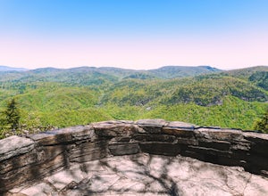
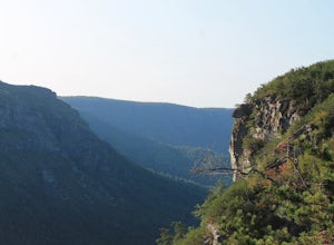
Chestoa View Overlook is an extremely short hike located down a pull-off at milepost 320 of the Blue Ridge Parkway. Park your vehicle in a designated spot then intercept the trail to the left of the lot. The trail will slowly descend down into a stone overlook. The panoramic view showcases the be...
Read more
-
Unicoi, Tennessee
3.5
0.68 mi
/ 190 ft gain
Red Fork Falls Trail is an out-and-back trail that takes you by a waterfall located near Unicoi, Tennessee.
Read more
-
Bakersville, North Carolina
The AT from Carver's Gap to HWY 19 is about 14.5 miles, but with side adventures, it could be roughly 20 miles. The trail crosses the road and continues up about a 400 ft. elevation gain to the first of the balds. This section of the AT is beautiful at near 6000 ft. above sea level and you will g...
Read more
-
Marion, North Carolina
We are pretty notorious for passing up a good campsite but we are learning our lessons. We got a late but interesting start on Pinch-In trail. We climbed down a steep 600+ feet after passing this ledge only to climb right back to it a third of a mile in. If we come up to an awesome spot, we somet...
Read more
-
Marion, North Carolina
One of the first things I noticed when researching this hike was the conflicting information regarding finding the trail head, length of the hike, and the hike's correct route. Hopefully, as of September 2017, this report will contain the most up-to-date information currently available.
To find t...
Read more
-
Bakersville, North Carolina
5.0
2.46 mi
/ 276 ft gain
Cloudland Trail is an out-and-back trail offering up expansive views of the surrounding area especially from Roan Bluff. This trail is located near Bakersville, North Carolina.
With minimal ups and downs, this makes for a decent family-friendly option. The trail is also dog friendly on-leash.
Read more
-
Nebo, North Carolina
The park has about 15 miles of trails with different levels of difficulties . Hiked the Lake Channel Trail along the lake with good views of the lake and the Blue Ridge Mountains. Hiked the Mill's creek trail which is nicely shaded and offers good views of the lake and the Linville Gorge area. ...
Read more

