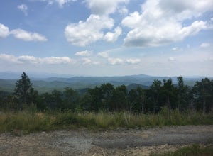
Haywood County, North Carolina
Top Spots in and near Haywood County
-
Old Fort, North Carolina
4.8
2.19 mi
/ 394 ft gain
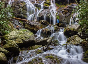
Please note, Catawba Falls is temporarily closed. You can learn more about updates at www.fs.usda.gov.
This quick and relatively easy hike is located close to Asheville, NC. If you're looking to have the trail to yourself, it can be a little tough. It's best to get there as early as possible or ...
Read more
-
150 Asbury Drive, South Carolina
The trail to the Matthews Creek cable bridge crossing is easy. The cable crossing is fine - fun for some and a do-able challenge for others.
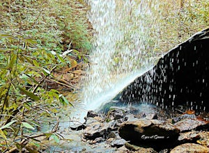
After the creek, to get to Moonshine Falls, turn RIGHT at the post which indicates a trail both left and right. This is the Naturaland Trail in Caesars Hea...
Read more
-
Flat Rock, North Carolina
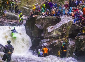
On the first Saturday of November the best creek boaters in the world gather at the Green River in North Carolina to see who can storm the Narrows and claim the top title (at least for the next year!). For paddlers, creek boating is a pursuit along tight and narrow steeps that most of us have ne...
Read more
-
Burnsville, North Carolina
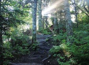
The Black Mountain Crest Trail is legendary among hikers in the southeast. It is the highest trail east of the Mississippi, as it traverses the summit of several peaks over 6,000 feet. It is also widely acknowledged as one of the premier hikes on the east coast. To whit, the trail immediately asc...
Read more
-
Black Mountain, North Carolina
Eagle Rock is located in Chimney Rock State Park and is a hot spot for climbers and hikers!
The hike to the overlook at Eagle Rock is 0.4 miles, and it's one of the most bang-for-your-buck trails in the area. We love to picnic out on the rock as it's in the sun most of the day. If you decide to...
Read more
-
Sunset, South Carolina
Once you get to the destination there should be a small parking area. At the end of this parking area you will see the start of the Twin Falls trail that will be mostly a flat walk. Follow this trail approximately 0.5 miles to the falls. You will know you are in the right place if the creek is r...
Read more
-
Townsend, Tennessee
Start your hike at Anthony Creek Trailhead (elevation 1,800 ft), in the Cade’s Cove area. The trailhead is located at the far end of the day-use picnic area near Cade’s Cove campground. There are a few parking spots right at the trailhead, but note that the picnic area closes at dusk (a gate clos...
Read more
-
35.604955,-83.770373
5.0
12.8 mi
/ 3500 ft gain
Rocky Top is known to be the spot that inspired the famous fight song of the University of Tennessee, which is also an official song for the state of Tennessee.
The trailhead for this hike begins in the Cade’s Cove picnic area parking lot towards the back side. There are a few parking spots ri...
Read more
-
Old Fort, North Carolina
4.8
0.76 mi
/ 292 ft gain
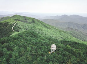
Green Knob Lookout Tower is an abandoned fire tower near Mt. Mitchell and located directly off the Blue Ridge Parkway. The tower boasts a full 360-degree, unobstructed view of Mt. Mitchell, Craggy Mountains, Table Rock, Grandfather Mountain, and the Parkway. Unlike most fire towers, this tower is...
Read more
-
Lake Lure, North Carolina
Chimney rock is a beautiful slab of weather granite that is visible from miles around. To get to this hike you'll want to head to Lake Lure in North Carolina, a beautiful lake located in the mountains of western North Carolina. Follow the signs for Chimney Rock and take the switchback road up t...
Read more
-
Lake Lure, North Carolina
5.0
2.98 mi
/ 1204 ft gain
Exclamation Point and Skyline Trail to Hickory Nut Falls is an out-and-back trail that takes you by a waterfall located near Chimney Rock, North Carolina.
Read more
-
Lake Lure, North Carolina
This waterfall is located inside of the Chimney Rock State Park. There is a fee of 15 dollars to go to the State Park but it is very worth it because of the beautiful scenery and beautiful views. The hike to the waterfall is partially uphill on the way. When you get to the waterfall there are a f...
Read more
-
Cleveland, South Carolina
3.0
1.03 mi
/ 266 ft gain
Wildcat Wayside Nature Trail is a loop trail that takes you by a waterfall located near Cleveland, South Carolina.
Read more
-
Pickens, South Carolina
4.5
7.2 mi
/ 2433 ft gain
While the Piedmont Foothills may sound deceptive, this is no easy trail. The first two miles of the Table Rock Trail take you soaring through the trees at a rapid pace. The trail is extremely well kept, but harsh and tough. A little before the two mile marker is a wooden shelter which is a great ...
Read more
-
Pickens, South Carolina
5.0
76.2 mi
/ 11036 ft gain
Starting at Table Rock State Park (South Carolina) and working your 76.2 miles way towards Oconee State Park (South Carolina) is the most popular route, with a few spur trails that lead to places like Raven Cliff Falls in Cesar's Head State Park. The trail gains ~11,036 feet in elevation with ano...
Read more
-
Pickens, South Carolina
5.0
17.2 mi
/ 5041 ft gain
Pinnacle Trail begins by the Nature Center in Table Rock State Park. Keep left at the first three splits in the trail. You will make some creek crossings, gain elevation through the forest, and pass by Mills Creek Falls (25 ft).
At Bald Rock Overlook, you can catch some nice views of Table Rock M...
Read more

