Carlisle, Pennsylvania
Top Spots in and near Carlisle
-
Thurmont, Maryland
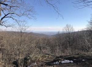
Hike the Catoctin Mountain Extended Loop Trail
4.58.6 mi / 1696 ft gainThis 8.6 mile loop trail in Catoctin Mountain Park is good for both hikers and trail runners. This loop is the larger loop in the park, comprised of Cunningham Falls, Hog Rock, Blue Ridge Summit, Thurmont Vista, Wolf Rock, and Chimney Rock. The trail gets a moderate rating because it's mostly roc...Read more -
Sabillasville, Maryland
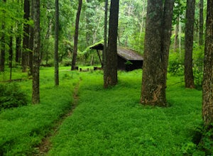
Camp at the Adirondack Shelters in Catoctin Mountain Park
5.04 mi / 1200 ft gainFor outdoor enthusiasts, Maryland is an ideal place to live. Between the mountains and the Bay--and the rivers, bike paths, and trails along the way--we couldn't ask for much more. But if we were feeling greedy, we would probably ask for additional backpacking options, right? Of course, there are...Read more -
Thurmont, Maryland
Hike Catoctin Mountain
4.58.4 mi / 1370 ft gainPark at Catoctin Mountain Visitor Center. The hike starts at the end of the gravel parking lot across from the visitor center. This is definitely a popular hiking location, so come early on the weekends to guarantee a parking spot and to avoid the crowds. To start, take the right trail towards th...Read more -
Thurmont, Maryland
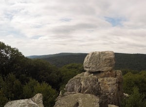
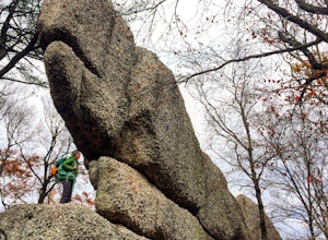
Hike Chimney Rock at Catoctin Mountain Park
4.25 mi / 600 ft gainChimney Rock is the quintessential breathtaking view that makes a hike worthwhile. By parking at the most northeast parking lot on the trail map you are able to include the sweeping views of Thurmont Vista, and Wolf Rock on your way to Chimney Rock. Highly recommend visiting in the fall, and on w...Read more -
Jonestown, Pennsylvania
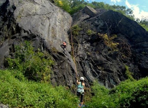
Climb Boxcar Rocks
5.01 mi / 0 ft gainThe parking lot can be tricky to find your first time. From I-81 Take Tower City exit on Rt. 325 W. Before airport, take Gold Mine Rd south over first major ridge. After ridge look for a driveway/parking lot on the left, it is the one just downhill of the big wide open parking lot. The road has...Read more -
Thurmont, Maryland
Cat Rock via Old Misery Trail
3.02.89 mi / 797 ft gainThe best place to park is on Catoctin Hollow Road in the parking lot that's on the same side of the road as the lake. It's not a huge lot but we were here mid-summer around 10 am and found a spot easily. The trailhead is on the other side of the street from this parking lot; there is a sign letti...Read more -
Smithsburg, Maryland
Hike to Cunningham Falls
4.22.8 miThis 78-foot waterfall, among the largest in the state, is easily accessible by two short trails. Lower Trail (0.5 miles) leads directly to the falls, whereas Cliff Trail (0.75 miles) has slightly more difficult terrain and takes you to a viewing platform. To lengthen the adventure, Hunting Creek...Read more -
Parkton, Maryland
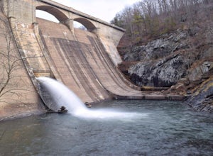
Photograph Prettyboy Dam
4.0Make sure you park in the designated spots located above the Dam. Walk across the Dam road bridge and about mid way stop and take a look over the edge. You will be greeted with the a beautiful view of the valley. To explore more keep walking over the dam bridge and walk down the stairs to view ...Read more -
Conestoga, Pennsylvania
Climb at Safe Harbor
3.3Directions: Drive to Safe Harbor. From Safe Harbor, take River Road south to Green Hill Road--this road is very windy. Drive towards Shenk's Ferry Wildflower Preserve. When you reach the tunnel, park on either side of the tunnel. There isn't too much parking here so I'd suggest carpooling.The tra...Read more -
Parkton, Maryland
Hike the Gunpowder Falls North and South Loop Trail
5.013.3 mi / 1180 ft gainPark in the lot on Bunker Hill Road and then continue a short ways to the trailhead (see map). There are no bridges for crossing the water so be prepared to pick your way across.Read more

