Gardners, Pennsylvania
Top Spots in and near Gardners
-
7, Smithsburg, Maryland
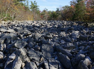
Hike to Devil's Racecourse on the Appalachian Trail
4.53 mi / 1500 ft gainStart your hike where the AT crosses Raven Rock Road (Maryland Route 491). This crossing is well-marked from both sides by large, yellow signs and blazed stakes. You will need to park on the side of the road, but the shoulder is wide and can accommodate a crowd. The first half mile or so of this...Read more -
Smithsburg, Maryland
Hike to Cunningham Falls
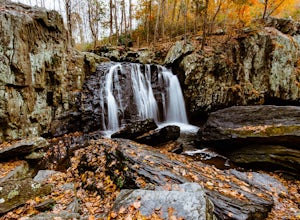
4.22.8 miThis 78-foot waterfall, among the largest in the state, is easily accessible by two short trails. Lower Trail (0.5 miles) leads directly to the falls, whereas Cliff Trail (0.75 miles) has slightly more difficult terrain and takes you to a viewing platform. To lengthen the adventure, Hunting Creek...Read more -
New Bloomfield, Pennsylvania
Hike the Buffalo Ridge Trail
2.5 miThis hike is marked as one of the most difficult at Little Buffalo, but we didn't find it to be overly exhausting. For someone that is used to hiking, this trail is a breeze. There are a few semi-steep inclines, but for the most part the trail is easy to navigate. There are picnic tables located ...Read more -
Freeland, Maryland
Hike Hemlock Gorge
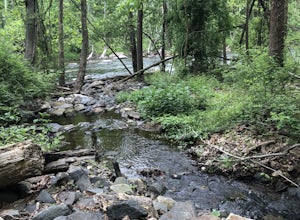
5.03.5 mi / 300 ft gainThis is one of Baltimore's little known gems. The area contains an ecosystem which is essentially non-existent outside of the Appalachian mountain regions. It has also been seemingly under-appreciated and abused by locals. I am trusting that the Outbound Collective community will do its part to e...Read more -
Marietta, Pennsylvania
Climb At Chickies Rock
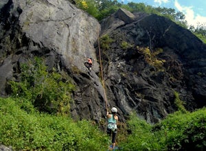
From parking at the fairly new lot on Furnace Road, head down river on the walking trail about a half mile to an obvious large face next to the train tracks. From here you choose from a variety of routes including some two pitch routes like Witches’ Brew 5.4 to Main Street 5.5 over to some of the...Read more -
Parkton, Maryland
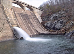
Photograph Prettyboy Dam
4.0Make sure you park in the designated spots located above the Dam. Walk across the Dam road bridge and about mid way stop and take a look over the edge. You will be greeted with the a beautiful view of the valley. To explore more keep walking over the dam bridge and walk down the stairs to view ...Read more -
Myersville, Maryland
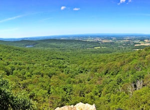
Hike to Annapolis Rock and Black Rock Cliff
4.48 mi / 840 ft gainHike along the Appalachian Trail as it passes through South Mountain State Park, taking you to a number of very scenic lookout spots.From the parking area, take the connector trail a short distance until you see blue blazes on the left – these will lead you to the Appalachian Trail (white blazes)...Read more -
Parkton, Maryland
Hike the Gunpowder Falls North and South Loop Trail
5.013.3 mi / 1180 ft gainPark in the lot on Bunker Hill Road and then continue a short ways to the trailhead (see map). There are no bridges for crossing the water so be prepared to pick your way across.Read more -
Eldersburg, Maryland
Mineral Hill Trail
4.02.04 mi / 282 ft gainMineral Hill Trail is an out-and-back trail that takes you by a lake located near Finksburg, Maryland.Read more -
Cockeysville, Maryland
Hike the Oregon Ridge Park Trail
4.04.02 mi / 475 ft gainPark in the lot as indicated on the map (see below). This trail is accessible year round, dog-friendly, and is great for families.Read more -
Conestoga, Pennsylvania
Climb at Safe Harbor
3.3Directions: Drive to Safe Harbor. From Safe Harbor, take River Road south to Green Hill Road--this road is very windy. Drive towards Shenk's Ferry Wildflower Preserve. When you reach the tunnel, park on either side of the tunnel. There isn't too much parking here so I'd suggest carpooling.The tra...Read more -
Owings Mills, Maryland
Soldiers Delight Loop
4.75.33 mi / 466 ft gainFrom Deer Park Road, parking is available at the nature center or the scenic overlook (about 100 yards up the road). I typically park at the overlook as this affords the ability to hike trails on either side of the road, and always finish the hike back at the car. From the parking area you are ju...Read more -
Owings Mills, Maryland
Serpentine Trail
4.52.39 mi / 226 ft gainPark in the area off of Deer Park road to access the trail. Dogs are welcome on leash. Trail can get muddy in the spring, and there are some stream crossings.Read more -
Mill Creek, Pennsylvania
Thousand Steps Trail to Dinky Shed
1.56 mi / 942 ft gainThe 1000 Steps Trail is part of the Standing Stone Trail as it travels up Jack's Mountain in State Game Lands Number 112. There happens to be 1,037 steps but who's counting! This is a great workout hike with many great views and an interesting piece of history if you hang a left at the top and ...Read more -
Pylesville, Maryland
Hike to Kilgore Falls
3.81.2 miThis 1.2 mile roundtrip hike leads to the second tallest waterfall in the state of Maryland. It is a short hike that's great for families and bringing the dog. In the warmer months, you can swim in the pool at the base of the waterfall. People have cliff jumped here, but exercise caution and do s...Read more -
Sharpsburg, Maryland
Antietam National Battlefield Trail
3 mi / 358 ft gainAntietam National Battlefield Trail is a loop trail that takes you by a river located near Sharpsburg, Maryland.Read more

