Lawrenceville, Pennsylvania
Looking for the best hiking in Lawrenceville? We've got you covered with the top trails, trips, hiking, backpacking, camping and more around Lawrenceville. The detailed guides, photos, and reviews are all submitted by the Outbound community.
Top Hiking Spots in and near Lawrenceville
-
Dansville, New York
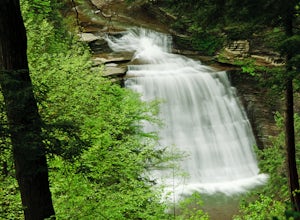
Stony Brook Via East Rim and Gorge Trails
3.02.34 mi / 669 ft gainStony Brook Via East Rim and Gorge Trails is a loop trail that takes you by a waterfall located near Arkport, New York.Read more -
Muncy Valley, Pennsylvania
Mineral Springs Falls
0.25 miMineral Springs is a roadside waterfall near Worlds End State Park. It is worth the stop to photograph and fairly easy to move around on either side of the run to get different angles. This is a run not far from Canyon Vista which is another popular spot. The waterfall sits just off Mineral Sp...Read more -
Ithaca, New York
Run the Sapsucker Woods Trails
4 miThere are two main sets of trails available for walking/running on. The trails connect across a small road and can be made into about a 4 mile loop if you run some of the interior loops as well. The trails are made of either wood-chips or boardwalks, and hold up to some snow and rain very well. T...Read more -
Muncy Valley, Pennsylvania
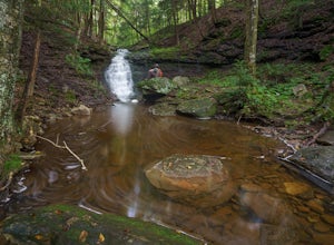
Gipson Falls
1 miGipson Falls is the other waterfall on Falls Run just off the Loyalsock Trail. There is a parking area for the Loyalsock Trail on Brunnerdale Road just off of Ogdonia Road. From the parking follow the Loyalsock Trail along the run for about .5 miles, once the Loyalsock Trail turns right and he...Read more -
Muncy Valley, Pennsylvania
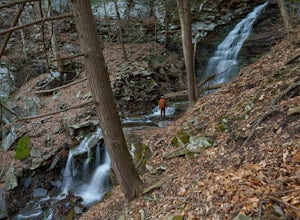
Angel Falls
4.02.9 mi / 771 ft gainThis is a moderate hike that does involve some uphill hiking to reach the top of the plateau and some downhill hiking to reach the base of the waterfall. Angel Falls is relatively easy to find though, with the Loyalsock Trail leading to a clear side trail that takes you straight to the top of the...Read more -
Apalachin, New York
Hike the West Gorge Trail at Waterman Conservation Center
1.3 miPark anywhere near the conservation center when you pull into the parking lot and head towards the open field where a map kiosk stands. Follow the green trail markers (West Gorge Trail) to the creek where it follows along and intersect at about 0.4 miles. From here connect to follow the yellow tr...Read more -
Apalachin, New York
Hike and Birdwatch the Apalachin Marsh
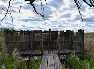
5.01 miPark on the gravel "pull-off" West-bound on Route 434 in Apalachin (See pin). Walk along the fence and turn into the opening where you'll go through a tunnel about 20 yards long. From there you're in the preserve where you can hike the yellow trail, leading to the Bird Blind and other scenic over...Read more

