Charlestown, Rhode Island
Looking for the best photography in Charlestown? We've got you covered with the top trails, trips, hiking, backpacking, camping and more around Charlestown. The detailed guides, photos, and reviews are all submitted by the Outbound community.
Top Photography Spots in and near Charlestown
-
Westport, Massachusetts
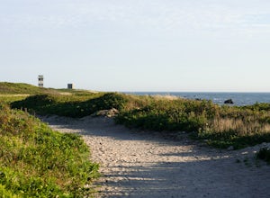
Hike Gooseberry Island
1.5 mi / 36 ft gainBegin an hour before sunset at the intersection between West Beach and East Beach Road. The intersecting roads will lead you to a paved causeway over the ocean. Waves typically clash on either side of you as you drive over the ocean. There is a free parking lot once you reach the opening. To reac...Read more -
Dartmouth, Massachusetts
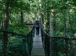
Hike Frank Knowles–Little River Reserve Trail
4.64 mi / 295 ft gainFrank Knowles-Little River Reserve contains nearly 9 miles of hiking trails to explore. Start off by parking in the white sea shell parking lot. From there you will find the trail marked by a DNRT sign . My group and I walked along the red/boardwalk trail which features a number of boardwalks lea...Read more -
East Haddam, Connecticut
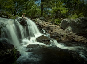
Explore Chapman Falls in Devil's Hopyard SP
4.0If you map to Chapman Falls in East Haddam, CT, you will be brought to a parking lot opposite from the waterfall in Devil's Hopyard, a beautiful Connecticut state park. Once there, it's only a few minute walk down a very clear trail to the base of the 60 foot falls. There's plenty of room to set ...Read more -
Chaplin, Connecticut
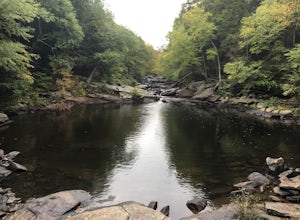
Hike to Diana's Pool
4.01.3 mi / 45 ft gainThe drive to Diana's Pool is worth it in an of itself, taking you through the backroads of Eastern Connecticut. To begin the hike just simply enter the woodland path and follow the trail. In order to go under the bridge just simply take the first left in the path and there will be a stream that f...Read more -
North Smithfield, Rhode Island
Hike the Fort Wildlife Refuge
1 miThe parking area is about 50 yards down the dirt driveway on your right. Take care in the spring, as the parking lot can become a mud pit! This wildlife refuge is a series of loops which lead to three different ponds. These directions are for the 'Pond One' loop. When you start on the trail, sta...Read more -
Blackstone, Massachusetts
Hike the Blackstone Gorge Trail
5.00.7 mi / 72 ft gainPark at the lot at the corner of Staples Lane and County Street. From here you can access the Blackstone Gorge Trail. Dogs are allowed on leash, and you can enjoy various paths along the river or through the forest. At multiple points you can find yourself looking down at the Blackstone River fro...Read more -
Douglas, Massachusetts
Hike the Coffeehouse Loop, Douglas State Forest
3.02.2 mi / 500 ft gainDouglas State Forest is located off of Rte 16 in south central Massachusetts. To access trails and the lake, head to the parking area on Wallum Lake Park Road. From the parking lot, you can access the Coffeehouse Loop Trail, as well as a few other shorter trails by the lake. The Coffeehouse Loop ...Read more -
Glastonbury, Connecticut
Blackledge Falls
4.01.46 mi / 207 ft gainAlthough the park contains hiking trails, a pond and a streambelt, the primary draw of this parcel of land is the 25 foot waterfall. The falls flow varies depending on the volume of precipitation, from a trickle in the dry months to a three-pronged vertical drop after some consistent snow melt or...Read more -
Middlesex County, Connecticut
Hike to Glen Falls
5.00.75 miAccessing Glen Falls may be a little tricky at first. Parking will be very minimal, you will park on Grist Mill Ln. Hop onto the road and you will see the trail map on the left side. The adventure begins when you cross the street and go through the gate with the yellow blaze symbol. Keep followin...Read more

