Benton, Tennessee
Top Spots in and near Benton
-
Tellico Plains, Tennessee
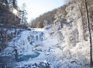
Exploring Bald River Falls
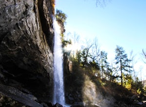
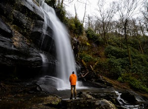
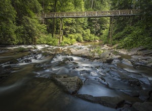
4.8If you're looking to check out a secnic waterfall in East Tennessee, Bald River Falls is sure to be on your list. At 90 feet, you can't miss this roaring beauty during any season. Also, Tellico Plains is an awesome mountain town in itself; check it out before or after your hike.To get to Bald Riv...Read more -
Morganton, Georgia
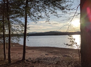
Camp at Morganton Point
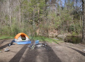
Morganton Point Campground is one of the most well-maintained campgrounds in North Georgia. There are sites available for both RVs and tents, but the tent section is separate from the RV area so don't worry about any noisy generators! I camped at Site F, a tent-only campsite. This campsite (and ...Read more -
Tellico Plains, Tennessee
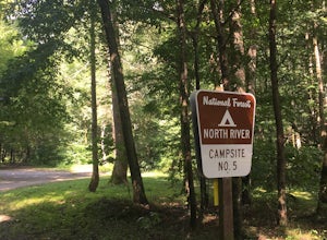
Camp at North River Campground and Dispersed Campsites
North River Road is located in the Nantahala National Forest near Tellico Plains. To get to North River Campground you can either drive up the Cherohala Skyway about 6 miles then turn when you see the sign for the campground and bald river falls. Another way to get to the campsites along North Ri...Read more -
Tellico Plains, Tennessee
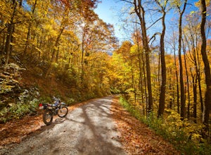
Explore North River Road
4.7If you're looking to get off the beaten path and take the road less traveled, North River Road is your ticket to solitude.A popular loop for the locals is starting on Tellico River Road, then getting on North River Road to make your way up the mountain all the way to the Cherohala Skyway. Take th...Read more -
Murphy, North Carolina
Hike to Panther Top Fire Tower
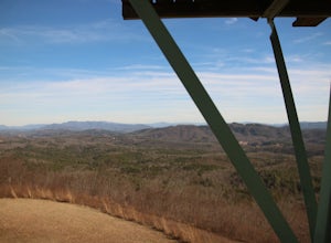
1.5 mi / 450 ft gainThe Panther Top fire tower is located in the Nantahala National Forest outside of Murphy, NC. To get there you get off of US 74 then turn onto panther top rd and continue till you see the signs for the tower. Once you get there the hike is about .75 there mostly up on the way to the top of the to...Read more -
Dayton, Tennessee
Hike through the Laurel Snow Pocket Wilderness
5.06 mi / 900 ft gainThe Laurel-Snow Trail was the first National Recreation Trail designated in Tennessee and at just under 35 miles from downtown Chattanooga, it is perfect for a day hike, for a day of climbing, or for setting up basecamp for the weekend. The 2,000 acre area sits along the Walden Ridge of the Cumbe...Read more -
Soddy-Daisy, Tennessee
Bouldering Stone Fort, TN
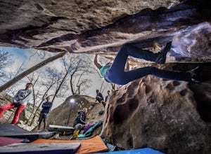
4.50.25 miStone Fort sits atop the Cumberland Plateau just half an hour from downtown Chattanooga, and is one of the premiere bouldering locations in the Southeast. One of the three sites of the annual Triple Crown Bouldering competition, Stone Fort offers a wealth of climbing problems for any climber's a...Read more -
Soddy-Daisy, Tennessee
Hike the Hogskin Upper and Lower Loop
5.01.4 miAfter an easy 25 minute drive from Chattanooga you will reach North Chickamauga Gorge on Montlake Road in Soddy Daisy. Park any where in the gravel loop just make sure other cars can get through. From the Montlake Road Trailhead Kiosk the trail begins on an old mining road. Hogskin Upper Loop Tr...Read more -
Soddy-Daisy, Tennessee
Hike the Hogskin Loop to Stripmine Falls
2.51.3 miStripmine Falls is not the biggest waterfall in the area, but it is both beautiful and accessible with just a short and easy out-and-back (or loop) hike. The additional attraction of cool swimming pools along Chickamauga creek make this an ideal destination for a day full of relaxation and adven...Read more -
Blue Ridge, Georgia
Long Branch Loop Trail
5.02.33 mi / 299 ft gainLong Branch Loop Trail is a loop trail where you may see beautiful wildflowers located near Blue Ridge, Georgia.Read more -
Blairsville, Georgia
Nottely Reservoir Trail
2.53 mi / 335 ft gainNottely Reservoir Trail is a loop trail that takes you by a river located near Blairsville, Georgia.Read more -
Tellico Plains, Tennessee
Hike to Falls Branch Falls
5.02.6 mi / 540 ft gainTo get to the trailhead, drive 22.5 miles on the Cherohala Skyway from Tellico Plains, Tennessee. If you are coming from the North Carolina side, drive 20.5 miles to the trailhead. The trailhead parking area is marked by a large green sign saying West Rattlesnake and is surrounded by a low stone ...Read more -
Vonore, Tennessee
Camp at Citico Creek
5.0There are a few options for getting to Citico Creek, you can either go up the windy gravel road from US 411 or get off of the Cherohala Skyway and go down the mountain past the Indian Boundary campground. The Citico Creek campground has about 5 or 6 spots but is rarely full because it is very sec...Read more -
Ellijay, Georgia
Hike the Tumbling Waters Trail
5.01.3 mi / 160 ft gainJust North of Carters Lake lies one of its tributaries, Tails Creek. The Tumbling Waters Trail follows along a scenic stretch of this creek as it cascades its way towards the lake. This trail is moderately trafficked and considered a local favorite. The Tumbling Waters trailhead also contains a...Read more -
Tellico Plains, North Carolina
Hike to Whiggs Meadow
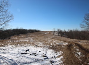
3 mi / 700 ft gainYou will start your hike off of the Cherohala Skyway. The trail-head is a small asphalt pull-off on the right if you are coming from Tellico Plains. From the trail-head the trail starts up and almost all of the trial is an uphill incline on the way there with about 700 feet of elevation change ov...Read more -
Chattanooga, Tennessee
Stroll Chattanooga's Walnut Street Bridge
5.0Chattanooga's Walnut Street Bridge was once almost demolished, but instead it was revitalized to be one of the longest pedestrian bridges in the world. Connecting the Downtown Arts District to Northshore's Frazier Avenue, this bridge hosts visitors and locals year round. Whether you walk, bike, o...Read more

