Del Rio, Tennessee
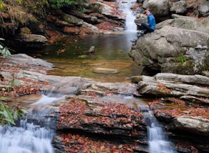
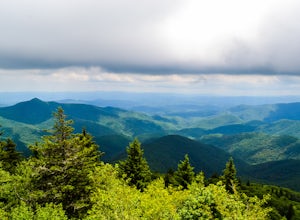
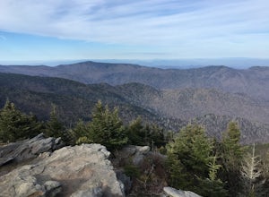
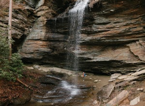
Looking for the best photography in Del Rio? We've got you covered with the top trails, trips, hiking, backpacking, camping and more around Del Rio. The detailed guides, photos, and reviews are all submitted by the Outbound community.
Top Photography Spots in and near Del Rio
-
Unicoi, Tennessee
Pinnacle Mountain Trail
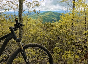
8.81 mi / 2700 ft gainPinnacle Mountain is a long, grinding climb to the top. The singletrack winds up 1,500 feet of elevation for nearly 5 miles with few downhill sections. Once at the top, take a rest and climb the fire tower that overlooks the Downtown Johnson City area, Elizabethton, Erwin, and the rest of the Buf...Read more -
Unicoi, Tennessee
Pinnacle Mountain Fire Tower via Fire Tower Road
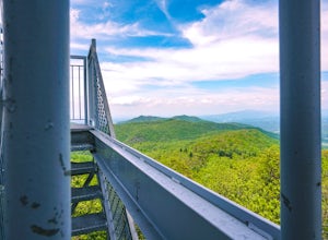
5.03.47 mi / 663 ft gainPinnacle Mountain hosts one of the nicest fire towers on the East Coast of the United States. The fire tower is relatively new, sturdy, and has a large 360 degree viewing area at the top. The tower overlooks the Downtown Johnson City area, Elizabethton, Erwin, and the rest of the Buffalo Mountain...Read more -
Unicoi, Tennessee
Camp at Unaka Mountain Overlook
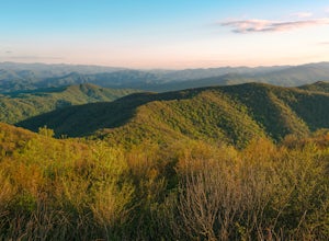
4.00.1 miUnaka Mountain Overlook is one of the highest locations in the Cherokee National Forest. Easily accessibly by vehicle, the overlook towers over the surrounding mountains, including Beauty Spot Gap, and is an ideal spot to camp overnight. Take Rock Creek Road until you meet the border of North Car...Read more -
Canton, North Carolina
Explore Lower Falls at Graveyard Fields
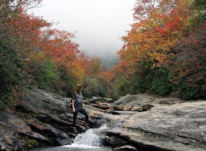
4.3Graveyard Fields got it's name years ago from wind-thrown tree trunks that gave the appearance of a graveyard, until 1925 when an intense fire swept through the area, destroying the stumps. The forest has been recovering ever since.The parking area for Graveyard Fields is located at milepost 418....Read more -
Bryson City, North Carolina
Explore Old 288 and the Lands Creek Bridge
2.51 miNC 288 was constructed in the 1920's, but did not last long with the construction of the Fontana Dam as the resulting lake covered the highway. The U.S. government entered an agreement in which they would provide a replacement road, but to this day it has not been completed and is know by locals ...Read more -
Canton, North Carolina
Skinny Dip Falls
4.81.03 mi / 148 ft gainPark at the Looking Glass Rock Overlook. After enjoying the view of Looking Glass Rock, gear up and head to the right side of the parking area (right side if your back is to the overlook). On the opposite side of the road you'll see a mile marker and a little trail to the left of the marker. Foll...Read more -
Cullowhee, North Carolina
Exploring two legendary Cherokee sites: Judaculla Rock and Devil's Courthouse, North Carolina
5.00.9 mi / 258 ft gainJudaculla was an ancient Cherokee spirit being and giant. He ruled in western North Carolina in the traditional Cherokee homeland. Once while chasing some hunters, when he jumped to the ground, his hand hit a rock. You can still see the print on Judaculla Rock. It is the most elaborate piece of r...Read more -
Balsam Grove, North Carolina
Devil's Courthouse
4.70.85 mi / 246 ft gainThe Devil's Courthouse Overlook and Trail can be one of the best places to see the entire Blue Ridge countryside. Even though it is a short hike, there is a fairly steep incline halfway through, so be prepared to huff and puff a little. It takes anywhere from 15 to 20 minutes depending upon your ...Read more -
Burnsville, North Carolina
Deep Gap Trail at Mt. Mitchell State Park
5.08.24 mi / 2310 ft gainI personally find this trail to be more difficult and have more rewarding views than the Mt. Mitchell summit trail. The Deep Gap Trail starts near the Mount Mitchell summit and heads into a forest of spruce and balsam fir trees. The trail then climbs along the ridgeline to neighboring summits. E...Read more -
Tuckasegee, North Carolina
Hike to Dill Falls
0.4 mi / 400 ft gainThe drive to this waterfall can be a little muddy when there is a lot of rain and can need an AWD or 4WD in the rain. The road has some new gravel laid in parts so it could be improved in a few months. In the summer there is also a chance of seeing large dump trucks and logging trucks, but the ro...Read more -
Sylva, North Carolina
Hike to Cowee Bald Fire Tower
4.4 mi / 400 ft gainThe Cowee Bald Fire Tower is located in the Nantahala National Forest near Bryson City North Carolina. To get there you can either drive almost all the way to the top about .2 miles from the top but to get there you will need to have a 4WD or a higher clearance vehicle to cross a small stream. Ho...Read more -
Brevard, North Carolina
Moore Cove Falls
4.31.28 mi / 223 ft gainThe hike relatively quick and has minimal elevation gain, making it a great hike for the family or a quick stop off if you're planning to do another hike in the same day. This part of the Pisgah National Forest is filled with scenic hikes. Once you've parked your car, cross over the stream via a...Read more -
Bryson City, North Carolina
Hike to Alarka Falls
5.01 mi / 100 ft gainTo visit the falls, take US-74 west from Bryson City to exit 64 . Take a left at the exit and drive on Alarka Road for about 10 miles. Follow the road all the way to the end where you will find a turnaround. Don't make the mistake of following the forest service road (it is gated), as it is not ...Read more -
Johnson City, Tennessee
Sunset Point
5.00.65 mi / 223 ft gainSunset Point is an overlook located in Buffalo Mountain State Park. The trail is a short hike up along the White Rock loop trail then a short walk off the trail to get to the overlook. There is a clearing with a few benches that has wide open views to the west. The short hike up to the point shou...Read more -
Montreat, North Carolina
Hike Lookout Mountain, Montreat
5.01.1 mi / 623 ft gainNestled in the Blue Ridge Mountains is Montreat, North Carolina. Just down the road from Asheville, it neighbors Black Mountain and doesn't disappoint for views. Montreat itself houses a plethora of hiking trails, but the cream of the crop HAS to be Lookout Mountain. After a weekend of checking o...Read more -
Brevard, North Carolina
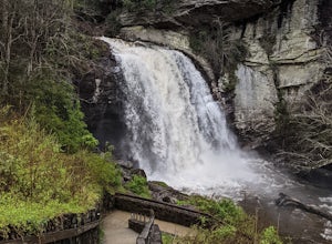
Looking Glass Falls
4.30.08 mi / 0 ft gainLooking Glass Rock located along the Blue Ridge Parkway (North) is one of the largest masses of granite in the Eastern US. It got it's name for the way the sunlight hits its rocky surface when wet, creating a shimmering, reflective, mirror-like effect. The views from this overlook are vast and cl...Read more

