Georgetown, Texas
Top Spots in and near Georgetown
-
Austin, Texas
Mount Bonnell Loop
3.60.46 mi / 59 ft gainThe trail up is a combination of manmade and natural stairs that take you up to the top. At the summit, you will find beautiful views of the area, and a pavilion where you can have a picnic lunch. To head back down by a different route, continue on the northern trail, which will take you past mo...Read more -
Austin, Texas
Hike the Mayfield Park Lake Trail
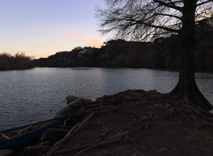
3.01 mi / 0 ft gainMayfield Nature Preserve is a 21-acre park located just west of downtown Austin, Texas. This nature preserve is unique from all other parks in Austin in that it that features free-roaming peacocks. It's a beautiful park full of beautiful nature and the trail leads down near the lake. The trail is...Read more -
Austin, Texas
Hike Main Trail to Meadow Loop to Taylor Creek Loop
0.6 mi / 55 ft gainThe Main Trail to Meadow Loop to Taylor Creek Loop is a 0.6 loop hike found within Mayfield Park just west of downtown Austin. The trail is completely shaded and is a relatively easy hike. The trail does descend down stairs in some spots, but nothing too significant. This is a great family trail ...Read more -
Austin, Texas
Hike Laguna Gloria Trail
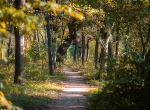
0.4 mi / 9 ft gainThe Laguna Gloria Trail is a 0.4 mile out-and-back hike beginning in Mayfield Park, a popular park located in west Austin. The trail is very short and relatively easy. The trail is made of dirt and is completely shaded. It's a very calming walk and beautiful walk, full of lush greens and dependin...Read more -
Austin, Texas
Turkey Creek Trail
2.72 mi / 259 ft gainTurkey Creek trail is a 2.7 mile out-and-back hike located within Emma Long Metropolitan Park in Northwest Austin, Texas. This trail is perfect for cycling, running, walking, and general exercise. The trail is made of dirt with few inclines. Please note, however, at the beginning of the trail the...Read more -
Austin, Texas
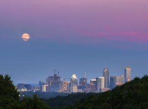
Watch the Sunrise at Highway Scenic Overlook
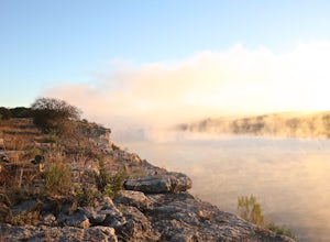
This spot is located right off of the North Capital of Texas Highway (Loop 360) on the west side of Austin. It faces east and is perfect for catching the sunrise over the city or just overall chillin'. It provides easy and accessible parking. It's a popular spot for sunset and sunrise. There are ...Read more -
Austin, Texas
Hike the Shoal Creek Trail
5.05.47 mi / 173 ft gainThe Shoal Creek trail is located along the Shoal Creek Greenbelt which stretches the length of central/downtown Austin. It is a 5.4 mile out-and-back trail following along Shoal Creek. Much of the trail runs through residential area. And though it runs parallel to a creek, itis a city trail and n...Read more -
Austin, Texas
Hike Mueller Park Trail
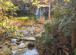
4.02.6 mi / 78 ft gainThe Mueller Park Trails total a distance of 5 miles with a 2.6 mile loop hike that takes you by some waterfalls located in Austin, TX. You can wander around Mueller Lake or the pond in Southwest Greenway, where man-made waterfalls can be viewed, or both! In addition to the waterfalls, the Southwe...Read more -
Austin, Texas
Wild Basin Wilderness Preserve Loop
4.01.8 mi / 262 ft gainWild Basin Wilderness Preserve is managed as part of the Balcones Canyonlands Preserve and consists of 227 acres of beautiful Hill Country woodlands owned jointly by Travis County (164.4 acres) and St. Edwards University (62.6 acres). Wild Basin is open to visitors who can hike the 2.5 miles of t...Read more -
Austin, Texas
Swim and Relax at Common's Ford Ranch
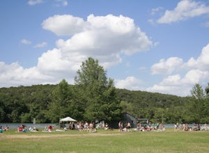
3.0Commons Ford is a lakefront park offering a boathouse that can be reserved, fishing, volleyball net and picnicking. Many people go to the park with the expectation of lounging on the large grassy area for many hours so be sure to pack food, blankets, sunscreen, and tubes if you plan to float in ...Read more -
Austin, Texas
University of Texas Walk
2.99 mi / 197 ft gainThe University of Texas Walk is about a 3-mile loop trail around the University of Texas at Austin. Beginning at the LBJ Presidential Library, the trail loops around all of UT's most prominent landmarks, including the LBJ fountain, the Blanton Museum of Art and of course the renowned school tower...Read more -
Austin, Texas
Take a Stroll around Red Bud Isle
1 mi / 0 ft gainThis small isle is a nice feature of the section of the Colorado River that flows through Austin. The isle is pretty small and is a good scenic location for a quick 1-2 hour outing. All the trails are pretty flat and easy to walk. Definitely worth checking out if you are looking for a nice park i...Read more -
Austin, Texas
Walk Through Austin State Capitol
4.03.4 mi / 101 ft gainThe loop is primarily used for hiking and walking and is accessible year-round. Dogs are also able to use this trail but must be kept on leash. This walking tour provides the visitor with many views of Texas History: the beautiful state capitol building, the capitol grounds filled with historic m...Read more -
Spicewood, Texas
Camp at Pace Bend Park
4.4Pace Bend is a favorite camping and day use destination near Austin, Texas. The park is approximately 45 minutes West of Austin located off of Hwy 71 and offers visitors a wide range of recreational activities. There is an entrance fee of $10 per vehicle for Day Use only and $15 per vehicle for p...Read more -
Spicewood, Texas
Climb at Pace Bend Park
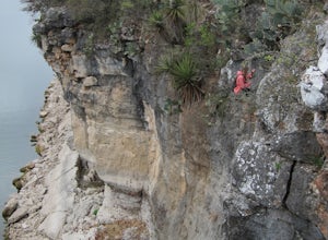
The "must have" campsite is along Marshall Cove in Pace Bend Park. From the park's entrance head straight along the road and take the 3rd left onto the Marshall Cove turnout. The sites are not numbered, but locating the site is pretty easy--it's on the left-hand side of the the road along the edg...Read more -
Austin, Texas
Catch a Sunrise at the Look Out Point
0.1 miThis look out point is less than a quarter mile hike and is located within the Rollingwood neighborhood, just west of Loop 1 (Mopac Expressway). It faces east and is a great location for catching sunrise. The trail to the overlook is crushed gravel, but is very flat. This overlook is kid- and dog...Read more


