Texas
Looking for the best hiking in Texas? We've got you covered with the top trails, trips, hiking, backpacking, camping and more around Texas. The detailed guides, photos, and reviews are all submitted by the Outbound community.
Top Hiking Spots in and near Texas
-
Johnson City, Texas
Hike Wolf Mountain, Juniper Ridge And South Loop Equestrian Trail
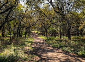
6.6 mi / 374 ft gainThe Wolf Mountain, Juniper Ridge and South Loop Equestrian Trail is a 6.6 mile loop hike within Pedernales Falls State Park, right outside of Johnson City, Texas. The trail is pretty wide and great for all sorts of exercising and social distancing. The trail is relatively moderate, with few incl...Read more -
Austin, Texas
Hike Valburn Switchback Party
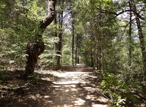
1.1 mi / 203 ft gainThe Valburn Switchback Party is a 1.1 mile loop hike located within the Bull Creek Greenbelt of northwest Austin. This trail is part of the Valburn trail system and is mostly shaded. It features several mild inclines and the switchbacks on the trail are decently moderate. It's a great exercising ...Read more -
Matagorda, Texas
Matagorda County Beach Trails
4.05.45 mi / 82 ft gainMatagorda County Beach Trails is an out-and-back hike that takes you past scenic coastal views located near Matagorda, TX.Read more -
Pittsburg, Texas
Lake Bob Trail Loop
5.06.29 mi / 351 ft gainLake Bob Trail in Lake Bob Sandlin State Park is a 6.3 loop trail where you may see beautiful wild flowers located near Winfield, TX. The trail is well-marked and has signs describing the flowers and plants you see along the trail. There are a few ups and downs along the trail, but not major elev...Read more -
1700 McKinley Avenue, Texas
Hike the Ranger Peak and Directissimo Trails
5.02.6 mi / 1230 ft gainTake the Aerial Tramway up to the top. The ride up is short but scenic. Once on the platform, hike the Ranger Peak Trail which affords you good views of the El Paso area and the Franklin Mountains. Return to the parking lot below via the Directissimo trail, which is a rather steep and difficult t...Read more -
Austin, Texas
Hike Laguna Gloria Trail
0.4 mi / 9 ft gainThe Laguna Gloria Trail is a 0.4 mile out-and-back hike beginning in Mayfield Park, a popular park located in west Austin. The trail is very short and relatively easy. The trail is made of dirt and is completely shaded. It's a very calming walk and beautiful walk, full of lush greens and dependin...Read more -
Concan, Texas
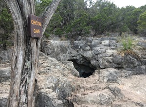
Crystal Cave via Foshee and Old Horse Trail
5.02.55 mi / 499 ft gainCrystal Cave via Foshee and Old Horse Trail is a loop trail that takes you past a cave located near Rio Frio, TX.Read more -
Glen Rose, Texas
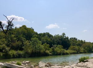
Paluxy River Trail
5.03.89 mi / 502 ft gainPaluxy River Trail is an out-and-back hike that follows along the Paluxy River in Dinosaur Valley State Park located near Glen Rose, TX. This trail is relatively flat, making for a good hike for the family especially since it's an out-and-back and you can turnaround early if needed. This trail ...Read more -
Culberson County, Texas
Smith Springs Loop
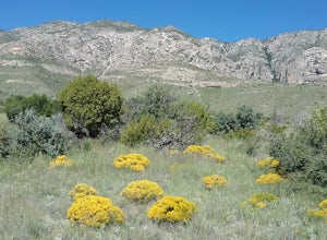
5.02.49 mi / 400 ft gainParked at the trail head of Frijoles Ranch. Started my hike on the paved trail to Manzanita springs. After that the trail winds trough desert landscape with numerous desert wildflowers in the early fall, The trail ends up at the base of the mountains where I saw the springs. Returned to the park...Read more -
Pilot Point, Texas
Randy Bell Scenic Trail
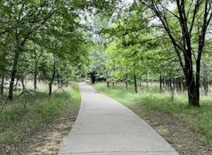
5.02.48 mi / 154 ft gainRandy Bell Scenic Trail is a loop trail that takes you by a lake located in Ray Roberts Lake State Park near Pilot Point, TX. There is a fee to enter the park, but you can also purchase a state park annual pass. Learn more by visiting the Texas.gov state park website. This is an ADA accessible t...Read more -
San Marcos, Texas
Hike Limbo, Dante, Old West, Beatrice, And Ovid East Loop
5.03 mi / 131 ft gainThe Limbo, Dante, Old West, Beatrice, and Ovid East Loop is a 2.98 mile loop trail that begins in Prospect Park and makes a loop around through the Purgatory Greenspace in San Marcos, Texas. The trail is mostly shaded and a little rocky at certain sections. However, this is a great hiking trail ...Read more -
Eustace, Texas
Wolfpen Hike and Bike Green and Blue Trail Loop
5.03.28 mi / 171 ft gainWolfpen Hike and Bike Green and Blue Trail is a loop trail starting at Purtis Creek Trailhead located near Eustace, TX. The adventure begins next to the lake offering a scenic starting point in Purtis Creek State Park. The trail is mostly flat and a little wider, making this not too strenuous of ...Read more -
Austin, Texas
Hike Main Trail to Meadow Loop to Taylor Creek Loop
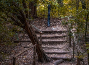
0.6 mi / 55 ft gainThe Main Trail to Meadow Loop to Taylor Creek Loop is a 0.6 loop hike found within Mayfield Park just west of downtown Austin. The trail is completely shaded and is a relatively easy hike. The trail does descend down stairs in some spots, but nothing too significant. This is a great family trail ...Read more -
El Paso, Texas
Hike the Agave Loop Trail
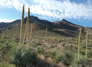
1.9 mi / 370 ft gainStart your hike at the West Cottonwood trail parking lot. The ascent on the trail is not too difficult. First the trail will take you to the top of the Sneed Cory with good views of the State Park. After that, continue up the mountainside, which has with lots of sotols and agaves as well as many ...Read more -
Fort Davis, Texas
Clayton’s Overlook Loop
5.01.5 miClayton’s Overlook is a moderate hike at the Chihuahuan Desert Nature Research Center. This climb will take you to the highest spot in the park. Visit the Chihuhuan Desert Institute website for an area map and additional information.Read more -
Culberson County, Texas
Pratt Lodge Via McKittrick Canyon Trail
4.8 mi / 341 ft gainPratt Lodge via McKittrick Canyon Trail is a 4.8 mile out and back hike that takes you by a river located near Salt Flat, TX.Read more

