Antimony, Utah
Looking for the best photography in Antimony? We've got you covered with the top trails, trips, hiking, backpacking, camping and more around Antimony. The detailed guides, photos, and reviews are all submitted by the Outbound community.
Top Photography Spots in and near Antimony
-
38.089236,-111.343124, Utah
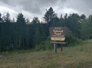
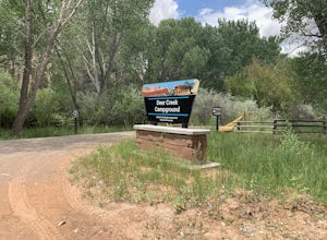
Camp at Oak Creek Campground
This campground is extremely easy to get to and is in a good location. It is located in the Dixie National Forest along Utah highway 12. The campground has a total of 9 spots most are good for small RV but nothing longer than 20ft. The campground has no electricity or water hookups but a water sp...Read more -
Sevier, Utah
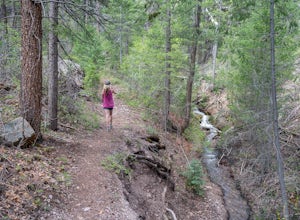
Hike Joe Lott Trail #051
6.5 mi / 3600 ft gainThe Joe Lott Trailhead starts at Castle Rock Campground and follows the Joe Lott Creek which has tall old growth trees to provide shade in the summer. Joe Lott Trail #051 is an out-and-back, so you can go as far as you like and turn around. We went 1.5 miles and had to cross the river 3-times. At...Read more -
Sevier, Utah
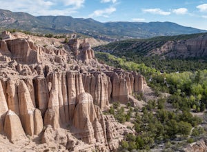
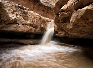
Explore Castle Rock's Slot Canyons
0.25 mi / 200 ft gainSurrounding the Castle Rock Campground on the East and West sides are slot formations that have formed over centuries by wind and rain as it erodes softer earth from the harder rock. There are no designated trails, but footpaths are visible, follow them up and start exploring. This area is part o...Read more -
Monroe, Utah
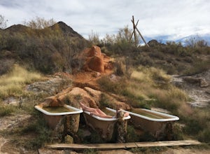
Soak at Mystic Hot Springs in Monroe
4.5The Mystic Hot Springs are truly a hidden gem in Utah. I convinced my boyfriend, after spending the weekend camping in Bryce National Park and mountain biking Thunder Mountain, that we needed to stop and soak on our way home to Park City. It really wasn’t that hard to convince him. I had already ...Read more -
Tropic, Utah
Under the Rim Trail to Swamp Canyon Camp
5.023.79 mi / 5794 ft gainThis trail is just about the only way I would see Bryce Canyon. When we initially drove in it was like we were at Disneyland, with crowds of people everywhere. We soon discovered, however, that very few people enter Bryce Canyon's backcountry. We chose to visit Bryce in July due to it's higher el...Read more -
Bryce, Utah
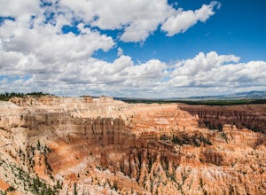
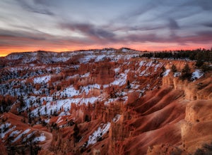
Hiking Bryce Canyon's Rim Trail
4.411.01 mi / 1342 ft gainThis popular hike in Bryce Canyon National Park offers up breathtaking views from just about every step. While it can be as long as 11 miles out and back from Fairyland Point to Bryce Point, multiple pull outs allow driving between the different points providing as long or short as a hike as you ...Read more -
Sevier, Utah
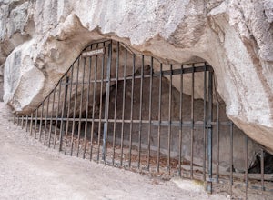
Cave of 100 Hands Trail
0.5 mi / 50 ft gainThe Cave of 100 Hands is a fascinating archeological/historical site that is easy all-ages and strollers. Over a thousand years ago, the valleys along what is now Interstate 70 near Sevier, Utah were home to the largest community of Fremont Indians ever discovered, and the Cave of 100 Hands has s...Read more -
Boulder, Utah
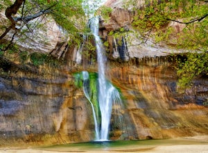
Lower Calf Creek Falls
4.65.74 mi / 515 ft gainThe trailhead for lower calf creek falls begins at the Calf Creek Campground. There is a small fee to park in the campground and a larger fee if you plan on camping in the campground. There is potable water and outhouses at the trailhead but parking can be difficult to find during the spring and ...Read more -
Boulder, Utah
Camp at Deer Creek Campground
5.0Deer Creek campground is off of the Burr Scenic drive and right outside of the lower part of Capitol Reef National Park. This campground is perfect if you are driving from Bryce Canyon to Capitol Reef. There are a total of 7 tent sites in the campground. There are no spots for RVs and no turn aro...Read more -
Torrey, Utah
Capitol Reef's Sulphur Creek Route
4.85.87 mi / 1191 ft gainThis is a point-to-point hike that either requires a shuttle or 3 mile walk along highway 24. The starting trailhead is the Chimney Rock Trailhead which has limited parking. The ending trailhead is the Capitol Reef National Park Visitors Center. We only had one car so I dropped everyone off at th...Read more -
Torrey, Utah
Hike the Chimney Rock Loop, Capitol Reef NP
5.03.46 mi / 909 ft gainFrom the trailhead, the trek starts off pretty step. You will reach a fork near the top of the plateau which starts the official loop. At the junction go left (counterclockwise). The trail offers wonderful views along the way. The loop will bring you on top of "chimney rock" for views over Hwy 24...Read more -
Torrey, Utah
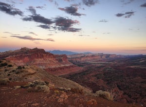
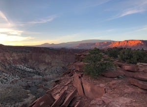
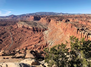
Sunset Point, Capitol Reef NP
2.53 mi / 1047 ft gainSunset Point Trail is an quick and easy 0.4 mile hike near the entrance of the park that provides you with beautiful views of the Capital Reef rim from the opposite side of the park. As the evening descends the setting sun illuminates the red rim rock formations giving them the best photographic ...Read more -
Henrieville, Utah
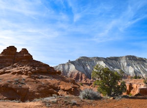
Angel's Palace Trail
5.0Kodachrome Basin State Park is located about 9 miles south of Cannonville which is on Highway 12 - midway between Bryce Canyon National Park and Escalante Petrified Forest State Park. It is slightly out of the way, but well worth the detour.Angel's Palace Trail is an excellent option if you have ...Read more -
Fruita Campground, Utah
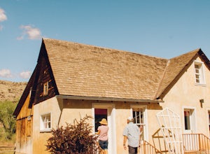
Explore the Orchards and Gifford House of Capitol Reef
4.5Inside Capitol Reef National Park, you’ll find a wonderful treasure. There are acres of orchards inside the park, all of which you are welcome to roam around and explore, you’ll see old farms buildings from the Mormon settlers that came through that are still kept up! Not to mention they have hor...Read more -
Torrey, Utah
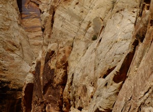
Grand Wash Trail, Capitol Reef National Park
4.37.09 mi / 1644 ft gainThe Grand Wash is a canyon in Capitol Reef National Park featuring several-hundred-foot-tall sandstone walls. The canyon walls are, for the most part, widely spaced, except for a half mile long section of scenic "narrows". Hike to nearby Cassidy Arch if you have extra time. Beware of potentiall...Read more -
Wayne County, Utah
Navajo Knobs
9.11 mi / 2018 ft gainNavajo Knobs is one of Capital Reef’s most spectacular hikes. It brings you, moderately, to one of Capital Reef’s most spectacular viewpoints of the main park’s viewpoints. (Tip: Upon arriving at the park the Ranger recommended this as her favorite hike, and it lived up to the hype! If you’re lo...Read more

