Utah
Looking for the best hiking in Utah? We've got you covered with the top trails, trips, hiking, backpacking, camping and more around Utah. The detailed guides, photos, and reviews are all submitted by the Outbound community.
Top Hiking Spots in and near Utah
-
Bryce, Utah
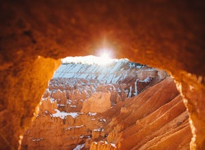
Wall Street Loop in Bryce Canyon
4.73.25 mi / 610 ft gainHoodoos? What's that you say? Hoodoos are these amazing rock formations that Bryce Canyon is famous for. This hike is hands down the best way to see the hoodoos of Bryce Canyon. This hike allows for stunning lookout points from the rim and the experience of hiking through the hoodoos of the cany...Read more -
Salt Lake City, Utah
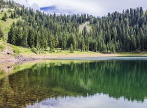
Hike to Big Cottonwood Canyon's Desolation Lake
4.67.4 mi / 1900 ft gainDrive 9 miles into Big Cottonwood Canyon and park at the Mill D North Trailhead (on the left). On the right side of the road, there is a restroom. The trial head begins on the left, there is a visible sign you cannot miss before beginning.The trail is about 7.4 miles round trip, about half way t...Read more -
Draper, Utah
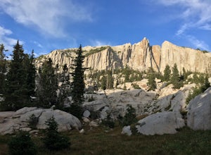
Lone Peak via Jacobs Ladder
4.714.2 mi / 6713 ft gainThe main trail to Lone Peak is via Jacobs Ladder. To get to the start of the trailhead you need to drive on a dirt road for a little bit until you get to a little parking area (start of the road indicated on the map). The trail starts just south of where you park on the dirt road. The Jacobs Lad...Read more -
Moab, Utah
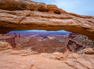
Mesa Arch
4.50.74 mi / 164 ft gainThis is an easy 0.6 mile loop. The hike takes you out to Mesa Arch, which is one of the most famous structures of Canyonlands National Park. If you're out with your camera, you can get amazing shots of the arch with the rugged canyon as your backdrop. Some of the best photos of the arch are at s...Read more -
Green River, Utah
Hiking Little Wild Horse Canyon & Bell Canyon Loop
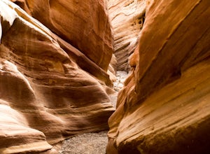
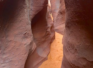
4.58.03 mi / 794 ft gainThe Little Wild Horse Canyon/Bell Canyon loop hike is a classic southern Utah experience. Little Wild Horse Canyon is the better of the two canyons, so if you can only do part of the hike do Little Wild Horse. If you're doing a loop of both, save the best for last and go up Bell Canyon and down L...Read more -
Grand County, Utah
Devils Garden Primitive Loop
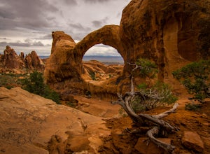
4.95.01 mi / 0 ft gainThis adventure begins at Devils Garden, which is a hotspot in Arches National Park. Most people take the shorter route to see Landscape Arch and then turn around, but the Primitive Loop, while challenging at times, is completely worth it. Starting from Landscape Arch, the loop will take you to se...Read more -
Sandy, Utah
Explore Little Cottonwood Canyon's Lisa Falls
3.8Lisa Falls sits approximately 0.22 miles from Little Cottonwood Canyon Road. While the trail is not long or particularly steep, there are some large step ups that could be difficult for either the very old or very young. Nonetheless, this is a great option for a family outing.Once you arrive at t...Read more -
Toquerville, Utah
Toquerville Falls
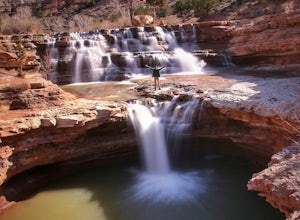
4.811.75 mi / 2044 ft gainToquerville Falls is a hidden waterfall nearby a small town named Toquerville. The road is rugged - saying rugged is kind of an understatement. Medium or high profile 4x4 is recommended. I drove a Toyota FJ Cruiser and it took me about half an hour to get there from Toquerville. The picture doesn...Read more -
Kane County, Utah
Peek-a-Boo and Spooky Canyons
4.75.44 mi / 584 ft gainThis hike is located in the Grand-Staircase-Escalante Monument and the nearest town is Escalante, Utah. From Escalante, you take Hole-in-the-Rock Road 26 miles to the Dry Fork road turn-off. The Hole-in-the-Rock road It is a dirt road, and while I did see some sedans and minivans, I suggest a veh...Read more -
Garfield County, Utah
Golden Cathedral Trail
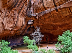
4.59.27 mi / 1398 ft gainFrom highway 12, drive south down the hole in the rock road for about 17 miles to a dirt road on the left that is well marked for Egypt. Follow that dirt road 9.9 miles to the Egypt Trailhead. There is a BLM trail register at the trail head. After that, take one of the numerous ways down to the E...Read more -
Sandy, Utah
Climbing in the Lone Peak Cirque
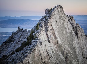
4.0Lone Peak reaches 11,253 feet at its summit. It's alpine feel is unique as it stands above the busy city below. While this gem is one of the highlights in the Wasatch range, it must be earned. A long steep approach, best done at night in the summer months, deposits you in the high meadow surround...Read more -
Logan, Utah
Hike to the Wind Caves, UT
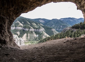
4.53.7 mi / 1000 ft gainAs you drive up Logan Canyon, you'll see the trailhead on the left side of the road, just after Guinavah-Malibu Campground. It's a fairly steep hike, but also very well maintained. The Wind Caves are probably the most popular hike in Northern Utah and for a good reason. As you can see in the pict...Read more -
Provo, Utah
Timpanogos Basin via Timpooneke Trail
5.09.78 mi / 3015 ft gainThe wildflowers are normally at their peak from mid to end of July or the beginning of August. Depending on the amount of snow that year and how wet of a spring we had it could vary a little bit. But anytime during the mid summer you will encounter amazing Indian Paintbrush, Lupine, and other co...Read more -
Salt Lake City, Utah
Salt Lake Overlook via Desolation Trail
4.14.76 mi / 1729 ft gainThis popular trail follows a portion of the Desolation Trail leaving from Mill Creek Canyon. The trail to the overlook is 4.75 miles round trip with a 1700 ft elevation gain. You begin at the Desolation Trailhead and then turn around once you have a view of the Salt Lake Valley. It is a perfect h...Read more -
Corinne, Utah
Camp by the Spiral Jetty
5.0This spot is pretty wild and barren. Head there with an open mind and be ready to have an amazing experience. Some things to look out for: The Spiral Jetty is land art itselfThere's a guest book, which is kept in a green bag under the rocks near the parking lot. This book has the invoice for the ...Read more -
Provo, Utah
Upper Falls
2.70.54 mi / 423 ft gainComing from Provo, at about 2.5 miles make a right hand turn for Nunn's Park/ Bridal Veil. Go straight through the intersections and pass Bridal Veil Falls (on your right) and continue until you see a park on your right (Upper Falls Park). Park here and cross the bridge over the creek and then fo...Read more

