Kane County, Utah
Looking for the best photography in Kane County? We've got you covered with the top trails, trips, hiking, backpacking, camping and more around Kane County. The detailed guides, photos, and reviews are all submitted by the Outbound community.
Top Photography Spots in and near Kane County
-
Kanab, Utah
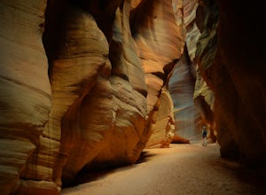
Hike Buckskin Gulch, Vermillion Cliffs Wilderness
4.615 miBuckskin Gulch is a natural wonder. At 15 miles long it is the longest slot canyon in the world. It sometimes is as narrow as 2ft. Because of the nature of this canyon and Utah topography this canyon is subject to deadly flash flood if it rains anywhere along the headwaters. Be sure to check in w...Read more -
Marble Canyon, Utah
Hike the Buckskin Mountain Passage from Stateline Campground on the Arizona Trail
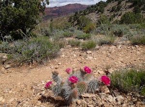
8 mi / 1400 ft gainDepending how you approach this 800 mile trail, I did the first 4 miles or last 4 miles as an out and back from Stateline Campground on the Utah/Arizona state line and the border of Vermilion Cliffs National Monument. This section of the trail does not pass through Vermilion Cliffs N.M. b...Read more -
Lake Powell, Utah
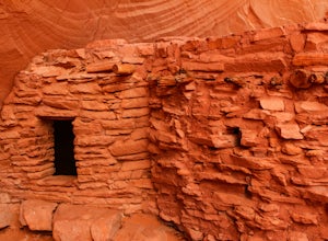
Hike to the Ancestral Puebloan Ruins in Forgotten Canyon
4 mi / 200 ft gainThe Ancestral Puebloan Ruins found up Forgotten Canyon can only be described as awe inspiring and humbling. The small adobe brick homes are known as the Defiance House. It is believed that there were a couple of families (15-20 people) who dwelled in these homes circa 1200 A.D. These ruins can ...Read more -
Boulder, Utah
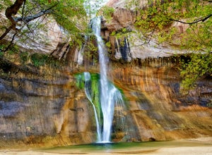
Lower Calf Creek Falls
4.65.74 mi / 515 ft gainThe trailhead for lower calf creek falls begins at the Calf Creek Campground. There is a small fee to park in the campground and a larger fee if you plan on camping in the campground. There is potable water and outhouses at the trailhead but parking can be difficult to find during the spring and ...Read more -
Escalante, Utah
Backpack the Escalante River
14 mi / 400 ft gainThe Escalante River trail is an easily accessible, moderately strenuous hike within Grand Staircase-Escalante National Monument. The national monument encompasses over 2 million acres of wilderness, choc-full of large canyons, narrow slot canyons, rivers, hoodoos, arches, natural bridges and more...Read more -
Henrieville, Utah
Angel's Palace Trail
5.0Kodachrome Basin State Park is located about 9 miles south of Cannonville which is on Highway 12 - midway between Bryce Canyon National Park and Escalante Petrified Forest State Park. It is slightly out of the way, but well worth the detour.Angel's Palace Trail is an excellent option if you have ...Read more -
Lake Powell, Utah
Hike Moqui Canyon
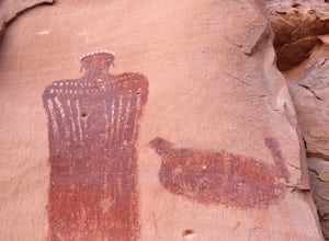
5.011.1 mi / 1614 ft gainHidden in Moqui Canyon is an ancient petroglyph site, with pictures of animals such as bighorn sheep. The long, shallow alcove hosting the petroglyphs was once an Ancestral Pueblo dwelling.Read more

