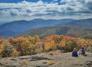
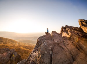
Amherst, Virginia
Top Spots in and near Amherst
-
James River Heritage Trail, Virginia
Run on the Seven Rails Trail
3 mi / 117 ft gainEasily accessible from the Percival's Island Natural Area parking lot, the James River Heritage Trail and adjoining Seven Rails Trail are an easy escape from downtown Lynchburg. From the parking lot, follow the trail signs toward Percival's Island, which will almost immediately take you across a...Read more -
Amherst, Virginia
Mount Pleasant Loop
4.65.98 mi / 1427 ft gainFrom the Mount Pleasant Parking Area, take the blue blazed Pompey Mountain Trail that is just beyond the horse gate. As it's a loop, you can start at either entrance, but I prefer heading left to get the longer leg of the hike before the summit (always better to have an easy journey down in the a...Read more -
Vesuvius, Virginia
Cole Mountain Loop
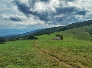
4.85.89 mi / 1280 ft gainThe large open meadow at the summit of Cole Mountain is a unique and breathtaking experience that is worth the 5.8 mile hike. Cole Mountain is frequently referred to as Cold Mountain, but the official name listed by the United States Geological Survey is the former. This hike is in the George W...Read more -
Lovingston, Virginia
Fortune's Cove Via Yellow Trail
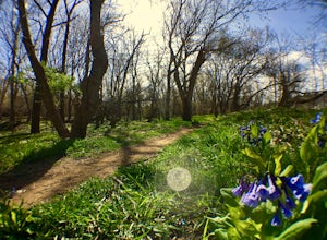
3.05.02 mi / 1486 ft gainFortune's Cove via Yellow Trail is a loop trail where you may see beautiful wildflowers located near Lovingston, Virginia.Read more -
Amherst, Virginia
Swim at Panther Falls
5.00.7 mi / -100 ft gainFrom Lexington or Buena Vista, Virginia, take Rt. 60 east for several miles. As soon as you pass under the Blue Ridge Parkway, look for a gravel road on your right marked Panther Falls Road. This is a fairly bumpy gravel road, so take it easy. Follow Panther Falls Road down the mountain for just ...Read more -
Vesuvius, Virginia
Photograph Statons Creek Falls
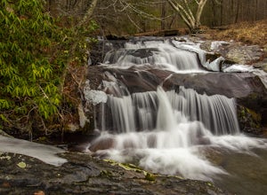
4.0To view this waterfall, hiking is not necessarily involved since the top of it is next to a small parking area along CR-633. If you feel like scrambling and bushwhacking, it’s possible to make your way down either side to small pools and cascades with a total drop of about 100 feet. The terrain i...Read more -
Montebello, Virginia
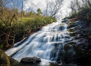
Hike to Wigwam Falls
2.7The Yankee Horse Ridge Parking Area is located at milepost 34.4 on the Blue Ridge Parkway. From the parking area, follow the rock steps to the railroad tracks and turn right. Follow the tracks the stream and turn left. Proceed on the path to the bridge in front of the 30 ft. waterfall.Read more -
Tyro, Virginia
The Priest via Shoe Creek Trail
4.43.01 mi / 843 ft gainStarting at the Upper Crabtree Falls Parking area, continue up the "road" on Shoe Creek Trail for half a mile until you come to the intersection of the Appalachian Trail. That will be the steepest part of the hike. Look for two rocks on either side of the trail with white blazes on them. Take a l...Read more -
Tyro, Virginia
Spy Rock via Cash Hollow
4.95.71 mi / 1191 ft gainThe hike is part of the George Washington National Forest, and can easily be combined with nearby Crabtree Falls (300ft cascading waterfall with a hike to the top). The entire trip is 5.7 miles, and there are nice campsites at the base of the summit (no water source) if you want to add on this pr...Read more -
Meadows Lane, Virginia
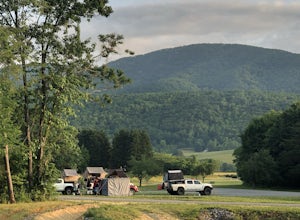
Camp near Crabtree Meadows in GWNF
5.0As stated, the campsites are free. They do not require reservations or permits and are on a first come, first served basis. Regardless of which direction you're coming from, you will be traveling on Crabtree Falls Highway until reaching Meadows Lane. This is a gravel access road that requires 4WD...Read more -
Rustburg, Virginia
Explore the Hydaway Outdoor Recreation Center
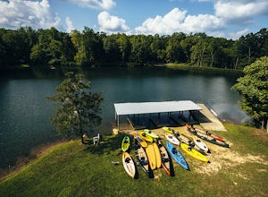
4.3If you love everything outdoors, the Hydaway Outdoor Recreation Center is the place for you! You can do almost any activity you can think of here. If you aren't affiliated with Liberty University, you can't rent their equipment, but you can bring you own to use. The main attraction is the lake wh...Read more -
Tyro, Virginia
Crabtree Falls
4.53.05 mi / 1161 ft gainThis is an approximately 3 mile roundtrip hike. It will usually take anywhere from 1-2 hours to get up, depending on your experience and who you have with you, and about an hour down. As you come off of route 56, you will come up to the trailhead where there is a large parking area with restroom...Read more -
Big Island, Virginia
Hike to Little and Big Rocky Row
5.010.8 mi / 2700 ft gainStarting at the James River Footbridge, which is the longest foot traffic only bridge on the entire Appalachian Trail. Head north on the Appalachian Trail. You will quickly cross over Rt. 501. After a mile of hiking through the woods skirting the Rocky Row Run stream, you will cross over Forest ...Read more -
Roseland, Virginia
Camp at Devil’s Backbone Basecamp
5.0This place has it all : a bomb fire pit, live music, distillery, restaurant, 48 taps, mountain views, and more! Not to mention, it’s in a great location for exploring. It’s close to tons of breweries, wineries, and cideries, it’s just a few miles from the Appalachian trail, and close to Shenando...Read more -
37.8962002590409,-79.0456008911133, Virginia
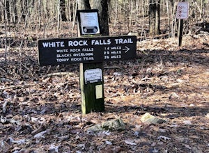
White Rock Falls Trail
4.02.82 mi / 558 ft gainWhite Rock Falls Trail is an out-and-back trail that takes you by a waterfall located near Montebello, Virginia.Read more -
Vesuvius, Virginia
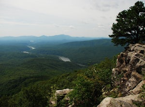
Photograph 20 Minute Cliff Overlook
4.5Located at mile marker 19 along the Blue Ridge Parkway, 20 Minute Cliff Overlook is super easy to access and has an amazing 180 degree panoramic view. Looking West over the Blue Ridge Mountains, this 2,715 foot overlook has a great view of the Priest to the South, Maintop Mountain and Fork Mounta...Read more
Top Activities
Camping and Lodging in Amherst
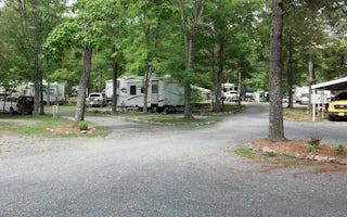
Monroe, Virginia
Lynchburg / Blue Ridge Parkway KOA Holiday
The famed Blue Ridge Parkway is right outside your doorway at this KOA. Scenic hikes, waterfalls, caverns and historic sites lie within a...
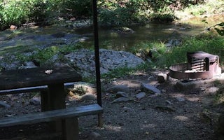
Monroe, Virginia
Otter Creek Campground
Overview
As Otter Creek descends to the James River, the Blue Ridge Parkway dips to its lowest elevation, only 649 feet above sea level. ...
Lyndhurst, Virginia
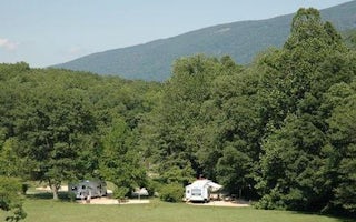
Sherando Lake Recreation Area Family Camping
Overview
Sherando Lake Recreation Area's Family Campground provides an ideal camping destination. It is situated in the Blue Ridge Mounta...
Lyndhurst, Virginia
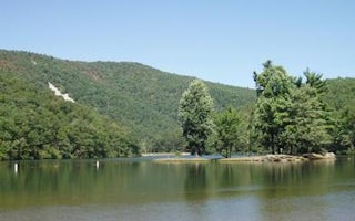
Sherando Lake Group Picnic Shelter
Overview
Sherando Lake Group Picnic Shelter, also known as the Williams Branch Group Picnic Shelter is a part of the Sherando Lake Recrea...
Lyndhurst, Virginia
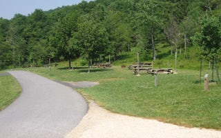
Sherando Lake Group Camp
Overview
Sherando Lake Group Camp is a part of the Sherando Lake Recreation Area and is popular with family groups, Boy and Girl Scouts, ...
Natural Bridge Station, Virginia
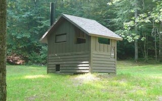
Hopper Creek Group Camp
Overview
Hopper Creek Group Camp offers a rustic atmosphere under the trees for group camping. Nestled in the Blue Ridge Mountains, the a...

