Damascus, Virginia
Top Spots in and near Damascus
-
Elizabethton, Tennessee
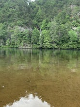
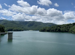
Kayak at Wilbur dam
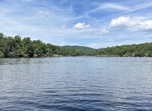
Great spot for kayaking! There is a small waterfall across the lake. The water is very still. Great for kayaking. The spot is somewhat hidden so not many people know about it. There are never many people there. It is a beautiful lake with amazing views. There is also a small picnic area in front ...Read more -
Bluff City, Tennessee
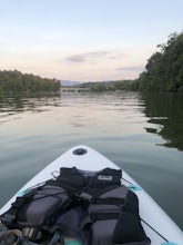
Kayak or SUP the South Fork
5.0There is a mud parking area on Lakeview Drive underneath the 11E bridges with a cleared mud parking area with access to the the South Fork of the Holston River. There is a gradual drop to the water where kayaks, canoes, or SUPs can be placed in the water. To the east, the river is more narrow at ...Read more -
Hampton, Tennessee
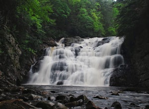
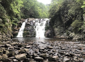
Hike to Laurel Fork Falls
4.62.6 mi / 600 ft gainFrom Hampton, Tennessee, take US-321S for about 3.5 miles. Turn right onto Dennis Cove Road and travel for 4 miles on this steep and very curvy mountain road. The trailhead is where the Appalachian Trail (AT) crosses the road at a small gravel lot on the left. Take the AT north on the trail lea...Read more -
Hampton, Tennessee
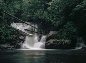
Hike and Traverse the Cables to Dennis Cove Falls
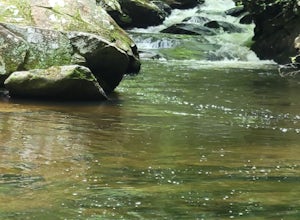
5.03.2 mi / 300 ft gainThe Hike to Dennis Cove Falls includes three water crossings and passes several small waterfalls. Sturdy cables spanning the width of the water crossings provide a fun way of traversing the creek without wading. It is completely possible to wade through the creek while holding onto the cables for...Read more -
Hampton, Tennessee
Appalachian Trail: Dennis Cove to Watauga Lake
8.08 mi / 1955 ft gainAppalachian Trail: Dennis Cove to Watauga Lake is a point-to-point trail that takes you by a waterfall located near Hampton, Tennessee.Read more -
Hampton, Tennessee
Appalachian Trail: Dennis Cove to US 19E
21.27 mi / 4843 ft gainAppalachian Trail: Dennis Cove to US 19E is a point-to-point trail that takes you through a nice forest located near Roan Mountain, Tennessee.Read more -
Hampton, Tennessee
Laurel Falls via Appalachian Trail
5.02.43 mi / 449 ft gainLaurel Falls via Appalachian Trail is an out-and-back trail that takes you by a waterfall located near Hampton, Tennessee.Read more -
Elk Park, North Carolina
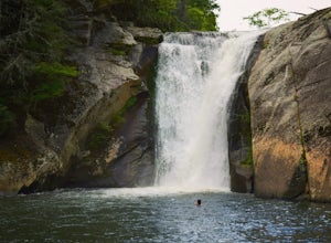
Elk River Falls
4.60.35 mi / 62 ft gainThe coordinates for the parking area are 36.198288, -81.970137. You'll see a parking area that's dirt/gravel on the right side of the road. At the far end of the parking lot is a sign that says Elk River Falls with an arrow pointing up the hill. From this point its about a .2 mile long walk to th...Read more -
Elk Creek, Virginia
Camp at Comers Rock Recreation Area
1 miI didn't have any issues putting "Comers Rock Recreation Area" into my phone's GPS (Waze) and arriving exactly where I was supposed to. When you turn off US 21 (aka the Grayson Turnpike/Elk Creek Parkway) to Jefferson National Forest Road 57, you'll see a sign a parking lot that says "road not su...Read more -
Purlear, North Carolina
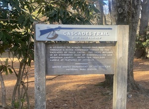
Cascades Trail
5.00.86 mi / 220 ft gainCascades Trail is an out-and-back trail that takes you by a waterfall located near Deep Gap, North Carolina.Read more -
Purlear, North Carolina
The Lump Trail
4.00.27 mi / 82 ft gainThe Lump Trail is an out-and-back trail where you may see beautiful wildflowers located near Purlear, North Carolina.Read more -
Appalachian Trail, Tennessee
Jones Falls via Appalachian Trail
5.010.65 mi / 2484 ft gainStarting at the Appalachian Trail (AT) trailhead at US 19E, follow the AT north for 3.1 miles until you reach the intersection of the trail with Buck Mountain Rd. This section of the AT has an elevation gain of almost 1000 ft, and large sections of trail with significant meadows offering magnific...Read more -
Blowing Rock, North Carolina
Boone Fork Trail
4.05.06 mi / 1030 ft gainBoone Fork Trail is a loop trail that takes you by a waterfall located near Boone, North Carolina.Read more -
Blowing Rock, North Carolina
Price Lake Loop Trail
5.02.23 mi / 387 ft gainPrice Lake Loop Trail is a loop trail that takes you by a lake located near Blowing Rock, North Carolina.Read more -
Blowing Rock, North Carolina
Camp and Paddle at Price Lake
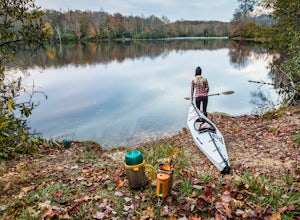
This campground is all kinds of amazing, and if you get one of the sites in the A loop, you will have lakefront property (just be warned, if I see you there, I'll have to crash with you ;-). Price Lake is a gorgeous lake right off the Blue Ridge Parkway in North Carolina and perfect for canoeing...Read more -
Linville, North Carolina
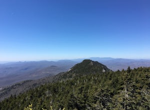
Profile Trail to Calloway Peak
5.06.2 mi / 2300 ft gainIf you're looking for a challenge and hoping to escape the crowds at Grandfather Mountain, this is the hike for you. Climbing up the back side of the mountain (opposite the famed mile-high swinging bridge) this trail is fee-free and easy-to-access with its own parking lot. The trail, marked w...Read more

