Auburn, Washington
Top Spots in and near Auburn
-
Carbonado, Washington
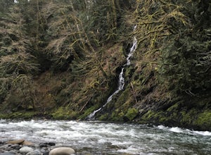
Hike the Upper Foothills Trail along the Carbon River
10 mi / 30 ft gainThe upper Foothills Trail from the Fairfax Bridge to Manley Moore can be hiked starting from either end as an "out and back" hike or a "point to point" by shuttling with two vehicles. Starting from the upper end of the trail you begin by walking under the Kolisch Rd. Bridge, which has the Manley...Read more -
Seattle, Washington
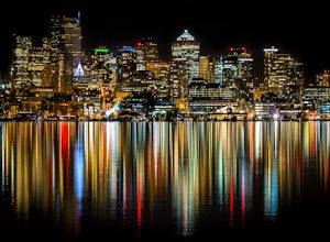
Night Photography at Gasworks Park
4.8Everyone knows Gasworks Park for its awesome views of downtown Seattle. A great spot during anytime of the year, the park is even beautiful at night, when you can see reflections of the city lights in Lake Union. Make sure you bring a tripod to capture some awesome long exposure images!During the...Read more -
Snoqualmie, Washington
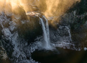
Snoqualmie Falls
4.21.4 mi / 509 ft gainSnoqualmie Falls is one of the most popular waterfalls in Washington. The waterfall is almost 270 feet tall and ranges in width all the way up to 150 feet when the water is really running. On sunny, warm days, it can be a little overrun with tourists. Figure out where you want to get your photo ...Read more -
North Bend, Washington
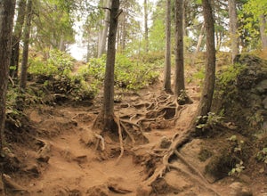
Little Si
3.64.01 mi / 1250 ft gainLittle Si, neighbor to the bigger Mount Si is a decent hike for beginners and families with younger children. It is 4.7 miles round trip (including Boulder Garden Loop - 1.5 miles) gaining 1300ft in elevation - Discover Pass required. This trail is very popular, so if you want seclusion avoid thi...Read more -
Seattle, Washington
Lighthouse and Discovery Park Loop
5.04.27 mi / 384 ft gainThis Beautiful park in Seattle offers up gorgeous views of Puget Sound. The park has an easy to follow loop, which is about 4.5 miles. There are easy offshoots of the loop if you're looking to get a little extra distance. Keep an eye out for Hidden Valley Trail and North Beach Trail if you're up ...Read more -
Seattle, Washington
Loop Trail - Discovery Park
3.5 mi / 200 ft gainThe Loop Trail in Discovery Park offers a nice respite from the city, with views of the Puget Sound, open fields and forest. Given it's a loop, there are a couple of different options to begin the hike. The most common is to park at the East Visitor Center Parking lot and take a short connector t...Read more -
Seattle, Washington
Discovery Park Beach
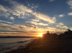
4.32.39 mi / 535 ft gainDiscovery Park and its beach area great for walking, running, photography, and taking in a sunset. If you want to put your feet in the sand, head down to the western most part of the park. This beach is a sand beach with an iconic lighthouse at the end. Dirftwood also washes up on the beach provi...Read more -
Seattle, Washington
Swim at Green Lake
2.3Green Lake is one of Seattle’s most beloved parks. Its expanse of water and green space in the center of a dense urban neighborhood draws thousands of people daily from all over the city. The park serves as a natural preserve for hundreds of species of trees and plants, as well as numerous birds ...Read more -
Seattle, Washington
Run The Green Lake Park Loop
4.0Looping around a freshwater lake surrounded by tranquil natural scenery, Green Lake Park trail is considered by many to be Seattle’s go-to running spot. I love it because it’s an urban run that doesn’t feel like one. It’s especially popular with beginning runners and the after-work/weekend crowd....Read more -
North Bend, Washington
Drive Along the Middle Fork Snoqualmie River
5.0Some days you don't need to tackle a grueling summit or long mileage loop, just getting outside the city is enough. Driving forest roads is always an adventure and pays its dividend in seclusion, viewpoints, and peacefulness. The Middle Fork Snoqualmie (FR56) offers a photo enthusiast numerous pi...Read more -
North Bend, Washington
Twin Falls
3.32.51 mi / 778 ft gainFor a portion of this 3-mile hike, you'll trek next to the South Fork Snoqualmie River, so take in the peaceful sound of the river running. Along the trail runs a river, where massive boulders create wading pools of icy water for warm summer days. At 1.5 miles, you'll reach a viewpoint bridge, wh...Read more -
North Bend, Washington
Mt. Si
4.67.91 mi / 3241 ft gainMount Si is probably one of the most well trekked hikes around the Seattle area, but one that any hiker-new to the game or an old pro-should experience as least once. I usually use it as a starter hike to kick start the season and highly recommend you get an early start on this one as the further...Read more -
Kirkland, Washington
Forbes Creek Stairs
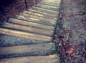
3.00.19 mi / 92 ft gainAll benefits of a stair master paired with fresh air is the perfect recipe for a northwest workout. 210 wooden railroad ties make up a staircase that will test your endurance, build strength and get you sweating in no time. The stairs are open year round, 24 hours a day and offer parking for abo...Read more -
Carbonado, Washington
Summit Lake
4.56.13 mi / 1499 ft gainSummit Lake, nestled in a small basin just north of Mt. Rainier National Park in the Clearwater Wilderness, has everything a hiker could want in a day-hike or easy overnight backpack. The views, the well-maintained trail, and a perfect distance make this hike a must-do for anybody in the Pacific ...Read more -
Carbonado, Washington
Hike Bearhead Mountain
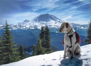
5.06 mi / 1800 ft gainFormerly the site of an old fire lookout, Bearhead Mountain located in the Clearwater Wilderness, provides great unobstructed views of the north side of Mount Rainier, Little Tahoma, and many other surrounding Cascade mountain peaks. In the summer months you are likely to encounter great wildflow...Read more -
King County, Washington
Teneriffe Falls (Kamikaze Falls)
4.55.64 mi / 1732 ft gainThe lesser known Mt Si Rd trail starts off as a relatively flat road. This continues for two miles until you reach the Teneriffe Falls sign. Upon turning right at this junction, the terrain takes a shift and the incline steepens. This is where most of the elevation is gained. The rest of the way...Read more

