Carbonado, Washington
Looking for the best hiking in Carbonado? We've got you covered with the top trails, trips, hiking, backpacking, camping and more around Carbonado. The detailed guides, photos, and reviews are all submitted by the Outbound community.
Top Hiking Spots in and near Carbonado
-
North Bend, Washington
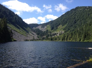
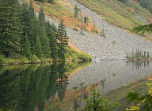
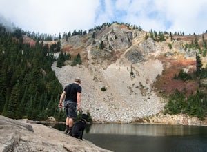
Talapus & Olallie Lakes
5.71 mi / 1266 ft gainWith a moderate grade on a wide trail, the hike to Talapus Lake is the perfect introduction to the outdoors for hikers and beginning backpackers. Upon arrival at Talapus, break out lunch or pitch camp. Either way, you can cool off in the large lake. If you feel like pressing on, Ollalie Lake is j...Read more -
North Bend, Washington
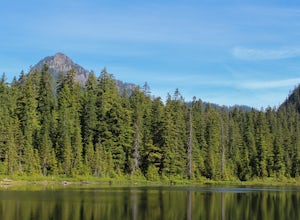
Talapus Lake Trail
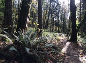
3.43 mi / 781 ft gainThe trail up to Talapus Lake is well graded and relatively short, at only about 2.5 miles in length RT. The trail starts off on a wide old road cut and then veers off into the old growth woods in a slowly winding uphill tack. A few mellow switch backs deliver you to the top, where a short stretch...Read more -
Snoqualmie, Washington
Snoqualmie Falls
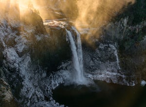
4.21.4 mi / 509 ft gainSnoqualmie Falls is one of the most popular waterfalls in Washington. The waterfall is almost 270 feet tall and ranges in width all the way up to 150 feet when the water is really running. On sunny, warm days, it can be a little overrun with tourists. Figure out where you want to get your photo ...Read more -
Issaquah, Washington
Grand Ridge Trail
4.07.51 mi / 1125 ft gainThe trail system in the 1,300 acre Grand Ridge Park can currently can be accessed from two lots: High Point and Central Park, with a new lot at Duthie Hill still under construction. To get to the High Point lot take exit 20 off of I-90 (coming from Seattle), take a left and pass under the freewa...Read more -
North Bend, Washington
Granite Mountain
4.27.92 mi / 3999 ft gainThe trek up Granite Mountain is a strenuous and fairly steep hike located east of Seattle and west of Snoqualmie pass off of I-90. Take exit 47 and turn North to a T intersection, park at the Pratt lake Trailhead at approximately 1860' and right beside I-90. The trail splits just after the first...Read more -
North Bend, Washington
Overnight Hike to Pratt Lake
4.511 mi / 2300 ft gainThis overnight hike is definitely a challenge with 2,300 feet of elevation gain but all that huffing and puffing will be worth it when you reach the beautiful Pratt Lake Basin.The trail can be a bit busy in the first mile but most of the traffic is from day hikers on their way up the popular Gran...Read more -
North Bend, Washington
Annette Lake
4.57.2 mi / 1923 ft gainFrom Seattle drive east on I-90 to exit 47 (Asahel Curtis/Denny Creek). Turn right from the off-ramp and continue 0.25 mile, then turn left on Forest Road 5590. You'll find the parking area in 0.3 mile. Between the thick second-growth forest stands and the high alpine lake, the trail rolls along...Read more -
Snoqualmie Pass, Washington
Hike Mount Catherine
5.03 mi / 1300 ft gainStart off on the extremely rough Forest Service 9070 road. Follow this for just over 4 miles until you see a sign for trail #1348 on the right. There is only enough room for a couple cars at the trailhead.You start off climbing right away, covering 800 feet of elevation in the first 0.80 miles of...Read more -
North Bend, Washington
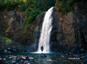
Franklin Falls via Wagon Road Trail
4.42.07 mi / 331 ft gainThis is an easy 2 mile roundtrip hike that leads to beautiful Franklin Falls. The trail is very well maintained and is easy for even young hikers to travel. The trail goes through the forest and along a gorge as you gain 400 feet in elevation to the falls. There are a few places you can scramble...Read more -
North Bend, Washington
Melakwa Lakes via Denny Creek Trail
4.68.84 mi / 2615 ft gainThis hike has it all: old-growth forests, rivers, waterfalls, alpine lakes, views, peaks, and so on. The hike starts from near Denny Creek Campground in between the separate I-90 viaducts. Almost immediately, you will cross over a walk bridge over Denny Creek's waterfalls, and then eventually und...Read more -
North Bend, Washington
Kaleetan Peak
9 mi / 2200 ft gainInitial note: because this is an alpine scramble, do your research before tackling this adventure, including learning the correct route and the current conditions (such as any early- or late-season snow). From the Denny Creek Trailhead, take the Denny Creek trail just over 4 miles to Melakwa Lak...Read more -
Packwood, Washington
Hike and Fish the Tatoosh Lakes
7 miLocated just south of Mountain Rainier National Park, Tatoosh Lakes and Tatoosh Wilderness area are a great hiking destination to find scenic views, wildflowers, wildlife, and two beautiful alpine lakes.Tatoosh Trail #161 does not waste any time getting down to business as it ascends almost 3000 ...Read more -
North Bend, Washington
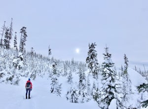
Snowshoe Kendall Peak Lakes
9 mi / 2000 ft gainThis hike starts at the Gold Creek sno-park. You need the sno-park and discover pass for this. Park on the side of the road and start hiking up from there. Hike road up and up and up! It's very compact snow (at the moment, that will change fast with new snow coming in). We ended up leaving our sn...Read more -
Snoqualmie Pass, Washington
Hike to Margaret Lake
6 mi / 1800 ft gainStarting at an elevation of 3,300 feet, begin the hike on a steep gravel road for 1/4 of a mile. Take a left onto a dirt road that will lead to an area of clear cuts and windy switchbacks.As daunting as this may seem, don't be discouraged. On a clear day, the surrounding peaks of Snoqualmie Pass ...Read more -
North Bend, Washington
Lodge Lake via PCT
3.53.79 mi / 932 ft gainAs you begin your hike up to Lodge Lake you will pass through a small forest. After about .5 miles you will come out into the open. Simply follow the path under the chairlifts as you cut across the mountain. In the summer when there is no snow on the ground you can see lots of wildflowers. If you...Read more -
Randle, Washington
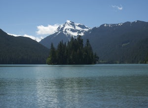
Hike to Packwood Lake
9.2 mi / 1535 ft gainThis is a relatively tame hike through the beautiful Gifford Pinchot National Forest, winding to the Goat Rocks Wilderness. With only 600 feet of elevation gain over 4.6 miles in, I would recommend it for hiking or trail running. Keep in mind this trail is open to horses and other stock so you ma...Read more

