Darrington, Washington
Looking for the best hiking in Darrington? We've got you covered with the top trails, trips, hiking, backpacking, camping and more around Darrington. The detailed guides, photos, and reviews are all submitted by the Outbound community.
Top Hiking Spots in and near Darrington
-
Deming, Washington
Bike to Wells Creek Falls
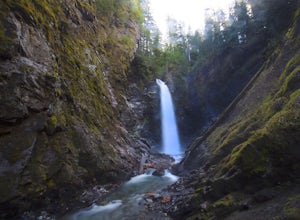
Wells Creek Falls is an incredible waterfall nestled in a tight canyon below Mt. Baker. The falls plunges 93-ft. over a volcanic cliff face and envelops the small amphitheater below in a cloud of mist. From there, Wells Creeks snakes through the canyon and enters Bar Creek on the opposite side of...Read more -
Edmonds, Washington
Hike to Meadowdale Beach
5.0If you plan to hike to this beach on the weekend, arrive early because the parking lot fills up fast. From the trailhead, hike down through an old forest along a stream to reach Meadowdale Beach Park. Take in the sounds of birds, wildlife, and the stream adjacent to the trail. At one mile you wil...Read more -
Leavenworth, Washington
Scenic Hot Springs
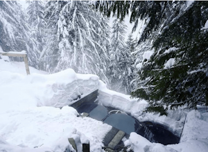
3.21 mi / 1135 ft gainScenic Hot Springs is a privately owned hot spring located near Stevens Pass outside of Leavenworth, Washington. To access the three steaming pools, please visit ScenicHotSprings.com to make a reservation. Reservations are required. The three tubs have varying temperatures and only 10 people ar...Read more -
Leavenworth, Washington
Hike and Snowshoe to Lanham Lake
4.03.2 mi / 1000 ft gainThis short but sweet snowshoe starts at 3000ft in the Stevens Pass Nordic Center parking lot. The trail head instantly puts you into the trees next to a groomed trail for skiers. Micro spikes will come in handy here, as the path can be a little icy and dusted with snow. After a short little climb...Read more -
Winthrop, Washington
Hike to Easy Pass
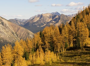
5.07.81 mi / 2844 ft gainIf you're looking for a beautiful fall hike with breathtaking views and acres of golden larches, this is it. This trail provides a good workout along with miles of photogenic scenery, including glacier views at the top, making the climb well worth the effort. Easy Pass is also (arguably) one of t...Read more -
Skykomish, Washington
Jade Lake via the Necklace Valley Trail
15.26 mi / 3323 ft gainThis hike is definitely one of our all-time favorites. The first time we did it was in August 2015 and due to the exceptionally mild winter that year, fall was already beginning to show its colors. We wanted to see it again in the springtime when everything was in bloom, so we decided to go again...Read more -
Skykomish, Washington
Tank Lakes via Necklace Valley
18.94 mi / 4721 ft gainTucked high in the heart of the Alpine Lakes Wilderness, Tank Lakes has everything you could ask for out of a Washington hike. You start low at the Necklace Valley trailhead just south of Skykomish along Highway 2 and meander five miles to a giant log crossing of the East Fork Foss River. From h...Read more -
Skykomish, Washington
Pacific Crest Trail's Section J: Stevens Pass to Snoqualmie Pass
70.27 mi / 14911 ft gainThis is the Section J hike of the Pacific Crest Trail between Stevens and Snoqualmie Pass. It is about a 70 mile hike, and I started near Stevens Pass heading South. The PCT starts at the Stevens Pass Ski Resort off of Highway 2. The trail starts out under chairlifts and through ski runs – I chos...Read more -
Skykomish, Washington
Climb Slippery Slab Tower
13 mi / 4200 ft gainStart out at the Tunnel Creek trailhead. You will follow the trail for about 1.6 miles until you reach Hope Lake and the PCT. From here, you want to travel south along the PCT.For the next 3/4 of a mile, you will hike up switchbacks until you reach the saddle, where it will start to level out a b...Read more -
Winthrop, Washington
Heather-Maple Pass Loop
5.07.5 mi / 2185 ft gainNote to any hikers taking on this trail, this is a non-repeating trail meaning it goes in a big loop. The trailhead has 2 trail points of entrance. To the right (the pathway that is not paved) is the counter-clockwise route, a little less steep and more scenic at the start. To the left, the trail...Read more -
Winthrop, Washington
Hike Cutthroat Pass from Rainy Pass Trailhead
10 mi / 2000 ft gainThis hike begins at the parking area across from the Rainy Pass Trail Head. It is on the north side of Route 20. There is a larger parking area a little further down Route 20. The Pacific Crest Trail (PCT) is 2600 miles long and links the borders of Canada and Mexico as it travels through some of...Read more -
Winthrop, Washington
Snowshoe Heather Maple Loop Pass
7.2 mi / 2000 ft gainIf you have a whole day, then this trip is for you. Being three hours from Seattle has its perks. You get the views without the crowds. This hike is perfect for snowshoeing while the road remains open. Once closed it becomes extremely hard to get to, so make sure you get there while you can. Bein...Read more -
Pacific Crest Trail, Washington
Summit Black Peak
5.010 mi / 4400 ft gainStarting at the Heather-Maple Pass Loop Trailhead, jump onto the trail that will take you counter-clockwise along the loop. After about 1.25 miles, you will come to a split in the trail, take the right path and continue for just under a mile until you reach Heather Pass. Off to the right there ar...Read more -
Chelan County, Washington
Backpack at Wing Lake (North Cascades)
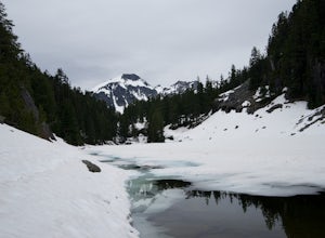
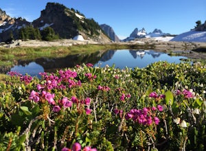
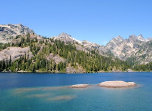
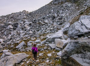
5.012 mi / 2652 ft gainFrom Rainy Pass, take the trail to Ann Lake (pictured with island and wildflowers). About 1 mile into hike, you'll reach a fork. Take the right trail to Heather Pass. From Heather Pass, take boot trail through talus field to Lewis Lake (pictured with green water and drift wood in foreground). Onc...Read more -
Chelan County, Washington
Camp at Snowy Lakes
22 mi / 3550 ft gainTake Hwy 20 to Rainy Pass, and park at the trailhead on the east side of the highway. Begin on the Pacific Crest Trail (PCT), heading towards Cutthroat Pass.The trail winds it's way towards the pass at a gentle grade over 5 miles. As the trail ascends, you'll leave the forest behind as you enter ...Read more -
Rainy Pass, Washington
Black Peak's South Ridge
3.07 mi / 4700 ft gainStarting at Rainy Pass trailhead, you'll proceed to skirt high above Lake Ann on a marvelously maintained trail. Without realizing you're about to arrive at a pass, you'll come to Heather Pass, where you'll need to take a right. Continuing straight is also a popular hike, especially during peak l...Read more

