Enumclaw, Washington
Looking for the best hiking in Enumclaw? We've got you covered with the top trails, trips, hiking, backpacking, camping and more around Enumclaw. The detailed guides, photos, and reviews are all submitted by the Outbound community.
Top Hiking Spots in and near Enumclaw
-
Ashford, Washington
Hike to Camp Muir
4.58 mi / 4640 ft gainPack your sunglasses because this is one snowy hike! Camp Muir is a perfect camping or extended day hike destination for anyone who wants to experience the enchantment of Mount Rainier without committing to the summit. Starting at the Paradise trailhead at almost 4700 feet up, a steep and extreme...Read more -
Ashford, Washington
Mt. Rainier via Disappointment Cleaver
4.314.9 mi / 8993 ft gainMt. Rainier is a technical climb on all routes and is covered with glaciers all four seasons. It is not a mountain to learn mountaineering unless you hire a guide service who will help guide you up the mountain. With good weather and previous mountaineering experience, Mt. Rainier's Disappointmen...Read more -
North Bend, Washington
Gem Lake and Wright Mountain
4.710.62 mi / 3107 ft gainThe trail to Gem Lake lies along the same trail that passes by the incredibly popular Snow Lake. While the masses typically stop the first place they can along the shores of Snow Lake, fewer make the short trek from there up to Gem Lake. Park at the giant lots at the end of the road to Alpental (...Read more -
North Bend, Washington
Winter Camping at Snow Lake
7.2 mi / 1800 ft gainStarting at the Snow Lake Trail Head you climb up the boot pack or ski track of those before you (hopefully) from ~3120 ft. to ~4400 ft. at the ridge line where Snow Lake becomes visible. If there are no tracks, follow the South Fork Snoqualmie River NE and aim just east of the lowest point of t...Read more -
North Bend, Washington
Snoqualmie Mountain
4.32.87 mi / 3054 ft gainFor this hike, you park at the same parking lot as the Snow Lake hike. The trailhead to Snoqualmie Mountain is an unmarked trail just 30 feet or so before the Snow Lake trail. This is a tough hike even though its only a ~4 mile out and back trip because you gain 3100 feet to reach the summit. Th...Read more -
North Bend, Washington
Hike to Kendall Katwalk via the PCT
5.011 mi / 2700 ft gainStarting near Snoqualmie Pass, hike the historic Pacific Crest Trail (PCT) through old-growth forests and boulder fields to the "Kendall Katwalk," a high ledge of rock carved out of a mountain side many years ago using dynamite.The hike to the Katwalk gradually gains elevation using switchbacks w...Read more -
North Bend, Washington
Gem Lake, WA
4.710.4 mi / 2923 ft gainThis hike shares the trailhead for Snow lake at the Alpental Ski area in Snoqualmie Pass. You'll start out with a great warm up, walking through dense green underbrush and a brief wooded area. Before too long the trail increases in inclination slightly and begins to offer up some small rocky sect...Read more -
North Bend, Washington
Snow Lake
4.06.24 mi / 1699 ft gainThis hike gets crowded fairly quickly so get there early. The parking lot is very large so parking is not really a problem. There are bathrooms at the very beginning of the trail so I highly suggest using them. However at the top there is also a designated restroom area. Starting at 2600 ft, thi...Read more -
Snoqualmie Pass, Washington
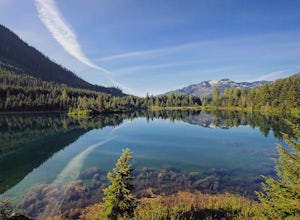
Hike Gold Creek Pond
5.01 miThe quintessential family friendly hike, Gold Creek Pond is a simple yet spectacular hike next to Snoqualmie Pass. Easily accessible from the top of the pass (4.5 miles, 12 minute drive), the Gold Creek Pond hike is a simple addition to any itinerary if you're in the area. From Hwy 90, take exit...Read more -
Snoqualmie Pass, Washington
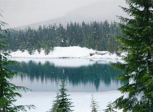
Snowshoe Gold Creek Pond
4 mi / 400 ft gainSince the parking lot is not plowed in the winter you have to park along the main road next to the drive way toward the hike. Once to the trial head it is smooth sailing the rest of the hike. When I went the snow was compacted so snowshoes were not necessary but they are very helpful. Once to the...Read more -
Snoqualmie Pass, Washington
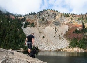
Hike to Margaret Lake
6 mi / 1800 ft gainStarting at an elevation of 3,300 feet, begin the hike on a steep gravel road for 1/4 of a mile. Take a left onto a dirt road that will lead to an area of clear cuts and windy switchbacks.As daunting as this may seem, don't be discouraged. On a clear day, the surrounding peaks of Snoqualmie Pass ...Read more -
Packwood, Washington
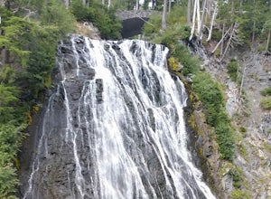
Carter & Narada Falls
3.05.81 mi / 1434 ft gainThis hike starts off with a bang! The first thing you do is walk out into a rocky riverbed and get an amazing view of Mt. Rainier. From there, you'll cross a long log bridge to get over the river and head into the woods. After 1.1 miles, you'll come across Carter Falls, and about 100 feet down t...Read more -
Packwood, Washington
Summit Castle Peak, Mount Rainier NP
4.06 mi / 1400 ft gainStart this route at the Narada Falls Parking lot. This route starts by following Stevens Canyon Road until you arrive at Reflection Lakes after 1.5 miles. About halfway along the lakeshore a path breaks off to the right into the forest. This is a popular route so there is often a snowshoe path be...Read more -
Packwood, Washington
Hike from Narada Falls to Reflection Lakes
4.0Free copies of the Paradise Area Trails can be picked up at the Longmire Wilderness Information Center or Paradise Visitor Center. There are also a number of signs along the trails to decide the route of your adventure.From the Narada Falls parking lot it is a quick 0.1 mile drop down to the view...Read more -
North Bend, Washington
Middle Fork Snoqualmie River Trail
27.57 mi / 3609 ft gainThis beautiful tucked-away trail offers runners, hikers, and backpackers a new view of their favorite neighboring peaks - like Mailbox Peak and Mt. Si - from one of the most scenic river trails in the Seattle area. Often overlooked in favor of more rigorous hikes, the Middle Fork is a gently gra...Read more -
Snoqualmie Pass, Washington
Hike-In and Camp at Alaska Lake
Driving Directions: From Seattle drive east on I-90 to exit 54 (signed "Hyak"). Turn left (north) under the freeway and right on the frontage road marked "Gold Creek." After about 0.5 mile turn left (north) on Gold Creek Road (Forest Road 4832), and in another 0.5 mile reach a junction. To the le...Read more

