Everett, Washington
Looking for the best hiking in Everett? We've got you covered with the top trails, trips, hiking, backpacking, camping and more around Everett. The detailed guides, photos, and reviews are all submitted by the Outbound community.
Top Hiking Spots in and near Everett
-
Goose Rock Perimeter Trail, Washington
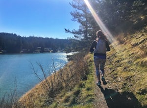
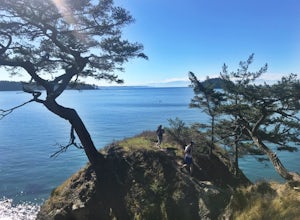
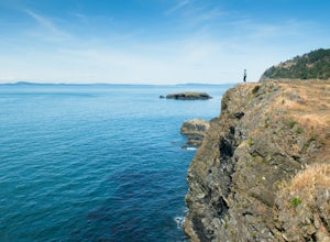
Hike or Run Goose Rock
2.5 mi / 482 ft gainDeception Pass State Park is one of Washington state's favorite year-round destinations; Beachside camping, salt-water kayaking, and plenty of short, accessible trails with endless views of the strait. Goose Rock, the tallest point on Whidbey Island, is just southeast of the Deception Pass bridge...Read more -
Darrington, Washington
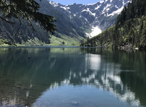
Camp at Goat Lake
4.310.4 mi / 1400 ft gainIf you just loved your day hike to Goat Lake so much that you want to return and spend some more time, you're in luck - the lake offers a camping area that holds at least 15 campsites and even comes with a pit latrine. This is a great overnight option if you aren't looking for a difficult hike in...Read more -
Darrington, Washington
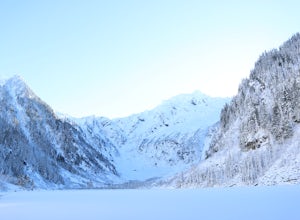
Winter Hike to Goat Lake
4.010.4 mi / 1400 ft gainThis trail is a perfect winter hike for the average outdoorsmen. Be warned that the most difficult part of this hike is getting to the trailhead in winter. The Mountain-loop highway can be a dangerous drive with black ice, snow, and serious potholes along the way. Take proper precautions like cha...Read more -
Darrington, Washington
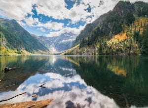
Hike to Goat Lake
4.510.4 mi / 1400 ft gainThe trail starts by lazily winding through beautiful forest. Fairly quickly, you'll reach a fork for the Upper and Lower Elliot Creek Trails. Both will take you to Goat Lake in about the same distance (~3 miles), but each offers a different take on the area. The lower trail winds along as it foll...Read more -
Brinnon, Washington
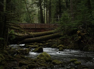
Hike Lower Big Quilcene River
13 mi / 1800 ft gainWhile this hike does not provide any sort of fantastic views, its does provide an easy ~13 mile roundtrip hike from the trailhead to a parking lot for the Upper Big Quilcene Trail which leads to Marmot Pass. Along the way you will cross several bridges, some large and wide, other simple log bridg...Read more -
15671 Rosario Road, Washington
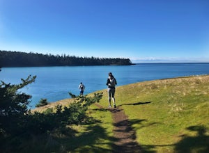
Hike or Run Lottie Point Loop
1.5 mi / 50 ft gainOne of the best routes to add to your itinerary when exploring Deception Pass State Park, one of Washington’s most popular year-round camping, hiking, and kayaking destinations; The Lottie Point Loop trail is a great offshoot of a larger trail system that takes you across soaring cliffsides and a...Read more -
4399 Bowman Bay Road, Washington
Hike or Run the Lighthouse Point Trail
5.01.9 mi / 285 ft gainThe Lighthouse Point Trail is yet another offshoot of Deception Pass Park’s wonderful trail system, which weaves itself through the northern corners to the southern ends of the park’s expansive walking paths. Perfect for families and for adventurers just getting their hiking legs warmed up for th...Read more -
Oak Harbor, Washington
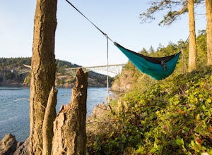
Camp & Hike at the Deception Pass Headlands
5.05 miTHE TRAIL: On the north side of the bridge, you'll come across Rosario Rd. Take this down to the Bowman Bay parking lot and your trailhead begins here. Take a moment to walk out on the fishing pier or watch what people are catching before you continue south on the trail towards Lottie Bay/Lightho...Read more -
Anacortes, Washington
Pacific NW Trail in Deception Pass State Park
5.02.12 mi / 259 ft gainStarting from the Rosario Beach parking lot, the trail heads out past a large recreation area for families and into a wooded area leading up to Rosario Head. At this point in the trail there are beaches on either side that provide a great opportunity to explore some tidal pools. If you choose to...Read more -
Brinnon, Washington
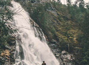
Rocky Brook Falls
4.80.25 mi / 141 ft gainTo find the falls, head north up Hwy. 101 past Brinnon, Washington and hang a left at Dosewallips Rd. Keep an eye on the mile markers. Right after mile three and crossing a small bridge, there's a parking area on the left side enough for about 6 cars. The hike to Rocky Brook Falls is a short on...Read more -
Darrington, Washington
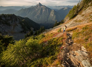
Scramble Mount Pugh
5.011 mi / 5300 ft gainNot for the faint of heart - or those with a fear of heights - Mount Pugh offers some of the most rewarding summit views in the Cascades.Located off the northern end of the Mountain Loop Highway, this is an easy day trip from anywhere in the Puget Sound area. Though finding the trailhead can be t...Read more -
North Bend, Washington
Little Si
3.64.01 mi / 1250 ft gainLittle Si, neighbor to the bigger Mount Si is a decent hike for beginners and families with younger children. It is 4.7 miles round trip (including Boulder Garden Loop - 1.5 miles) gaining 1300ft in elevation - Discover Pass required. This trail is very popular, so if you want seclusion avoid thi...Read more -
Anacortes, Washington
Hike Sares Head
2.1 mi / 440 ft gainStarting at the parking area, there is a roughly 2 mile hike through the woods. Depending on which route you take, you will suddenly end up at one of many incredible view points looking West at the Olympic Mountains, open ocean, and the San Juan Islands. In some areas you will be about 150 feet a...Read more -
Quilcene, Washington
Mount Townsend
8.59 mi / 2949 ft gainThere are four trailheads that guide you to the top of Mount Townsend, but the most popular choice is to begin at the Upper Trailhead Trail #839 (snow permitting). The trail gradually climbs while traversing through forested area. While walking through the fir and hemlock trees, you pass three ...Read more -
North Bend, Washington
Mt. Si
4.67.91 mi / 3241 ft gainMount Si is probably one of the most well trekked hikes around the Seattle area, but one that any hiker-new to the game or an old pro-should experience as least once. I usually use it as a starter hike to kick start the season and highly recommend you get an early start on this one as the further...Read more -
King County, Washington
Teneriffe Falls (Kamikaze Falls)
4.55.64 mi / 1732 ft gainThe lesser known Mt Si Rd trail starts off as a relatively flat road. This continues for two miles until you reach the Teneriffe Falls sign. Upon turning right at this junction, the terrain takes a shift and the incline steepens. This is where most of the elevation is gained. The rest of the way...Read more

