Olympic National Park, Washington
Looking for the best photography in Olympic National Park? We've got you covered with the top trails, trips, hiking, backpacking, camping and more around Olympic National Park. The detailed guides, photos, and reviews are all submitted by the Outbound community.
Top Photography Spots in and near Olympic National Park
-
Port Angeles, Washington
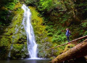
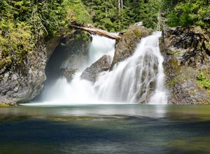
Madison Falls
4.00.16 mi / 98 ft gainMadison Falls is at the end of a 200 foot paved pathway. It is approximately 60 feet tall and lingers in the midst of incredible lush forest. Enjoy it from a viewing point of up close and personal where you can see the greenest of moss growing up along the rocks.Read more -
Port Angeles, Washington
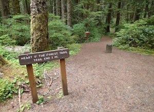
Hike the Heart O' the Forest Trail
5.04.52 mi / 840 ft gainThis hike is a short, 4.0 mile round trip, half-day or less hike, located just past the Hurricane Ridge entrance into Olympic National Park. Being relatively level and the trail head just off loop E of the Heart O' the Hills Campground, the Heart O' the Forest hike offers those looking for a tast...Read more -
Port Angeles, Washington
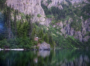
Backpack to Lake Angeles
5.07.12 mi / 2503 ft gainLake Angeles is, rightfully, a popular day hike and overnight backpacking option, as its one of the larger, more accessible lakes in Olympic National Park. It can be done either as a moderate day hike with a refreshing swim and picnic lunch or a relaxing overnight with gorgeous views and reliable...Read more -
Port Angeles, Washington
Backpack 1000 Acre Meadows
45.1 mi / 10750 ft gainThere are many different ways to reach 1000 Acre Meadows, but this guide will get you there starting at the Deer Park trailhead (5,400').Day 1: 14 miles You will start out by descending 2,400' and 4.3 miles to reach the Graywolf Camp. This is where the loop meets up with itself later on. Our goal...Read more -
Port Angeles, Washington
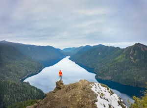
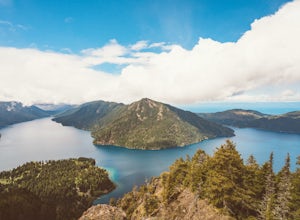
Mount Storm King
4.73.91 mi / 2251 ft gainThe trailhead is located right next to the Storm King ranger station adjacent to Lake Crescent right off Hwy 101 just past Port Angeles if heading West. It shares the same trail as, and breaks off left from the Marymere Falls trail (also worth seeing) about a quarter mile in (look for signage). ...Read more -
Port Angeles, Washington
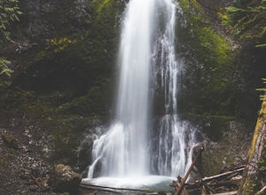
Marymere Falls
4.31.93 mi / 531 ft gainMarymere Falls (90 ft.) is located in Olympic National Park, near Lake Crescent. The falls can be accessed by a short, well-maintained dirt trail through old-growth lowland forest consisting of fir, cedar, hemlock, and alder trees. The creek descends from Aurora Ridge and tumbles over Marymere Fa...Read more -
Port Angeles, Washington
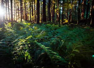
Ancient Groves
5.00.49 mi / 105 ft gainGreat little hike to explore while in the Sol Duc area. I would strongly recommend doing this hike near sunset as the sun will stream through the trees and light everything up in a beautiful glow. The hike will take you to a cliff edge to walk along and get views of the Sol Duc river below. Ver...Read more -
Port Angeles, Washington
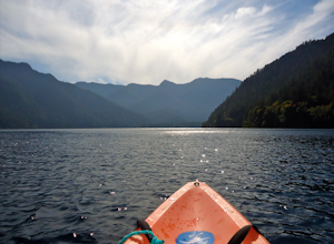
Kayak Lake Crescent
4.0From the Log Cabin Resort located on the east shore of Lake Crescent, rent a kayak and spend the day on the water! My husband and I rented a kayak on our honeymoon for a day and explored half of the lake staying close to the east shore.You can see the bridge for the Spruce Railroad trail on the ...Read more -
Port Angeles, Washington
Spruce Railroad Trail
3.011.36 mi / 1138 ft gainThis versatile trail can adapt to your needs. It's can be an out-and-back hike, so you can make it as long as you like. If you do full distance, you are looking at an 8 mile day... OR, if you have two cars, you can park a car at either end of the trail and make it a 4 mile one-way hike. This des...Read more -
Sequim, Washington
Hike to Royal Basin
4.715.76 mi / 3409 ft gainIf you're looking for a long day hike or multi-night backpacking trip in the Olympics, add Royal Lake and Royal Basin to your adventure list! The first mile of trail along the Dungeness River gains a gentle 300 feet. When you reach the bridge, do not cross it (the trail across the bridge goes...Read more -
Amanda Park, Washington
Walk along the Maple Glade Rain Forest Trail
0.49 mi / 56 ft gainThe Quinault Valley receives an average of 12 feet of rain per year which maintains the temperate rain forest ecosystem. The Quinault Rain Forest is located within the Olympic National Park and is located on the N. Shore Road about 6 miles off of HWY 101. Once you arrive to the ranger station y...Read more -
Mason County, Washington
Hike to Lake of the Angels
5.06.75 mi / 3599 ft gainThe trail up to Lake of the Angels, known as the Putvin Trail, starts out pretty mellow with a gradual uphill climb. Your first marker will be an old roadbed at around 1.4 miles, but you'll need to cross two ravines before making it there. It's thick forest with gorgeous views in the clearings, s...Read more -
Montesano, Washington
Hike to Wynoochee Falls
0.4 mi / 100 ft gainLocated along FR-2270 (Google Maps calls it FR-2312) in Olympic National Forest, the trailhead is marked by a pullout and a pair of signposts but no sign. This area was formerly the Wynoochee Falls Campground. The trailhead is at the North end of the parking lot. This easy hike involves navigatin...Read more -
Port Angeles, Washington
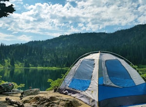
Camp at Fairholme Campground
3.0The campground is right at the very north end of Lake Crescent. It has bathroom and potable water, and for just $20 a night I think it is well worth it. Each campsite is equipped with a table and firepit (bring firewood). Open between May and October; first come first serve. As for activities, t...Read more -
Port Angeles, Washington
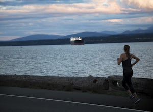
Run Ediz Hook "The Spit"
4.73 mi / 0 ft gainEdiz Hook or as locals call it, "the Spit" is a 3 mile long sand spit that extends out from Port Angeles along the Juan De Fuca. The views of the surrounding mountains and Vancouver Island, the marine life, beaches, and picnic areas make this a prime spot for a memorable run. We parked at the lo...Read more -
Mason County, Washington
Upper Lena Lake
5.012.61 mi / 4239 ft gainThe hike to Upper Lena Lake is a beautiful one. It first takes you past Lena Lake, which is a very popular weekend destination for families. Luckily you're pushing on to Upper Lena Lake that sits in a peaceful alpine meadow with Mt. Lena and Mt. Bretherton towering above. The first part of the t...Read more

