Olympic National Park, Washington
Top Spots in and near Olympic National Park
-
-
Port Angeles, Washington
3.0
11.36 mi
/ 1138 ft gain
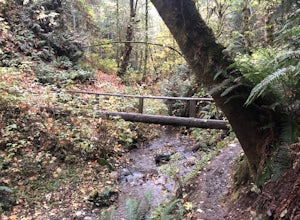
This versatile trail can adapt to your needs. It's can be an out-and-back hike, so you can make it as long as you like. If you do full distance, you are looking at an 8 mile day... OR, if you have two cars, you can park a car at either end of the trail and make it a 4 mile one-way hike.
This des...
Read more
-
Sequim, Washington
4.7
15.76 mi
/ 3409 ft gain
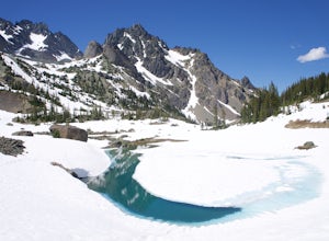
If you're looking for a long day hike or multi-night backpacking trip in the Olympics, add Royal Lake and Royal Basin to your adventure list!
The first mile of trail along the Dungeness River gains a gentle 300 feet. When you reach the bridge, do not cross it (the trail across the bridge goes...
Read more
-
Amanda Park, Washington
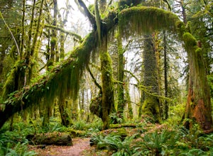
The Quinault Valley receives an average of 12 feet of rain per year which maintains the temperate rain forest ecosystem. The Quinault Rain Forest is located within the Olympic National Park and is located on the N. Shore Road about 6 miles off of HWY 101.
Once you arrive to the ranger station y...
Read more
-
Mason County, Washington
5.0
6.75 mi
/ 3599 ft gain
The trail up to Lake of the Angels, known as the Putvin Trail, starts out pretty mellow with a gradual uphill climb. Your first marker will be an old roadbed at around 1.4 miles, but you'll need to cross two ravines before making it there. It's thick forest with gorgeous views in the clearings, s...
Read more
-
Montesano, Washington
Located along FR-2270 (Google Maps calls it FR-2312) in Olympic National Forest, the trailhead is marked by a pullout and a pair of signposts but no sign. This area was formerly the Wynoochee Falls Campground.
The trailhead is at the North end of the parking lot. This easy hike involves navigatin...
Read more
-
Port Angeles, Washington
The campground is right at the very north end of Lake Crescent. It has bathroom and potable water, and for just $20 a night I think it is well worth it. Each campsite is equipped with a table and firepit (bring firewood). Open between May and October; first come first serve.
As for activities, t...
Read more
-
Hoodsport, Washington
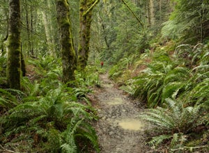
This trail is great for nature trips and for birding. A national park pass or an entry fee of $25 per car (or $10 fee to walk in) is required for entry into Olympic National Park. Watch out for mud on the trail after rain.
Read more
-
Port Angeles, Washington
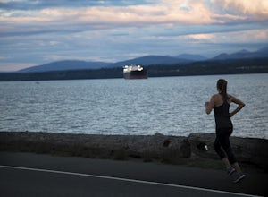
Ediz Hook or as locals call it, "the Spit" is a 3 mile long sand spit that extends out from Port Angeles along the Juan De Fuca. The views of the surrounding mountains and Vancouver Island, the marine life, beaches, and picnic areas make this a prime spot for a memorable run.
We parked at the lo...
Read more
-
Mason County, Washington
5.0
12.61 mi
/ 4239 ft gain
The hike to Upper Lena Lake is a beautiful one. It first takes you past Lena Lake, which is a very popular weekend destination for families. Luckily you're pushing on to Upper Lena Lake that sits in a peaceful alpine meadow with Mt. Lena and Mt. Bretherton towering above.
The first part of the t...
Read more
-
Mason County, Washington
4.5
6.24 mi
/ 1644 ft gain
The trail climbs gently up and is accessible almost every season, weather permitting. Snowshoes may be needed December-February, so make sure and check with the Hoodsport Ranger Station.
Just 45 minutes north of Hoodsport (a darling small town on the shores of Puget Sound), this trailhead has sp...
Read more
-
Mason County, Washington
The Brothers is a notable peak on the border of Olympic National Park. The dual summits are a distinguishing feature of the Olympic Range, viewed from Seattle. This is a challenging route, testing a climber's route finding skills, physical fitness, and mental fortitude. From the parking lot, you ...
Read more
-
Port Angeles, Washington
This county park is great for day use or overnight camping. Half the campsites are about 20 feet from the water, so you can hear waves crashing on the rocks as you sleep.A short walk from all the sites going east, you will end up at a large field with picnic tables and a playground for kids (visi...
Read more
-
Hoodsport, Washington
4.8
3.08 mi
/ 2467 ft gain
Hikers who reach the summit of Mount Ellinor are treated to a rarer view of Olympic National Park, one that is notably more immersive, rugged and dynamic than the common vista from Hurricane Ridge. Ellinor’s profile is, no doubt, familiar to most Seattleites, as it’s the Olympics’ southernmost p...
Read more
-
Brinnon, Washington
The Dose Forks Campground is an overlooked campsite deep within the Olympic National Park, making it a perfect weekend camping destination. A mild, 7.5 mile (one-way) trail delivers you to this enchanting area and is a must for those who love photographing forests. There are no reservation requir...
Read more
-
Quilcene, Washington
5.0
10.5 mi
/ 3481 ft gain
This trail has a nice, steady climb that's perfect for beginner or intermediate backpackers. The first 2.5 miles follow a forest trail along the Big Quilcene River. For the next 3 miles, the trail flows in and out of shaded trees, over a small talus field, and through a meadow before the final ac...
Read more

