Sequim, Washington
Looking for the best hiking in Sequim? We've got you covered with the top trails, trips, hiking, backpacking, camping and more around Sequim. The detailed guides, photos, and reviews are all submitted by the Outbound community.
Top Hiking Spots in and near Sequim
-
Mason County, Washington
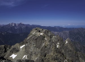
Climb the Brothers (South Climb)
4.517 mi / 6062 ft gainThe Brothers is a notable peak on the border of Olympic National Park. The dual summits are a distinguishing feature of the Olympic Range, viewed from Seattle. This is a challenging route, testing a climber's route finding skills, physical fitness, and mental fortitude. From the parking lot, you ...Read more -
Mason County, Washington
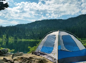
Upper Lena Lake
5.012.61 mi / 4239 ft gainThe hike to Upper Lena Lake is a beautiful one. It first takes you past Lena Lake, which is a very popular weekend destination for families. Luckily you're pushing on to Upper Lena Lake that sits in a peaceful alpine meadow with Mt. Lena and Mt. Bretherton towering above. The first part of the t...Read more -
Mason County, Washington
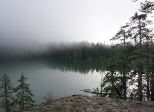
Lena Lake
4.56.24 mi / 1644 ft gainThe trail climbs gently up and is accessible almost every season, weather permitting. Snowshoes may be needed December-February, so make sure and check with the Hoodsport Ranger Station. Just 45 minutes north of Hoodsport (a darling small town on the shores of Puget Sound), this trailhead has sp...Read more -
Seabeck, Washington
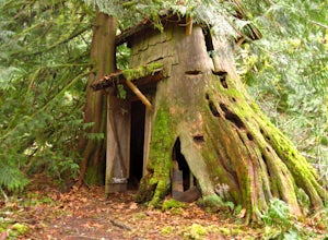
Hike to Guillemont Cove Stump House
4.52.5 miHave you ever been inside a stump house? This is your chance! Just outside of Seabeck, Washington lies a hobbit stump house tucked into a mossy forest on the shores of Guillemont Cove. Drive to Seabeck, turn right onto Miami Beach Road, bear left onto Stavis Bay road and continue for 4.5 miles...Read more -
Blakely Island, Washington
Hike and Camp at James Island
If you're looking for a weekend camping getaway to a small San Juan Island and you have a boat of substantial size or experience sea kayaking, this is the adventure for you!Launch your boat from Washington Park in Anacortes and cruise or sea kayak across Rosario Straight to James Island. There i...Read more -
Lopez Island, Washington
Hike to Spencer Spit
5.01.75 mi / 60 ft gainIt's just a short walk to the beach on this protruding point in Lopez Sound, and all downhill. Immediately upon leaving the trailhead, you come to a junction. Turn right and make a beeline straight for the picnic area at the base of the Spit.Time to explore the Spit. If the tide is high, stick to...Read more -
Langford, British Columbia
Hiking the Goldmine Trail
4.52.2 mi / 295.3 ft gainGoldstream Provincial Park is just a short drive from Victoria. Within 20 minutes of leaving the city center, you can be immersed in an old growth temperate rain forest.From Victoria, take the Trans-Canada highway to the start of the Malahat. The Goldstream day use area is well marked. Stop here ...Read more -
Anacortes, Washington
Hike to the Summit of Mt. Erie
4.05 mi / 900 ft gainTo start this hike, jump on trail 215 for a short distance of about a 1/4 mile. From here, continue until you cross trail 320 and head left onto it. Stay on 320 until you come across trail 230.Take 230 uphill (resembles an old fire road) toward the ravine just above a creek. From here, head onto ...Read more -
Sooke, British Columbia
Hike Whiffin Spit
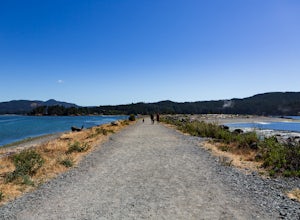
1.5 mi / 0 ft gainLocated in Sooke, between the Sooke Harbour and the Juan de Fuca Strait is Whiffin Spit Park. An easy 2.4km out and back trail with minimal elevation gain that you can walk to the end and back in about an hour. The dog-friendly gravel trail takes you down the spit to the end where you will find a...Read more -
Langford, British Columbia
Hiking Mt. Finlayson
4.0Mount Finlayson in Goldstream Provincial Park is 19 km north of Victoria on Hwy 1. The trail takes you up to a scenic lookout of Victoria. For the majority, this trail is quite easy, however, it gets slightly more challenging toward the end when the terrain gets steeper.Park at Goldstream Provinc...Read more -
Mason County, Washington
Hike to Lake of the Angels
5.06.75 mi / 3599 ft gainThe trail up to Lake of the Angels, known as the Putvin Trail, starts out pretty mellow with a gradual uphill climb. Your first marker will be an old roadbed at around 1.4 miles, but you'll need to cross two ravines before making it there. It's thick forest with gorgeous views in the clearings, s...Read more -
Port Angeles, Washington
High Divide and 7 Lakes Basin
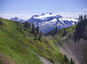
5.019.93 mi / 5056 ft gainA day spent plying the trails of the High Divide in Olympic National Park changes an outdoorsman. This moderate to strenuous loop boasts the best views on the peninsula, a chance to see foraging black bears and abundant deer, stunning waterfalls and marvelous old growth forests. By the time you f...Read more -
Port Angeles, Washington
Sol Duc Falls and Deer Lake
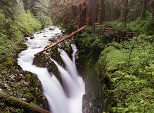
4.67.17 mi / 1729 ft gainThe hike to Sol Duc Falls is a simple 0.8 mile walk to a roaring falls on the Sol Duc River. If you’re up for more of a hike, continue on the trail to Deer Lake from Sol Duc Falls. At the fork in the trail, turn left and hike up away from the Lover's Lane Trail. The trail steepens and the rocky ...Read more -
Friday Harbor, Washington
Hike to Young Hill
4.01.2 mi / 650 ft gainFrom the main parking lot at English camp, follow the wide path east and cross West Valley road to the trailhead of Young Hill. The trail switchbacks several times and leads you past the English Camp cemetery. Continue left on the main trail through the forest of Pacific Madrone trees until you r...Read more -
Sooke, British Columbia
Hike Mount Manuel Quimper
The Sooke Hills is a geographic region of low hills with elevations between 350m (Mt. Wells) to a high of 682m (Mt. Empress), located in the area bounded on three sides by Highway 1 to the east, Highway 14 to the south and the Sooke River to the west. Though heavily logged 100+ years ago, in the ...Read more -
Sooke, British Columbia
Hike and Swim at Sooke Potholes
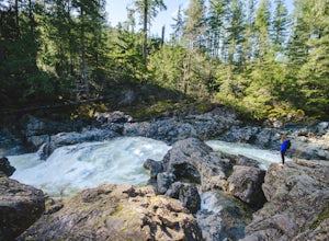
4.2The Sooke Potholes seem to have something for everyone. Those seeking quick and easy beach access can enjoy short, well-groomed trails that lead straight to the pebble beaches from each of this spot’s multiple parking lots. There are also a number of paths leading to viewpoints overlooking the ri...Read more

