Skamania, Washington
Looking for the best photography in Skamania? We've got you covered with the top trails, trips, hiking, backpacking, camping and more around Skamania. The detailed guides, photos, and reviews are all submitted by the Outbound community.
Top Photography Spots in and near Skamania
-
Cascade Locks, Oregon
Chinidere Mountain
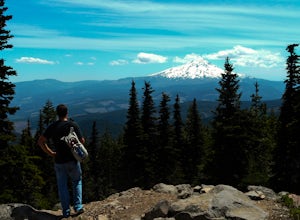
4.83.18 mi / 1150 ft gainThe easy version of the Chinidere Mountain hike starts Wahtum Lake Trailhead. The road to the parking lot for Wahtum Lake is paved and thus very easy to access in summer and before snowfall in autumn! The mountain sits across the lake from the parking lot and there are several trails that will ta...Read more -
Yacolt, Washington
Hike Silver Star Mountain via Grouse Vista
4.56 mi / 2000 ft gainThe Grouse Vista Trailhead is located through the town of Washougal off of highway 14 just past Camas. Once you leave the city, the road will turn to gravel and dirt though it is fairly well maintained until snow arrive and accessible by most cars so long as you're willing to get drive over loose...Read more -
Cascade Locks, Oregon
Camp at Lost Lake
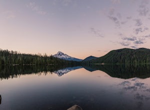
4.7When the temperature starts to creep up in the summer, Lost Lake is the perfect escape. The campground provides you with everything you could want – miles of scenic hiking, a multitude of water activities, and even a general store for anything you might have forgotten at home.The lakeside tent ca...Read more -
Cascade Locks, Oregon
Emerald Falls
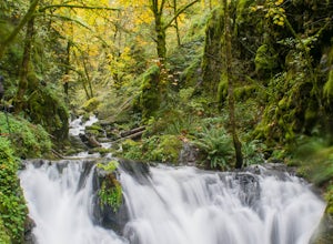
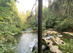
2.00.65 mi / 308 ft gainStart at the Wyreth Campground day-use area. If it's closed, park on the side of the road and walk in from the roadway. You'll see an intersection with a wooden bridge crossing the river. Take a few pictures and continue straight on the trail. You'll go about 1/2 mile on the trail until you rea...Read more -
Cascade Locks, Oregon
North Lake via Wyeth Trail
1.012.36 mi / 4505 ft gainPark at the Wyeth Trailhead parking lot and start hiking south along the old road bed. At the junction with the Gorge-Wyeth Trail, bear left and follow the Wyeth Trail as it goes beneath several power lines. Follow the trail as it goes back into the woods and crosses Harphan Creek. Continue on an...Read more -
Yacolt, Washington
Hike Silver Star Mountain
4.6Silver Star is simply a must-do hike for adventure lovers here in the Northwest!From the parking area, take the main trail up to the first open meadow. Eds Trail splits off here, meeting back up just before the summit. Be warned, Eds Trail is much steeper in sections and is more difficult than th...Read more -
Cascade Locks, Oregon
Gorton Creek Falls
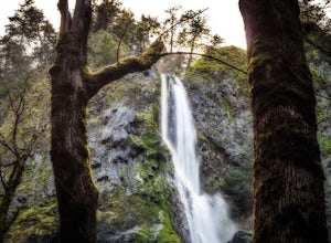
4.71.01 mi / 361 ft gainThe Gorton Creek Falls hike provides an excellent challenge for those who are searching for a bit of adventure. The trailhead starts at the Wyeth Campground day use area, and continues straight at the intersection. The first 2/3rds of the trail are relatively easy to traverse (depsite being rough...Read more -
Stevenson, Washington
Wind Mountain
5.02.5 mi / 1037 ft gainOnce you reach the parking lot, walk down the hill and find the trail head, which is easily seen as it is marked. Begin your trek up the trail. The way up is pretty much all uphill, and is a great workout for the legs. You will walk through forests and over many rocks on the way up. As soon as y...Read more -
Camas, Washington
Explore Camas Pothole Falls
4.00.5 mi / 0 ft gainThis is on the Round Lake Loop trail and there’s a free parking area. It’s a relatively in and out hike that is family friendly but does have some downhill scrambles. Be careful when jumping as there has been fatalities in the past but as long as you’re practicing safe swimming you’ll be okay.Read more -
Stevenson, Washington
Dog Mountain via Dog Mountain Trail
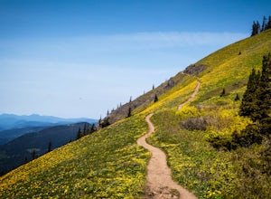
4.56.53 mi / 2858 ft gainThe Dog Mountain trailhead is located halfway between Stevenson and Bingen. Look for the big signed parking area just after milepost 53 (Eastbound). The parking lot fills up quickly, especially during peak wildflower season, so if you can go on a weekday that would be better. There are 3 trails ...Read more -
Stevenson, Washington
Dog Mountain: The Steeper Route
4.55.55 mi / 2858 ft gainIf you know the Columbia Gorge, you know Dog Mountain. It's the ever-rewarding, incredibly challenging, insanely popular, calf-burning 6.5-mile hike that attracts hundreds of people every weekend, especially during May and June when the wildflowers are in full bloom. If you're like me and you h...Read more -
Camas, Washington
Kayak Lacamas Lake
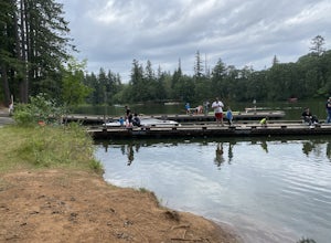
5.0Lacamas Lake is popular for all types of water activities with easy access because of it’s dock and free public parking. This area is family and dog friendly and has picnic tables for a place to sit down and have a nice lunch after swimming. Rope swings can be found along the beach if you’re the ...Read more -
Camas, Washington
Hike Lacamas Heritage Trail
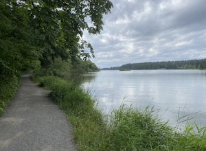
5.03.5 mi / 139 ft gainUsed often for cross country practice, the Lacamas Heritage Trail is a popular gem in Camas, Washington for all citizens. It is family and dog friendly and comes with endless scenic views of the beautiful Lacamas Lake. Parking is free and there are bathrooms at the entrance.Read more -
Sandy, Oregon
Photograph Jonsrud Viewpoint
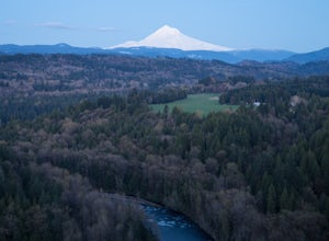
4.5The view from this spot is definitely worth the drive, if you're visiting Portland or the Columbia River Gorge area I highly recommend taking the time to stop here. Not a lot of people know about this spot and its likely you'll be the only person/people there!If you get the chance, definitely com...Read more -
Cascade Locks, Oregon
Mount Defiance
3.712.55 mi / 5167 ft gainThis hike starts at the Starvation Creek Rest Area. After parking, head west back along the shoulder of the freeway, where you’ll see a wooden sign stating “Mt. Defiance Trail.” Continue heading west along the abandoned Columbia River Highway. Keep going west as you pass the junction with the Sta...Read more -
Cascade Locks, Oregon
Lower Starvation Ridge Loop
3.72.69 mi / 1001 ft gainStarvation Creek Falls is an impressive 190 ft. waterfall just a few feet from the parking lot. If you don't know it's there, you'll miss it. Keep walking past the restrooms, away from the trail head to see this beautiful two-tiered waterfall. There are a couple of picnic tables near the creek to...Read more

