Snohomish County, Washington
Looking for the best hiking in Snohomish County? We've got you covered with the top trails, trips, hiking, backpacking, camping and more around Snohomish County. The detailed guides, photos, and reviews are all submitted by the Outbound community.
Top Hiking Spots in and near Snohomish County
-
Skykomish, Washington
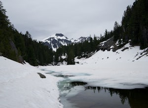
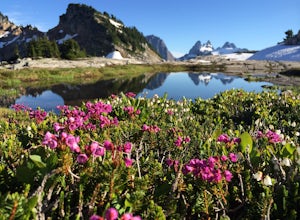
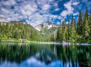
Jade Lake via the Necklace Valley Trail
15.26 mi / 3323 ft gainThis hike is definitely one of our all-time favorites. The first time we did it was in August 2015 and due to the exceptionally mild winter that year, fall was already beginning to show its colors. We wanted to see it again in the springtime when everything was in bloom, so we decided to go again...Read more -
Skykomish, Washington
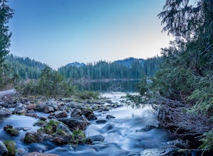
Tank Lakes via Necklace Valley
18.94 mi / 4721 ft gainTucked high in the heart of the Alpine Lakes Wilderness, Tank Lakes has everything you could ask for out of a Washington hike. You start low at the Necklace Valley trailhead just south of Skykomish along Highway 2 and meander five miles to a giant log crossing of the East Fork Foss River. From h...Read more -
Skykomish, Washington
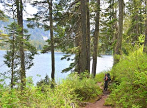
Hike to Lake Deer via Lake Dorothy Trailhead
12.6 mi / 1600 ft gainStart off by traveling along Highway 2 and turning towards the Money Creek Campground. Turn off onto Forest Road 6410 and follow that to the Lake Dorothy Trailhead (about 9 miles).This first section of the hike can be pretty crowded on a nice summer day as the trail is very family friendly and it...Read more -
Skykomish, Washington
Backpack from Dorothy Lake Trailhead to Snoqualmie Lake
18 mi / 1900 ft gainThe trail was not crowded although when we got to Snoqualmie Lake there were only a couple camping spots left. The trail up from Dorothy is not too hard at all. The weather was perfect. After passing Dorothy you have to ford a creek where the bridge has been washed out. We went through it on foot...Read more -
Snoqualmie, Washington
Rattlesnake Mountain Trail
4.010.54 mi / 2664 ft gainThe Rattlesnake Mountain Trail is often associated with Rattlesnake Ledge, one of the busiest hiking destinations around. But most people don't know that you can continue on from Rattlesnake Ledge another 10 miles to Snoqualmie Point Park. Using the Snoqualmie Point Trailhead, this hike is a wo...Read more -
North Bend, Washington
Middle Fork Snoqualmie River Trail
27.57 mi / 3609 ft gainThis beautiful tucked-away trail offers runners, hikers, and backpackers a new view of their favorite neighboring peaks - like Mailbox Peak and Mt. Si - from one of the most scenic river trails in the Seattle area. Often overlooked in favor of more rigorous hikes, the Middle Fork is a gently gra...Read more -
North Bend, Washington
Hike Pratt Balcony
2.2 miThis one can be a bit tricky to find. The trailhead is unmarked and is a bit hidden around a curve of Middle Fork Road so it is easy to miss. At about 9.80 miles from the junction of 468th St. and Middle Fork Road, look for two signs on the right warning of upcoming gravel patches (probably will ...Read more -
Issaquah, Washington
Poo Poo Point
4.46.57 mi / 1880 ft gainThe Poo Poo Point trail is a great option for beautiful forest and great views only about 20 minutes outside of Seattle. The longer and less steep of the two routes to Poo Poo Point, this trail leaves from the Issaquah High School (the shorter and steeper Chirico Trail leaves from the paragliding...Read more -
Bellevue, Washington
Anti-Aircraft Peak Loop
4.53.53 mi / 436 ft gainHead up the road about .75 miles and take a left onto the Klondike Swamp Trail (well-singed). Stay on Klondike for a mile before taking a left onto Lost Beagle Trail. From here the trail climbs uphill and wraps around the edge of the park, offering views of the surrounding area. Hop on Shangri-La...Read more -
Skykomish, Washington
Hike to Big Heart Lake
5.014.6 mi / 3300 ft gainThis hike takes you past 5 lakes and a few different waterfalls, so if you don't wish to push on to Big Heart, you won't be disappointed! Start at the West Fork Foss River Trailhead, about 2.6 miles past the Necklace Valley Trailhead. The first mile is relatively flat. Once you reach the bridge t...Read more -
Skykomish, Washington
Hike to Foss River and Lakes
4.04.2 mi / 2400 ft gainChoose from Trout Lake (1.6 miles each way with 500 feet of elevation gain), Copper Lake (4.2 miles each way with 2400 feet of elevation gain), or Big Heart Lake at 7.3 miles each way, with 3300 feet elevation gain). There are plenty of camp sites if you decide to go overnight at any of the lakes...Read more -
Seattle, Washington
Discovery Park Beach
4.32.39 mi / 535 ft gainDiscovery Park and its beach area great for walking, running, photography, and taking in a sunset. If you want to put your feet in the sand, head down to the western most part of the park. This beach is a sand beach with an iconic lighthouse at the end. Dirftwood also washes up on the beach provi...Read more -
Bellevue, Washington
Coal Creek Trail
4.05.55 mi / 545 ft gainThis trail takes you through Coal Creek park and follows the creek along the trail with minimal elevation gain. This trail can also be accessed from the northern end of the park if that's a more convenient drive. For the lower parking lot, park at the Red Town lot (exit 13 off I-90) and cross the...Read more -
Bellevue, Washington
Coal Creek Falls via Red Town Trailhead
3.02.29 mi / 518 ft gainThe popular trailhead is located in the Cougar Mountain Regional Wildlife Park. There is a veritable maze of trails and trailheads here so it is helpful to bring along a map of the area. A trail map for Cougar Mountain can be found on kingcounty.gov. From the trailhead veer left following the Re...Read more -
Seattle, Washington
Loop Trail - Discovery Park
3.5 mi / 200 ft gainThe Loop Trail in Discovery Park offers a nice respite from the city, with views of the Puget Sound, open fields and forest. Given it's a loop, there are a couple of different options to begin the hike. The most common is to park at the East Visitor Center Parking lot and take a short connector t...Read more -
Seattle, Washington
Camp on Blake Island
There are 2 ways to get to Blake Island: private boat or via the Argosy Cruises tour boat (or if you're ambitious, I guess you can swim there!). If traveling by private boat, there is a marina with limited dock space as well as buoy moorings around the island for a moorage fee. Blake Island is ...Read more

