White Sulphur Springs, West Virginia
Looking for the best photography in White Sulphur Springs? We've got you covered with the top trails, trips, hiking, backpacking, camping and more around White Sulphur Springs. The detailed guides, photos, and reviews are all submitted by the Outbound community.
Top Photography Spots in and near White Sulphur Springs
-
Shady Spring, West Virginia
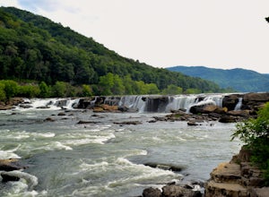
Sandstone Falls
5.00.52 mi / 46 ft gainStarting at the trailhead, follow signs for the falls. After a short walk, hikers will reach the walkway bridge where they can snap a couple shots of the minor Sandstone Falls to the right. Many hikers stop here, thinking these falls are the final destination. Do not make this mistake—the best is...Read more -
Ripplemead, Virginia
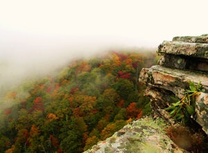
Hike Barney's Wall
4.68.4 mi / 1600 ft gainThis hike begins in the parking lot for Cascade Falls. Keep left at the first and second intersections to stay on the Upper Trail. At the third intersection, stay straight (don't turn right) to stay on the Conservancy Trail.Follow the Conservancy Trail for 0.4 miles, and continue on it when it br...Read more -
Marlinton, West Virginia
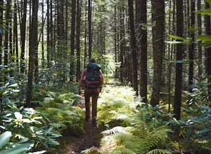
Cranberry Wilderness North South Loop Trail
17.1 mi / 1617 ft gainThe Cranberry Wilderness is lesser known, but if you're looking for a rugged escape, this is it. Be mindful of your water intake, as there are a few stretches upwards of 6-8 miles where there is no access to fresh water. Those areas are well-known in most of the hiking blogs/guides (I'd recommend...Read more -
Marlinton, West Virginia
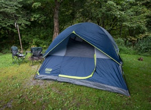
Camp at Day Run Campground
5.0Located in West Virginia’s Monongahela National Forest about half way between Snowshoe and the Cranberry Glades makes this campground an ideal place to set up a base camp while you explore the surrounding area. It is located about five miles from Highland Scenic Highway (HW150), which makes it ju...Read more -
Roanoke, Virginia
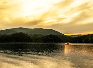
Canoe or Kayak at Carvins Cove
5.0Part of the attraction to the Cove is that you can literally leave work at 5pm and be in the water paddling in plenty of time to catch the sunset. Catching a sunrise is slightly more difficult just because the boat landing doesn't open until 6:30am. However, it's still possible to paddle out and ...Read more -
Ripplemead, Virginia
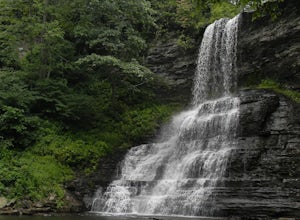
Cascade Falls
4.93.81 mi / 732 ft gainThe 66' Cascade Falls located in Giles Count is arguably one of the most beautiful waterfalls in Virginia. This classic hike is 4.0 miles and gains 800' in elevation. Located in Pembroke, Virginia, access the trail head by taking Cascade Drive (VA-623) off of US-460 and drive 3.3 miles to the p...Read more -
Eagle Rock, Virginia
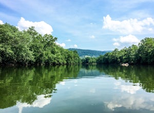
Canoe or Kayak the Upper James River
4.3Put in at the Horseshoe Bend Boat Ramp near Buchanan, VA. The pin on the map will take you right there. Takeout will be at the boat ramp in downtown Buchanan, approximately 9 miles down river. This ramp is located just above the Rt. 11 bridge.Twin River Outfitters uses this ramp also, so there's ...Read more -
Newport, Virginia
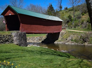
Fish Sinking Creek at Clover Hollow Queens Truss Bridge
5.0Park alongside of the road at the bridge where 2-3 cars can fit. From here you can fish in Sinking Creek with a great view of this historic landmark. The majority of fish are native brook's and can be caught on a smaller 4-5 wt rod using dry flies.The covered bridge was built in 1916 and spans 70...Read more -
Daleville, Virginia
Hay Rock
4.67.48 mi / 1276 ft gainIf you're looking for a hike in the Roanoke area without the crowds that McAfee Knob draws, but still want a challenging hike with great views, try hiking to Hay Rock. This 7.5 mile round trip hike begins at the Park and Ride just off I-81 at the US-220 Troutville/Fincastle exit (150B). The gra...Read more -
Newport, Virginia
Photograph Sinking Creek Falls
5.0Park at the Clover Hollow Covered Bridge, and walk or bike 1/3 mile along Clover Hollow Rd in the direction of Blue Grass Trail Rd or to the pin dropped in the location below.When you can see the waterfall, carefully walk down the bank where you'll have perfect angles of the waterfall and surrou...Read more -
Blacksburg, Virginia
Take a Stroll around Pandapas Pond
4.51 miGreat for walking or jogging. There are nice views of the pond and there are also other little areas like one dedicated to horticulture. Fishing is also possible (with a license). Parking is very easy here!Read more -
Danese, West Virginia
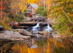
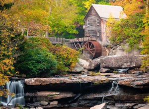
Photograph the Glade Creek Grist Mill
5.0Hidden deep in the Appalachian Mountains near the New River Gorge sits an extremely photogenic grist mill. A recreation of the original mills that dotted West Virginia, Glade Creek Grist Mill was completed in 1976 at Babcock SP. Built fully operational from the parts of 3 other WV mills, it was p...Read more -
Richwood, West Virginia
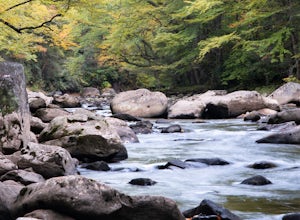
Backcountry Fly Fish on the Cranberry River
The Cranberry Wilderness is one of the largest wilderness areas east of the Mississippi and offers a unique backcountry fly fishing opportunity within West Virginia. One of the best ways to access the Cranberry River to hike, explore, and fish the river is from the Cranberry River Campground. J...Read more -
Danese, West Virginia
Camp at Babcock State Park
5.0Babcock State Park is one of 36 state parks in West Virginia and is located just Southeast of Fayetteville, WV. Babcock State Park has over 4,000 acres, making it a great place to camp while you explore the beautiful area. The campground has 51 campsites for tents and is open from the last week...Read more -
Blue Ridge, Virginia
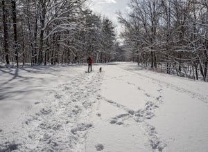
Snowshoe the Blue Ridge Parkway
3.3We don't get a ton of snow here in Virginia, but when we do, the Blue Ridge Parkway can be a great place to get out and enjoy a day of snowshoeing or cross country skiing. It's also a great opportunity to get your pup out and let him work out some energy as the chances of running into anyone are ...Read more -
Newport, Virginia
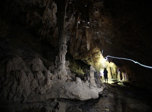
Hike through the New River Cave
4.72 mi / 332 ft gainAfter reaching the parking area, cross the road and continue up the trail for about 0.3 miles. At the kiosk, make sure to register in order to indicate that you are going into the cave. After passing the kiosk and some rocky portions of the trail, you will approach the cave entrance. The cave goe...Read more

