Ashland, Wisconsin
Looking for the best photography in Ashland? We've got you covered with the top trails, trips, hiking, backpacking, camping and more around Ashland. The detailed guides, photos, and reviews are all submitted by the Outbound community.
Top Photography Spots in and near Ashland
-
Bayfield, Wisconsin
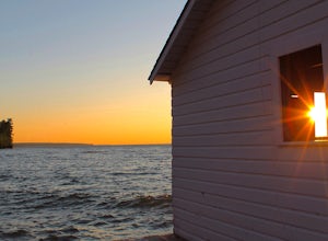
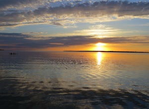
Catch a Sunset at Hokneson Fishery
0.16 mi / 11 ft gainBegin at the campground visitor center. Follow the marked paved trail right roughly .08 of a mile. The paved trail ends onto a sandy beach and the abandoned Hokenson Fishery. The trail itself is very short and should take less than 3 minutes to get to.Read more -
Bayfield, Wisconsin
Camp at Little Sand Bay Campground
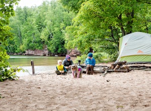
5.0On a road trip from Kanasas City, MO to explore Lake Superior we stumbled across this amazing campground right on the shore of Lake Superior, Little Sand Bay Campground (34155 State Highway 13, Bayfield, WI 54814). After a long drive, you may want to take a nap :) Once you wake up, check out Mort...Read more -
Saxon, Wisconsin
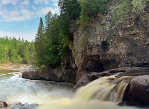
Hike to Saxon Falls
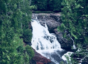
0.5 miAn unusual hike to see the falls, Saxon Falls sits next to a flowage station. On foot, follow the short, wooded hiking trail to the east of the parking area, which leads to the overlook location. For better viewing, continue down the path. The falls sports one of the deepest gorges in the region....Read more -
La Pointe, Wisconsin
Camp on Stockton Island
5.0To get out to the Apostle Islands you have to travel by boat. Many people choose to sea kayak, but with small kids we opted to take the ferry/taxi through the Apostle Islands concierge (apostleisland.com ). However, there was one man who brought his kayak over on the ferry and then paddled around...Read more -
Port Wing, Wisconsin
Explore Twin Falls, WI
3.00.5 miIt’s located on Highway 13 on the outskirts of Port Wing, WI. If you are coming from the west, you’ll see a sign on your right for the park. This will be before you get to the town of Port Wing. If you are coming from the East on Highway 13, you will pass through the town and it’s shortly after ...Read more -
Ironwood, Michigan
Photograph the Potawatomi and Gorge Waterfalls
5.0Potawatomi and Gorge falls are two of the most scenic waterfalls on the black river. These two waterfalls are an easy stop for anyone and both waterfalls are accessible for wheelchairs. The Black River Scenic Byway starts north of US 2 near Bessemer. There are signs on the highway. The falls ar...Read more -
Bessemer, Michigan
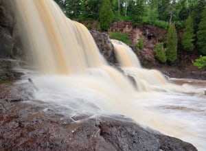
Hike to Gabbro Falls
5.01 miGabbro Falls is on the Black River and is as impressive waterfall. This wild waterfall does not have any fences or barriers, so view with caution from above. Getting there, take Black Jack Road north. This road will take a sharp left turn and will go by the ski hill. Before you get to the ski hi...Read more -
Bessemer, Michigan
Explore Gabbro Falls
Gabbro Falls is located just east of Blackjack Ski Resort in Bessemer, MI. There are two options for seeing the falls. First, you can continue through the resort parking lot, and continue up a service road. On the left, you see a small parking area. From the parking area, you can see a small hand...Read more -
Two Harbors, Minnesota
Gitchi-Gami from Gooseberry to Split Rock
15.28 mi / 1440 ft gainThe Gitchi-Gami is a paved bike path that will eventually extend from Two Harbors to Grand Marais. As it currently stands (2015), there's a really great segment that starts in Gooseberry Falls State Park and runs all the way to the town of Beaver Bay (total of 16 miles one way). I chose to do a ...Read more -
Two Harbors, Minnesota
Explore Gooseberry Falls
4.6Gooseberry Falls State Park is the first State Park you hit traveling up the North Shore after leaving Duluth. Located 13 miles north of Two Harbors on Highway 61, Gooseberry Falls State Park a quick turn off of the highway which is very well marked with signs. Follow signs for Falls parking.You ...Read more -
Two Harbors, Minnesota
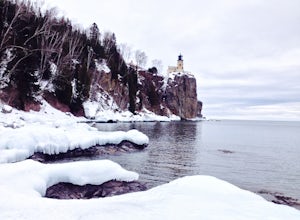
Snowshoe to Corundum Point at Split Rock Lighthouse State Park
5.8 mi / 240 ft gainAlthough there are dozens of ways to do this trip and I encourage you to explore, I suggest one hike that I think does a good job of introducing this areas to new visitors. If you are planning on snowshoeing like I suggest, try to get a day with a good amount of fresh snow (6+ inches). Packed sno...Read more -
Two Harbors, Minnesota
Hike to the Fifth Falls of the Gooseberry River
3.82 mi / 100 ft gainGooseberry Falls State Park is the first State Park you hit traveling up the North Shore after leaving Duluth. Located 13 miles north of Two Harbors on Highway 61, Gooseberry Falls State Park a quick turn off of the highway which is very well marked with signs. Follow signs for Falls parking. Beg...Read more -
Two Harbors, Minnesota
Snowshoe the Split Rock River Loop Trail
3.05 mi / 280 ft gainBeginning at the Split Rock Wayside rest stop, start your hike up the Spur Trail. About half a mile in, the Spur Trail will junction with the Superior Hiking Trail. The trail gradually ascends along the west side of the Split Rock River. Within the first mile, you will cross over a small bridg...Read more -
Two Harbors, Minnesota
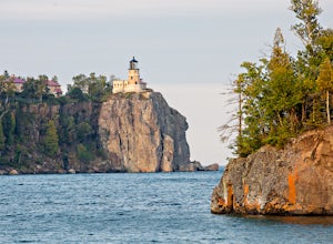
Hike Split Rock Lighthouse State Park to Corundum Point
5.8 mi / 300 ft gainOn November 28, 1905, a violent storm hit Split Rock Point on the North Shore of Lake Superior. While large storms aren't unusual at Split Rock, this particular storm resulted in the destruction of twenty-nine ships on the lake in a single day, prompting the construction of Split Rock Lighthouse....Read more -
Duluth, Minnesota
Photograph Stoney Point Beach on Lake Superior
The AdventureThe work is done. According to The Photographer’s Ephemeris (app.photoephemeris.com) the sun will rise at 7:11 AM. You grab your gear, a hot beverage, and set out for the open road. Scenic 61 follows the shore of Lake Superior all the way from Duluth to Two Harbors, MN. The drive up ...Read more

