Boulder Junction, Wisconsin
Looking for the best hiking in Boulder Junction? We've got you covered with the top trails, trips, hiking, backpacking, camping and more around Boulder Junction. The detailed guides, photos, and reviews are all submitted by the Outbound community.
Top Hiking Spots in and near Boulder Junction
-
Saxon, Wisconsin
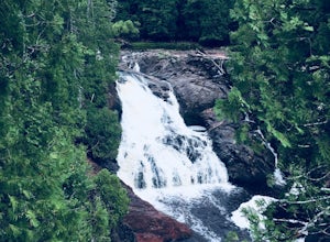
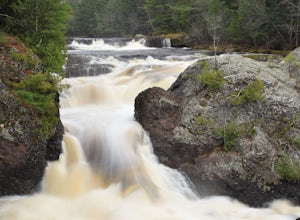
Hike to Saxon Falls
0.5 miAn unusual hike to see the falls, Saxon Falls sits next to a flowage station. On foot, follow the short, wooded hiking trail to the east of the parking area, which leads to the overlook location. For better viewing, continue down the path. The falls sports one of the deepest gorges in the region....Read more -
Ontonagon, Michigan
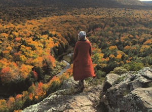
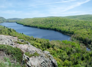
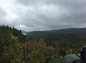
Hike Lake of the Clouds in the Porcupine Mountains
1.4 mi / 334 ft gainHiking in the porcupine mountains could be a day trip or a week trip. From a short rim hike overlooking Lake of the Clouds to a three day back country camping excursion, there are endless amounts of options for planning a getaway to the Porcupine Mountains. Located in the far northwest of Michig...Read more -
Ontonagon, Michigan
Backpack the Union Spring and Lost Lake Trails in the Porkies
8.1 mi / 600 ft gainThe hike begins at the Union Spring trailhead, roughly two miles south of the Park Headquarters on Boundary Road. This area of the park is also the winter cross country and snowshoeing section of the park, so many of the trails are marked for winter travel. To make sure you stay on the summer rou...Read more -
Ontonagon, Michigan
Hike the Escarpment Trail
3.58.6 miUpon arriving at Porcupine Mountains State Park (from Highway 107) in Ontonagon, Michigan, follow signs to the Lake of the Clouds Overlook parking lot. From this overlook you will get a taste of the many views of Lake of the Clouds that are to come. The Escarpment Trail begins here and parallels ...Read more -
Ontonagon, Michigan
Backpack the Big Carp River and Lake Superior Trails in the Porkies
18.2 miWe started our hiking in the afternoon at the Lake of the Clouds parking lot. Our original plan for the hike was to thru hike the Lake Superior Trail, however, due to muddy conditions and recent rain, we chose the Big Carp River Trail as a dryer route to get to our mid-camp point near the Big Car...Read more -
Ironwood, Michigan
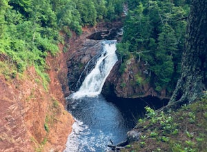
Hike to Superior Falls
4.00.5 mi / -100 ft gainSuperior Falls sits right next to the Superior River, near the northern terminus of the Montreal River. The parking area for the falls is rather large, and there are porta-potties directly next to the parking area. To see the lower region of the falls, you can hike down to the base of the river,...Read more -
Saxon, Wisconsin
Lower Potato Falls
3.60.48 mi / 207 ft gainComing into the park off Hwy 169 in Gurney, WI, you will turn West onto Falls Rd. It is a gravel road that ends at a circular parking lot, complete with a pit toilet, picnic area, viewing areas, and trailheads. Starting at the trailhead labeled "Lower Potato Falls", you will descend a couple hun...Read more -
Saxon, Wisconsin
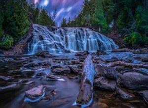
Upper Potato Falls
0.28 mi / 85 ft gainYou will turn off of Hwy 169 onto a gravel road, follow the road all the way to the end for the trail head. Please drive respectfully as people live on this road. Once you park, you will see multiple trails down to the river. Find the sign for Upper Falls and head that way. After .3 miles you wil...Read more

