Drummond, Wisconsin
Looking for the best photography in Drummond? We've got you covered with the top trails, trips, hiking, backpacking, camping and more around Drummond. The detailed guides, photos, and reviews are all submitted by the Outbound community.
Top Photography Spots in and near Drummond
-
La Pointe, Wisconsin
Camp on Madeline Island
5.0The largest of Wisconsin's Apostle Islands, Madeline Island is about the size of Manhattan, but extremely sparsely populated and a great place to explore a north woods ecosystem. The best way to get to the island is by ferry from Bayfield to La Pointe. From La Pointe, it is about a ten minute dri...Read more -
Duluth, Minnesota
Photograph Stoney Point Beach on Lake Superior
The AdventureThe work is done. According to The Photographer’s Ephemeris (app.photoephemeris.com) the sun will rise at 7:11 AM. You grab your gear, a hot beverage, and set out for the open road. Scenic 61 follows the shore of Lake Superior all the way from Duluth to Two Harbors, MN. The drive up ...Read more -
Duluth, Minnesota
Catch a Sunrise at Canal Park
5.0Quick and easy parking right on the north side of the northern break wall. It could be a few hundred foot walk if you want to walk out the entirety of the break wall.Read more -
Bayfield, Wisconsin
Kayak to the Sand Island Sea Caves
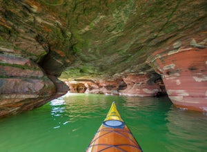
4.7Sand Island is a part of the Apostle Islands National Lakeshore near Bayfield, Wisconsin. You can (and will want to) explore the sea caves of Sand Island for hours, and this adventure will leave you wanting to explore more of the Apostle Islands National Lakeshore.GETTING THEREYou will start your...Read more -
Bayfield, Wisconsin
Catch a Sunset at Hokneson Fishery
0.16 mi / 11 ft gainBegin at the campground visitor center. Follow the marked paved trail right roughly .08 of a mile. The paved trail ends onto a sandy beach and the abandoned Hokenson Fishery. The trail itself is very short and should take less than 3 minutes to get to.Read more -
Bayfield, Wisconsin
Camp at Little Sand Bay Campground
5.0On a road trip from Kanasas City, MO to explore Lake Superior we stumbled across this amazing campground right on the shore of Lake Superior, Little Sand Bay Campground (34155 State Highway 13, Bayfield, WI 54814). After a long drive, you may want to take a nap :) Once you wake up, check out Mort...Read more -
Ironwood, Michigan
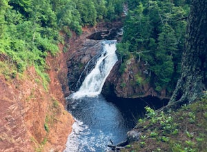
Hike to Superior Falls
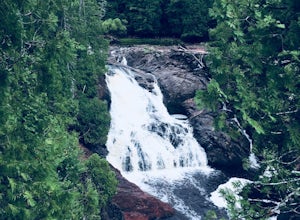
4.00.5 mi / -100 ft gainSuperior Falls sits right next to the Superior River, near the northern terminus of the Montreal River. The parking area for the falls is rather large, and there are porta-potties directly next to the parking area. To see the lower region of the falls, you can hike down to the base of the river,...Read more -
Duluth, Minnesota
Chester Creek Trail
4.52.13 mi / 282 ft gainChester Creek is a prime example of how Duluth, MN values the many green spaces within its borders. The trailhead to Chester Creek is easy to find. Right on the corner of 14th ave east and 4th st, across from Burrito Union. For those of you without another form of transportation, there is a bus ...Read more -
Saxon, Wisconsin
Hike to Saxon Falls
0.5 miAn unusual hike to see the falls, Saxon Falls sits next to a flowage station. On foot, follow the short, wooded hiking trail to the east of the parking area, which leads to the overlook location. For better viewing, continue down the path. The falls sports one of the deepest gorges in the region....Read more -
Duluth, Minnesota
Brewer Park Loop
5.03.45 mi / 472 ft gainBrewer park loop is located in West Duluth just above Skyline Parkway. The hike is a part of the Superior Hiking Trail that also has many mountain biking routes nearby and also intersecting the hiking route. The hike is well marked and easy to follow. From 40th avenue West/Haines Road there's a...Read more -
Duluth, Minnesota
Hike to Ely's Peak
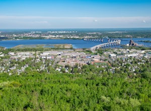
4.61.73 mi / 430 ft gainEly's Peak is located near the neighborhood of Gary-New Duluth. It is located right off of Becks Road. To get there from Grand Avenue you'll turn onto Becks Road. The small parking lot will be located about 2 miles north and will be on your right. If you are coming from Interstate I35, you'll tak...Read more

