Wyoming
Looking for the best photography in Wyoming? We've got you covered with the top trails, trips, hiking, backpacking, camping and more around Wyoming. The detailed guides, photos, and reviews are all submitted by the Outbound community.
Top Photography Spots in and near Wyoming
-
Yellowstone National Park, Wyoming
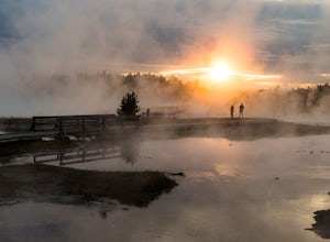
Drive The Firehole Lake Loop
5.0Firehole Lake Drive is a 2 mile one way road, near the Lower Geyser Basin in Yellowstone National Park. This is one of the hidden gems in Yosemite where you'll find solitude and quietness. You may see a few people here on a busy day, but you can often find yourself alone.While driving around the ...Read more -
Yellowstone National Park, Wyoming
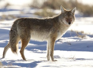
Photograph Wildlife in Lamar Valley
5.0This adventure is a little harder to pinpoint on a map because the Lamar Valley of Yellowstone encompasses a large area of the park. Also, the premier wildlife photography can be found on either end of what is officially "Lamar Valley" so you want to pay attention for a good part of the drive. Yo...Read more -
Yellowstone National Park, Wyoming
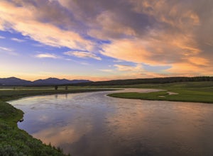
Capture the Sunset on the Yellowstone River
4.8The Yellowstone river is considered one of the most scenic and beautiful in all of the United States. It's grand canyon, waterfalls, and meadows filled with wildlife are all major attractions and rightfully so as they are all beautiful places.However, catching a sunset along the meandering river'...Read more -
Alta, Wyoming
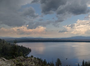
Hike to Jenny Lake's Inspiration Point
4.72.2 mi / 450 ft gainA relatively easy hike. Getting to the trailhead requires a short boat ride across Jenny Lake from the south side. Alternatively, it is possible to walk around the lake as well. Starting from the boat dock, the trail is only a ~0.8 mile climb to Inspiration Point (1.6 miles round trip). Shortly ...Read more -
Moran, Wyoming
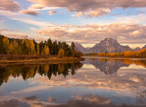
Photograph a Sunrise at Oxbow Bend
4.8A trip to Grand Teton National Park would not be complete without a visit to the iconic Oxbow Bend at sunrise. It is simply one of the most beautiful scenes on Earth, no matter what the conditions.Prime time for photographing this spot is usually the last week in September and first week of Octo...Read more -
Yellowstone National Park, Wyoming
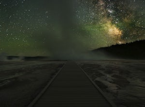
Night Photography at Yellowstone Geysers
4.8During the day this spot will be packed with people. Come back here at night time to get some beautiful night sky photography with the amazing hot springs and geysers in the foreground, without the crowds.If you are new to night photography, you can read my adventure on Mormon Row where I explain...Read more -
Alta, Wyoming
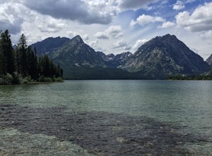
Leigh Lake via String Lake Trailhead
4.82.84 miLeigh Lake is absolutely stunning with about as many recreational activities as you can imagine for a lake. It is a short flat one mile hike from the trailhead at String Lake to Leigh. Once you get there can go as far along as you wish along the 2 mile lakeshore. You can also Kayak, Canoe, or SUP...Read more -
Jackson, Wyoming
Take a Sunrise Drive around Antelope Flats
4.540 miFrom Jackson drive north on Hwy 189. After you pass Moose Junction (which is the entrance ot Grand Teton NP) you will see Blacktail Butte on your left. Drive a bit further and just beyond the butte you will see a right hand turn which is Antelope Flats Rd. Turn here and continue driving.After sev...Read more -
Pinedale, Wyoming
Seneca Lake Trail
5.018.4 mi / 2280 ft gainThe Wind River Range is one of the best backpacking + climbing wildernesses in the lower 48. Seneca Lake is right at the beginning of some of the most spectacular high alpine climbing and backpacking routes. From the Elkhart trailhead parking lot, take the Pole Creek Trail directly adjacent to ...Read more -
Cody, Wyoming
Camp on the Clarks Fork of the Yellowstone River
4.0Coming out of Cooke City, MT follow the Beartooth Highway (named the most scenic byway in the U.S.) toward Beartooth Pass. Go about 8 miles.Once you drop back down into Wyoming and pass the Fox Creek campground on your left, start looking for the small break in the trees on your left. There is ...Read more -
Carbon County, Wyoming
Hike to the Summit of Medicine Bow Peak
4.41.6 miMedicine Bow Peak (12,014ft) is the highest summit in the Snowy Range of Wyoming. There is a network of quality alpine trails leading around the mountain and up to the summit. Stop in at the Visitor Center in Centennial for a free map of the area and pick your route. Options exist from a direct 1...Read more -
Yellowstone National Park, Wyoming
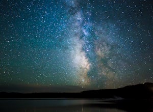
Photograph the Milky Way over Yellowstone Lake
5.0Yellowstone Lake is huge and it would take a few hours to drive around the entire lake. But traveling around the lake, there are many pullouts available to park your car and walk down to the lake just a couple of feet from the car. Make sure that you are looking for an interesting foreground and ...Read more -
Cora, Wyoming
Backpack Square Top Mountain
15 mi / 2400 ft gainYou have two options when starting from Green River Lakes Campground, located 52 miles north of Pinedale, WY, (21 of these miles are on a washboard dirt road). The first option is to start backpacking from the campground and follow the trail that runs alongside the first lake, up the river and pa...Read more -
Big Horn County, Wyoming
Summit Cloud Peak
4.823 mi / 4000 ft gainAlthough there is more than one way to access the peak, the most commonly used route begins at the West Tensleep Trailhead & Campground (44.258019, -107.215344) (Elevation: 9101 ft.) The trailhead can be reached from Buffalo, WY. Heading Southwest on Cloud Peak Scenic Byway (HWY 16) turn lef...Read more -
Pinedale, Wyoming
Photographers Point via Pole Creek Trail
4.59.26 mi / 1188 ft gainBegin at the main Elkhart Park parking area. Take the Pole Creek Trail directly adjacent to the restroom. You will follow this trail for approximately 4.5 miles through lodgepole pine forests and beautiful alpine parks. When you begin seeing large boulders and sheer rock walls, you are approac...Read more -
Lovell, Wyoming
Explore Devil's Overlook in Bighorn Canyon
4.5Bighorn Canyon is a quiet and beautiful National Recreation Area covering parts of Montana and Wyoming. No trip here would be complete without a visit to the iconic Devil's Overlook. It's best to enter through the southern entrance - to get to there, head east on Rd 14a from Lowell, WY. Turn left...Read more
Let Adventure be your Destination in Wyoming
Wyoming’s wide-open spaces make it easy to get off the grid and on a trail, through a park, into a forest, up a mountain or down a river. During your journey through Wyoming’s Black to Yellow Region, discover geologic marvels, dense evergreen forests and sprawling prairielands.
Learn More

